Category: Training
-
Mini Tour of the Southeast
TLDR – quick stats and map Day 1: YELLOW – the Alabama Skyway – 273.51mi. (22,838ft) Day 2: BLUE – the Cohutta – 177.57mi. (19,836ft) Day 3: RED – the Memories – 177.20mi. (19,344ft) Day 4: ORANGE – the Counties – 256.04mi. (16,388ft) Day 5: PURPLE – the Home Sweet Home – 173.77mi. (14,639ft) Total:…
-
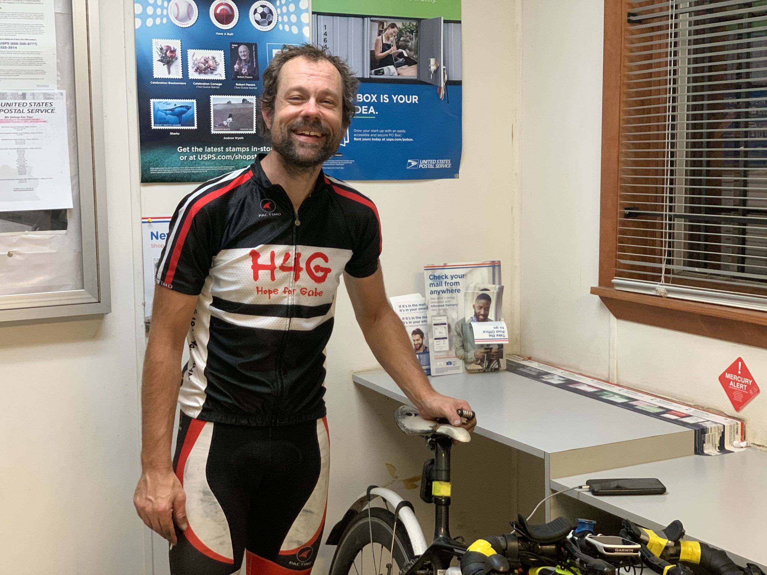
Cheaha Challenge 2020
This has been quite the year to remember. Coronavirus has changed up everybody’s lives and plans. And now we are seeing and hopefully participating in a movement to bring change to the systems of racial inequality that have lingered on for far too long. This year’s Cheaha Challenge got hit by the coronavirus with postponement…
-
Adventure in the Bayou
Rouge Roubaix My first ride in the bayous of Louisiana was this amazing race in 2010. Before the race, I had dreams of winning. By the end of the race, I was happy just to have finished. My best shot at winning the race came in 2012 where I won the $100 KOM (you physically…
-
Essom Hill Rd
Recap This was my first cold ride of the season – 252 fast and cold miles from Birmingham, Alabama to Cave Spring, Georgia and back. The average temp for the ride was 39 degF, with a low hovering around 25-27 degF for several hours. I woke up at midnight and left the house by 1:15AM.…
-
Low to high point fat bike fun in Minnesota
Ice beard less than halfway through the ride. Fun adventure in the north woods of Northern Minnesota today. I rode from the lowest point in Minnesota (Lake Superior, 603′) to the highest point in Minnesota (Eagle Mountain, 2301′). It was a tough ride with lots of uncertainty. I had attempted this same ride in 2016,…
-
Adventure Home in the Apps
View of the Great Smoky Mountains from near the top of Cherohala Skyway. “Apps” as in the Appalachian Mountains, not mobile apps or webapps – although both of those were discussed at the ACM Computing Conference I was attending in Gatlinburg, TN. I have been attending this conference in Gatlinburg every year for the past…
-
2016 Season Statistics – All of Alabama
https://www.youtube.com/watch?v=G07XcasQYLA 2016 Season StatisticsBeing able to participate in such a significant life-changing endeavor as the 2016 Ride4Gabe was certainly the highlight of my cycling year, and that led spontaneously to the establishment of a primary goal for 2016 – to ride in every county in Alabama in one year. I set this goal when I…
-
Thanksgiving Adventure
Michigan! 706 miles from Hoover, Alabama to New Buffalo, Michigan in two days! It has been a while since I’ve posted here, so I’m happy to be back with quite the adventure – a 706 mile ride from my home in Hoover, Alabama to New Buffalo, Michigan at the Northern Indiana border to meet my…
-
State high point adventure to Tybee Island, Georgia
825 mile ride to the coast via 60,000 feet of climbing in 5 states, including 4 state high points! 5 states, 4 state high points, 34 counties, lots of adventure! Click to enlarge and see detail. Title Distance Climbing Moving Time Elapsed Time Day 1 – AL to GAMt Cheaha (2407′) 184.6 mi 14,365 ft…
-
Cahaba River Adventure
Kristine and the kids out on the shoals in the Cahaba River National Wildlife Refuge outside West Blocton. I met them there 150+ miles into the ride. It was great to cool off and swim with them in the river amongst all the Cahaba River Lilies! The Cahaba River is the “longest free-flowing river in…