Lots of fun maps from the season. All of these maps cover routes between November 1, 2010 and October 30, 2011.
| Quick summary- | |
| Flying: | 3,900 mi. |
| Driving: | 17,300 mi. |
| Biking: | 17,600 mi. |
| Total: | 38,800 mi. |
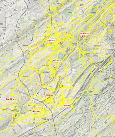 Zoomed in view of the Birmingham routes – Hoover, Vestavia, Homewood
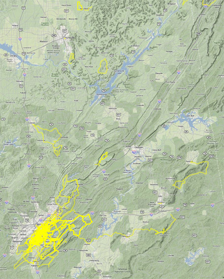 Biking in Alabama from Birmingham north and eastwards
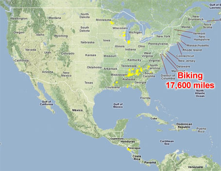 All bike routes (racing, training, and commuting) for the year
 Biking (racing, training, and commuting) all over the southeast
 Biking (racing, training, and commuting) all over the midwest
 Biking in Nicaragua for our June 2011 Nuevas Esperanzas board meeting
 All of our driving to/from races and/or family vacation spots
Lots of fun maps from the season. All of these maps are for one year (November 1, 2010 – October 30, 2011). 38,824 miles consisting of 3,940 miles flying, 17,314 miles driving, and
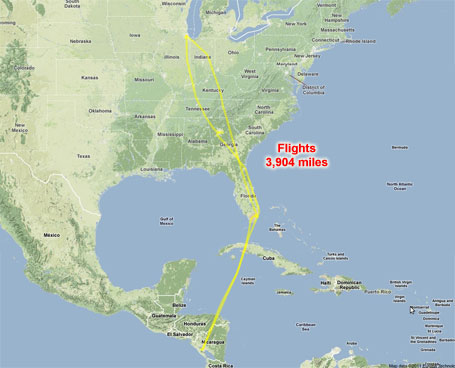 Roundtrip flight from Chicago to Nicaragua in June 2011
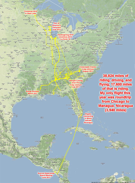 Everything all on one map – annotated
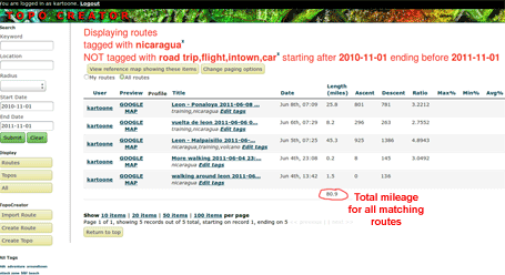 Screenshot of my website (topocreator.com) for creating these types of maps.
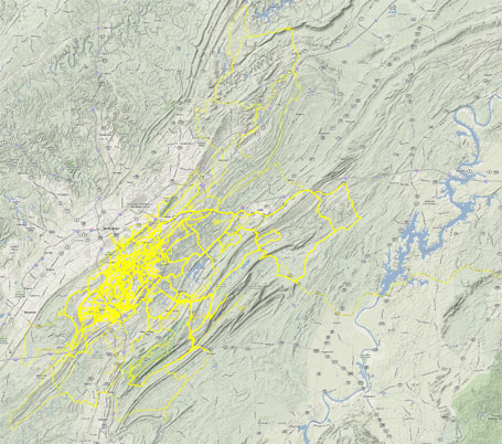 Biking near Birmingham
Leave a Reply