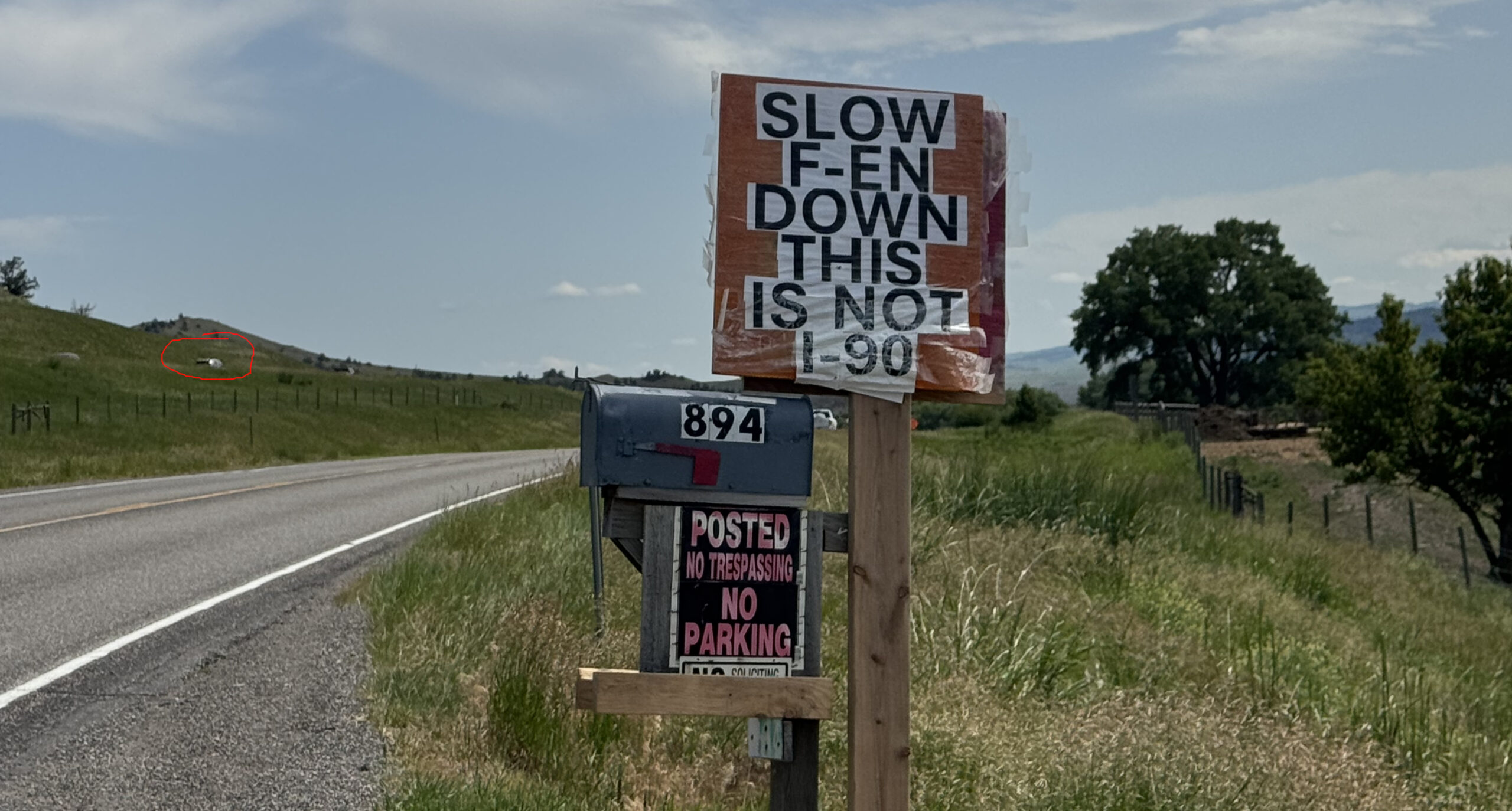
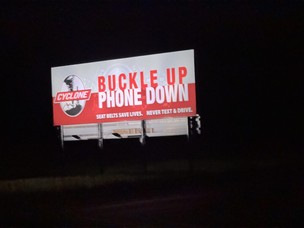
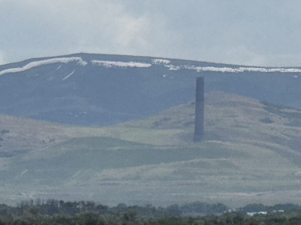
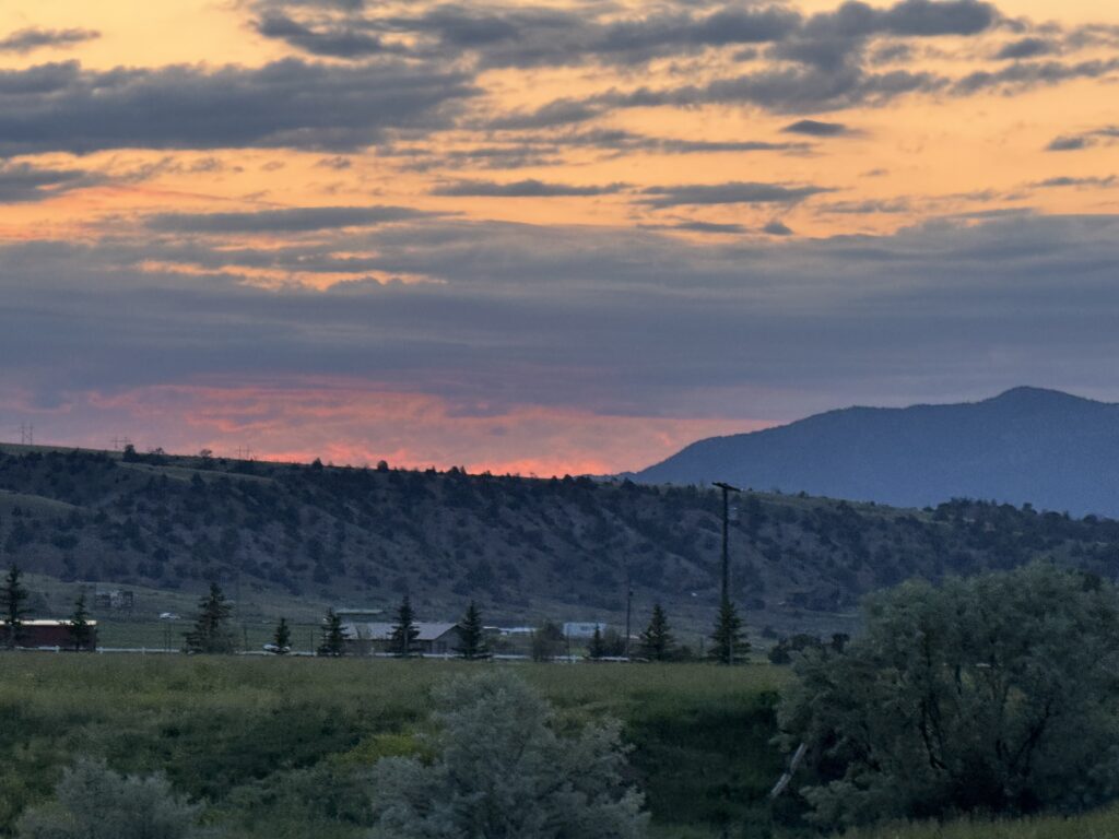
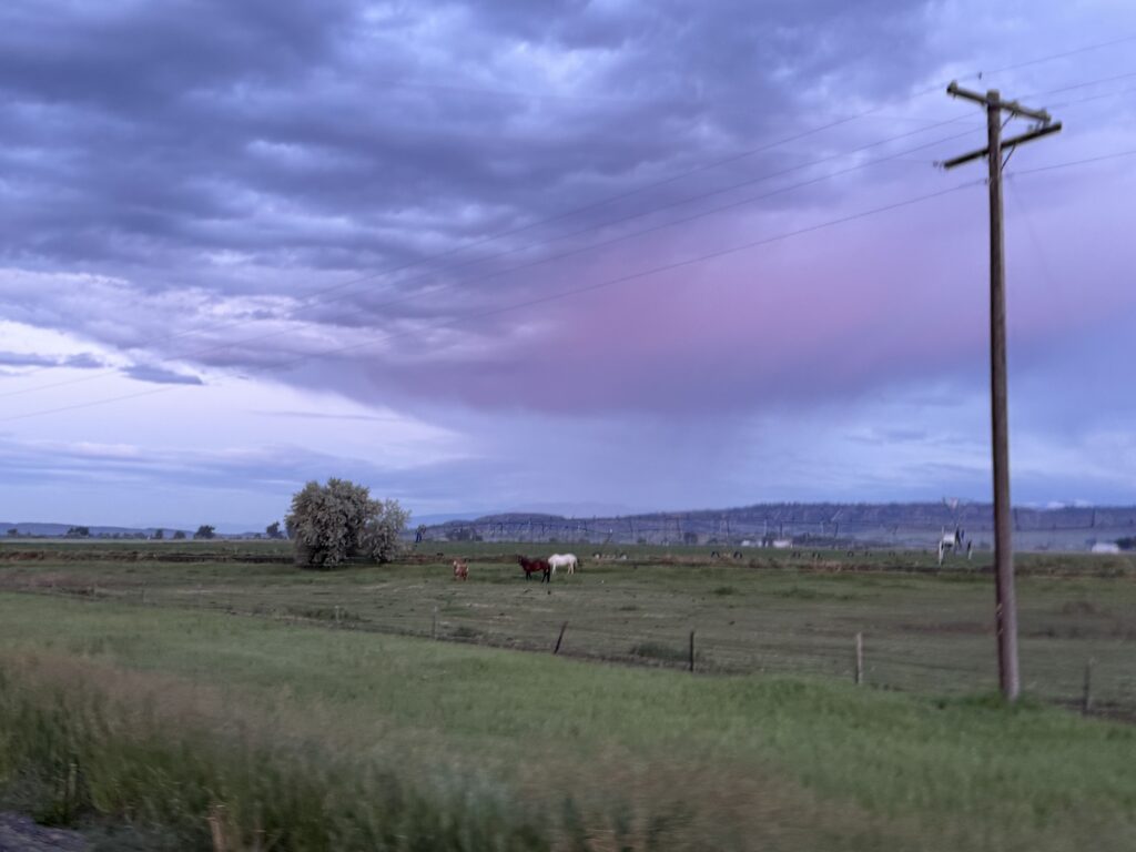
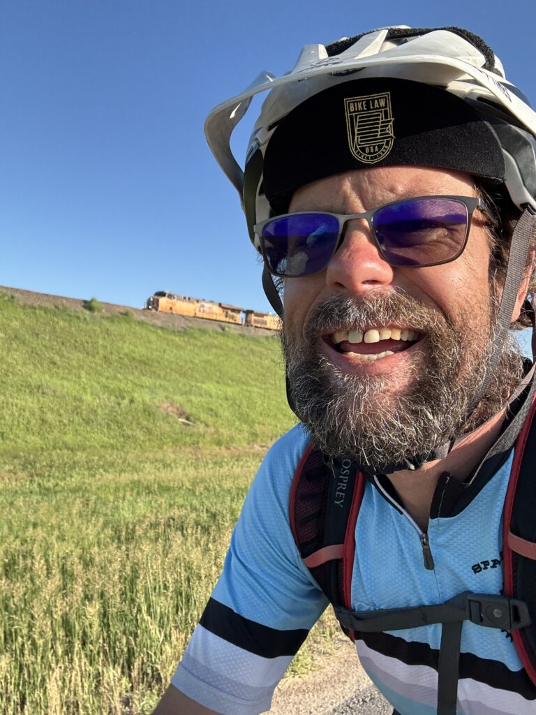
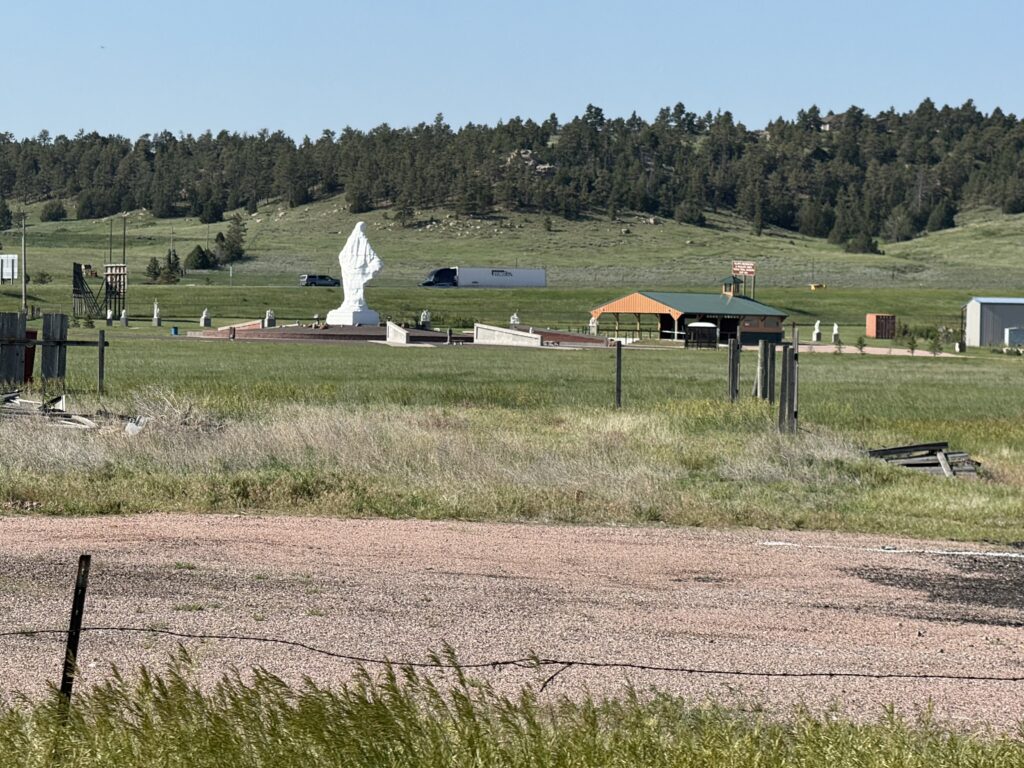
This blog tells the Idaho, Montana and Wyoming story of my 3757 mile data adventure riding home from Edmonton, Canada to my house in Hoover, Alabama while collecting videos, speeds and lateral passing distances for nearly 15,000 cars. The image above, similar to the first post (covering Days 1-4), is not my favorite – but it is a nice summary about the speeding problem I experience firsthand everywhere I ride. In the photo, I’ve highlighted the top of a truck just visible on I-90 which was immediately adjacent. I was very surprised by how much traffic was on this frontage road and by how fast they were driving. I can see why the homeowner was frustrated enough to create and post this sign.
TLDR Summary
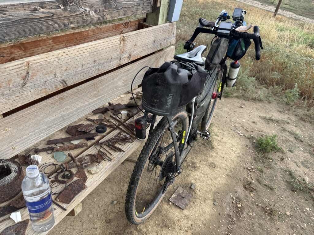
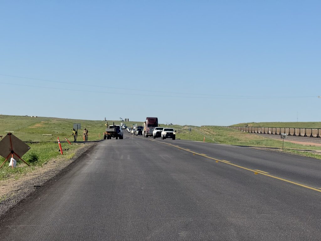
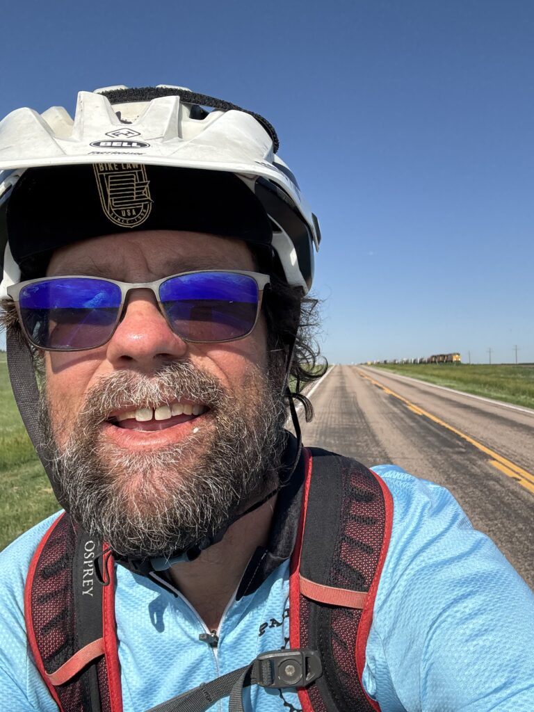
After breaking a spoke in Canada, I was worried about breaking another spoke or even the entire wheel on some of the more rural gravel forest roads I had included in my route. I ended up bypassing and rerouting around many of the dirt/gravel sections I had planned in this section. Sometimes the only paved road was the Interstate, so I spent quite a bit of time on I-90 and I-25. On the last day of this section, I had planned to turn south and cross the eastern part of Colorado, but there was a tremendous 25-30+mph headwind blowing up from the south-southwest.
As this was mostly a tail cross-wind and sometimes even a straight tailwind whenever the road twisted northeast a bit, I spontaneously decided to ride this incredible wind as long as I could. It ended up being 175 miles of tailwind from Cheyenne, Wyoming taking me out of the mountains and across the entire panhandle of Nebraska. Rather than turning into it and heading back southwest across Colorado, I continued on even further into Nebraska leading to my longest and fastest ride of the entire trip – 240 miles with average speed of nearly 17mph.
Daily TLDR and Links
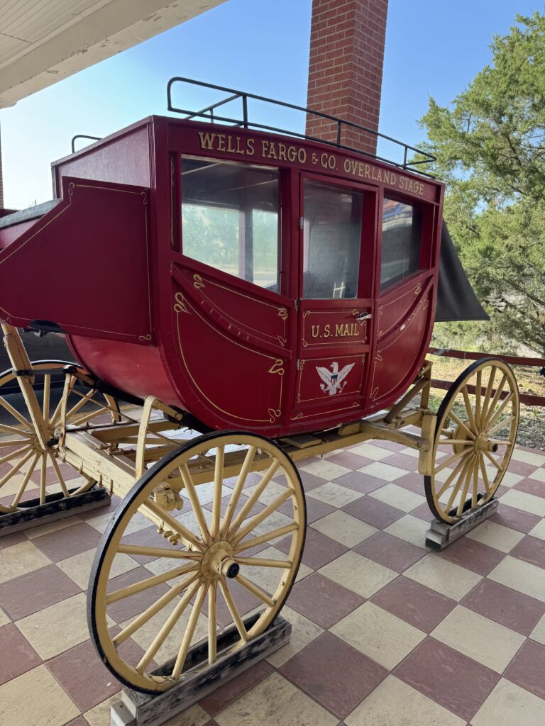
Click the image to jump to specific day and read all the details. I picked the best picture from each day.
Day 5: Couer d’Alene, ID to Missoula, MT
172.0mi, 7713 ft climbing, 12h 39m
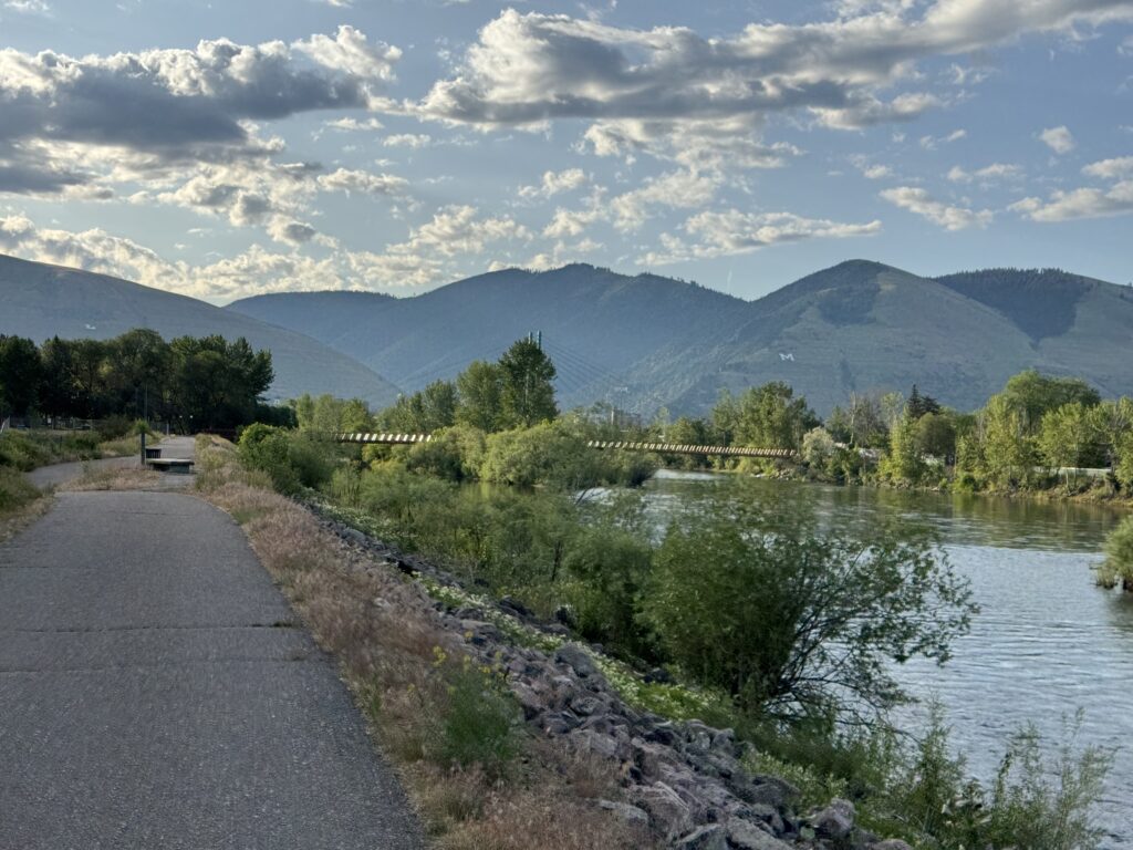
Followed the Ironman Couer d’Alene course for a while before merging onto I-90 to cross a pass and reach long rails-to-trail. Back on I-90 to cross into Montana.
Day 6: Missoula, MT to Butte, MT
135.8mi, 4291 ft of climbing, 9h 42min
Short day after cross-country biking rendezvous at the Days Inn, mix of bike paths, frontage roads, and more I-90 … entire day was gradual climb.
Day 7: Butte, MT to Columbus, MT via Cardwell, MT
200.2mi, 5554 ft of climbing, 13h 48min
Nighttime climbing to a beautiful morning sunrise through my wife’s family homestead in Cardwell followed by canyon biking and eventually waiting out afternoon thunderstorms in a gas station.
Day 8: Columbus, MT to Sheridan, WY via the Medicine Wheel Passage
199.1 mi, 11053ft climbing, 15h 30m
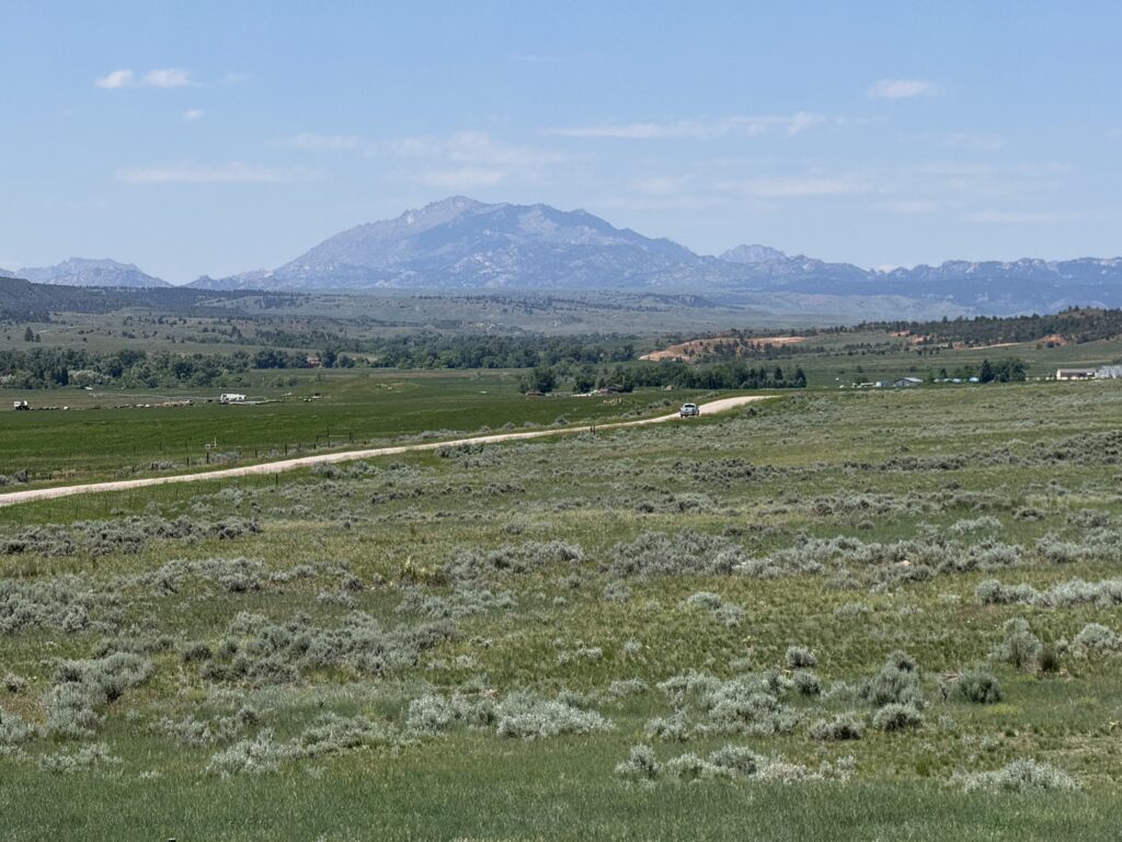
My favorite day of riding in the USA portion of this trip. The climb up Medicine Wheel was my third biggest climb ever. I also saw the most wildlife of the trip across the top of the long mountain pass.
Day 9a, 9b/10: Sheridan, WY to Gillette, WY followed by Gillette, WY to Wheatland, WY
9a: 109.7mi, 4203 ft of climbing, 7h 40min
9b/10: 176.4mi, 5600ft of climbing, 12h 31min
I knew it was going to get hot so I wanted to switch to more nightime riding. This was a great transition day after the long climb up Medicine Wheel.
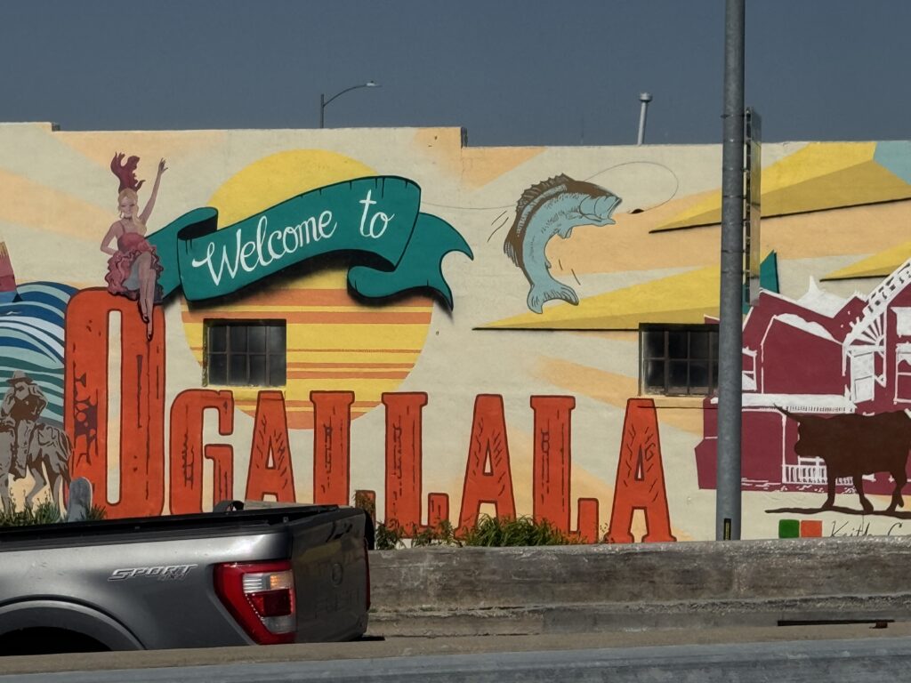
Day 11: Wheatland, WY to Ogalla, NE
240.7mi, 4682ft of climbing, 15h 34min
This ended up being the longest and hottest day of the trip, and I ended stopping in a different state (Nebraska) than I had planned (Colorado). This was also the point where I decided based on the wind to make a major route deviation east instead of heading south into Colorado and Oklahoma.
Day 5: Ironman, I-90, and bike paths
Coeur d’Alene, ID to Missoula, MT
172.0mi, 7713 ft climbing, 12h 39m
https://www.strava.com/activities/14802915008
1361 vehicles, 8.6/mi, 2/min, 57.3mph(avg), 93.1 mph (max)
https://www.mybiketraffic.com/rides/view/395142
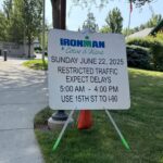
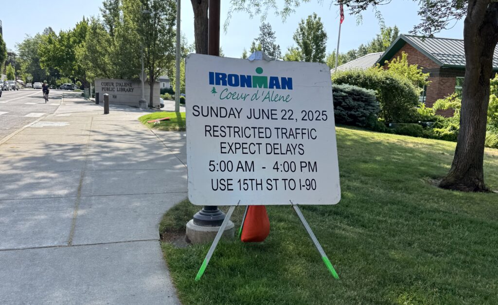
Having done laundry for the first time on the trip and a great sleep at a nice Holiday Inn Express, I was excited for a Saturday morning ride in a very popular cycling town (home of an Ironman 70.3 event). I was not disappointed with bike lanes, and as it turns out, there were signs everywhere about roads being closed for the Ironman that was happening a week later.
Before leaving Coure d’Elane, my first stop was a Walgreens where I was able to purchase something to address my growing saddle sore problems: a large bottle of the baby formula of Aquafor specifically labeled “healing ointment” version which has glycerin, panthenol, and bisabolol as well as a spray can of Dermaplast, which is a first aid treatment that is essentially an antibacterial spray combined with some form of numbing agent (Benzocaine (20%) and Menthol (0.5%))
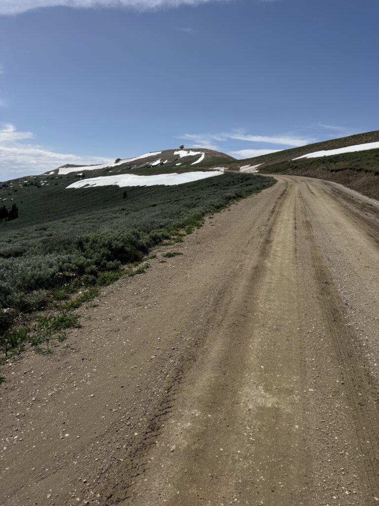
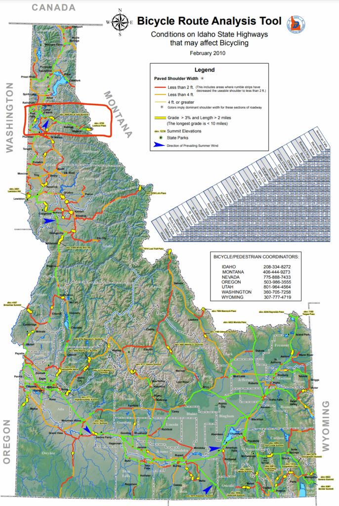
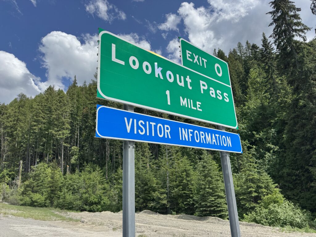
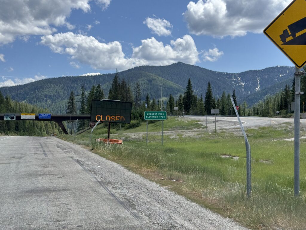
There is this amazing paved rails-to-trail bike path called “Trail of the Coeur d’Alenes” that crosses a good chunk of the Idaho panhandle. Unfortunately, even after spending the night in Coeur d’Alene, Idaho, I was nowhere near the trail because it is in a different river valley. Instead, I had to scramble (literally) up onto I-90 and then climb over a pass before dropping down into the same valley the trail goes through. Thankfully, I was able to join the trail there and ride it for about 20 miles. But unfortunately, it ends at a town called Mullan before making it across the pass. So I had to hop back onto I-90 finish a few more miles of the Idaho climb to make it up and over the pass and descend down into Montana.
I-90 was down to one lane under construction from the top of the pass at the Montana border, but it was a steep enough descent that at 35mph, I was able to keep up with traffic in front of me and even had to brake to keep from running into them. By the bottom it had opened back up into two lanes with a shoulder. It was here I tried to take a frontage road (Old US Hwy 10) down the mountain which just ended, and I mean “dead ended” into a little deer path and a river crossing right at the I-90 bridge over the river. Unfortunately, I had been descending, and I-90 has been climbing so that the interstate bridge was easily 50 feet above me. I seriously weighed the risks/rewards of scaling the boulders up rather than the gentle two mile backwards climb followed by two more miles to get back to the bridge (4 miles of climbing), but in the end I decided that my bike was just too heavy and that it would take nearly as long to scale the nearly vertical embankment and quite dangerous, too, with elevation of about 50 feet above the dead end road.
So I turned around and did the four mile climb back to the exact spot where I was standing. A few miles after crossing the river, I was able to hit one or two short frontage roads, a little more I-90, and finally frontage roads for good all the way to the Missoula airport Days Inn.
Day 6: UoM, bike paths, I-90 frontage, and endless I-90
Missoula, MT to Butte, MT
135.8mi, 4291 ft of climbing, 9h 42min
https://www.strava.com/activities/14812338408
1217 vehicles, 9.0/mi, 2.1/min, 71.0mph (avg), 109.6 mph (max)
https://www.mybiketraffic.com/rides/view/396138
Days Inn cross country rendezvous. At the end of the previous day as I made my way to Missoula, I called Stephen Peters and chatted with him for a while and chatted with him as I rode a long frontage road next to I-90 in the dark. It was really great to pass the miles and catch up on life.
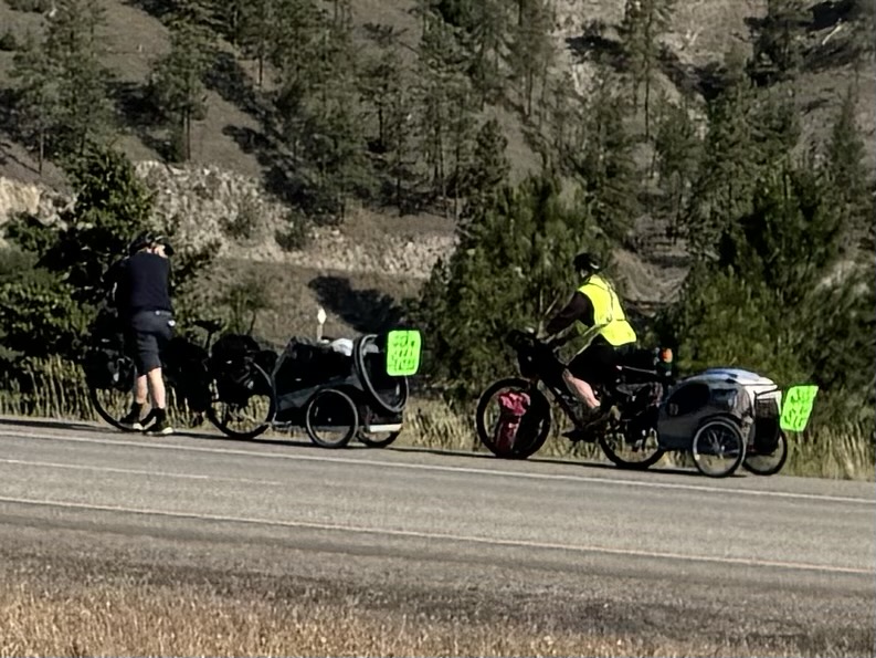
I made it to the Days Inn quite late, maybe around 10pm, grabbed some food from the gas station next door, ate, showered, and slept. Because it was late, I was sleeping in long enough that I could catch some of the contintental breakfast. While I grabbed a couple things, a guy from Germany asked me where I was heading to, I sat down with him and we chatted bikes. He had started in San Francisco and had made it to Missoula. He said he had talked to other people cross-country riders when he checked in earlier than me the night before. That means there were at least four riders independently riding across the country. His final destination was Washington DC and he was still working out his route and deciding on seeing Yellowstone or not.
The rider I met had also come from Coeur d’Alene, the day before and we commiserated over how challenging it was to figure out the navigation between the two cities avoiding I-90 as much as possible. I was itching to go, so I could get out ahead of traffic on the roads, and was ready to head out the door after we chatted a bit. It did get hot eventually, but it was still plenty early enough on a Sunday morning for most of the roads to be deserted. I enjoyed some bike paths near the University of Montana and since I was no longer on my primary route which had me spending the night at a different Days Inn on the far south of town, I was scrolling through the Garmin and following what looked like the most popular route for cyclists to take that ended up spending a lot of time alongside I-90, but still ended up on I-90 for a couple stretches.
At a gas station towards the middle of the day where I had just left I-90 to get on business I-90 and take that through town before resuming my trek into Butte via I-90, I ran into a husband/wife who said they had just come down from Banff after seeing their cousin start the Tour Divide a few days earlier! It was awesome chatting with them for a few minutes and what are the odds of this chance encounter?!?!
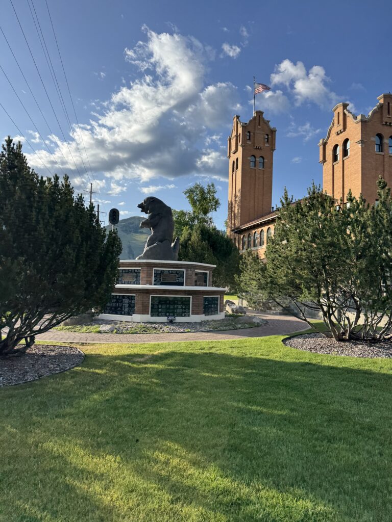
The entire day was a long, gradual climb from 3000 feet at the beginning to 5500 feet ending in Butte, MT where I had spent a frustrating night during the 2022 Tour Divide. This time, I arrived early in the afternoon so I could sleep early and get started in the middle of the night to beat the traffic assuming I would be on I-90 again the next day. It was Father’s Day, too, so I called my dad while I walked across the street to the Butte Gyro’s Wagon to wish him a happy father’s day.
Day 7: Nighttime climbing on the Divide, the Cardwell homestead, and “Big Sky” storms
Butte, MT to Columbus, MT
200.2mi, 5554 ft of climbing, 13h 48min
https://www.strava.com/activities/14822889610
1170 vehicles, 5.8/mi, 1.4/min, 56.5mph (avg), 101.0 mph (max)
https://www.mybiketraffic.com/rides/view/396941
This was probably my second favorite day of the US portion of the trip. I started out on a state highway leaving Butte that eventually merged with a paved portion of the Tour Divide route on a big climb that I decided to take instead of getting back onto I-90 and trying to ride the shoulder in the dark.
I saw the spot where the divide route left the road and climbed up into the national forest remembering at least a little bit what it was like that day, whereas I continued to climb far up the mountain to the top of the pass. It was a super long descent afterwards, and it had gotten cold overnight. So I stopped at the top of the pass to put on my warm clothes and then enjoyed a fast, long 10+ mile descent steep, followed by gradual descending for the next 30 miles, too.
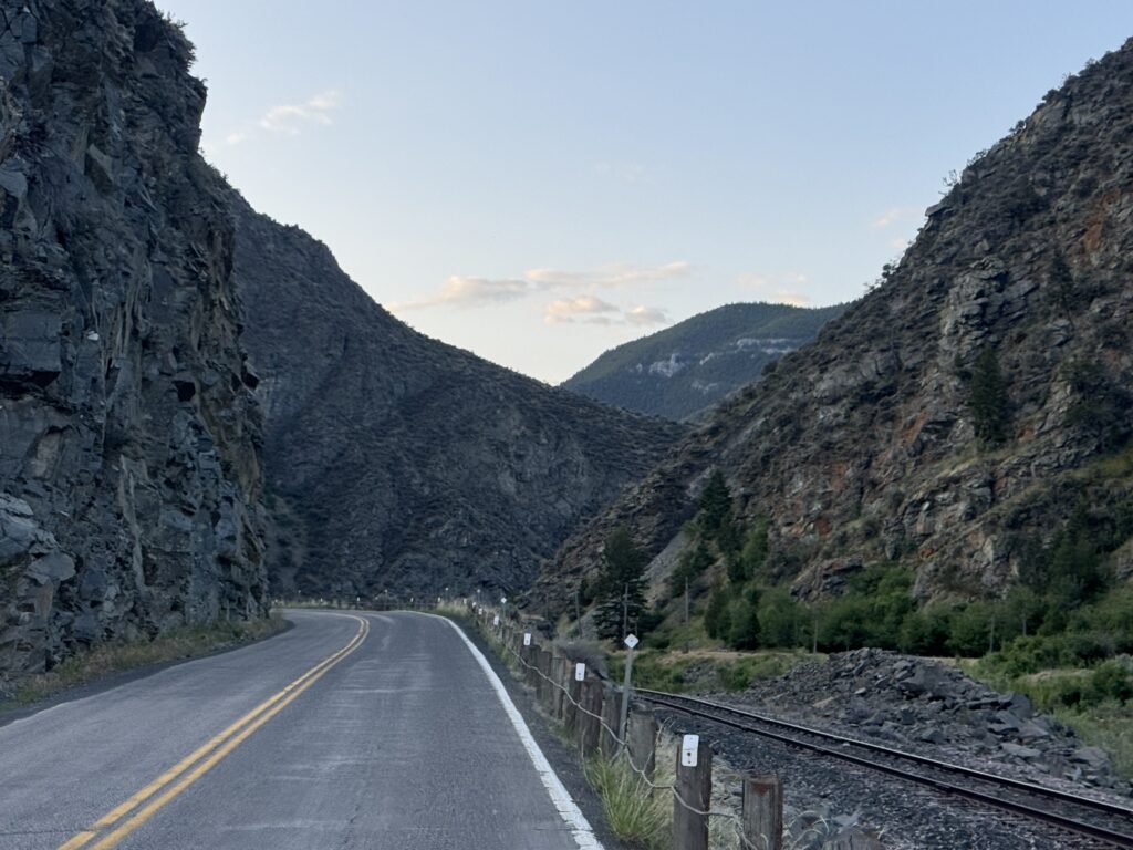
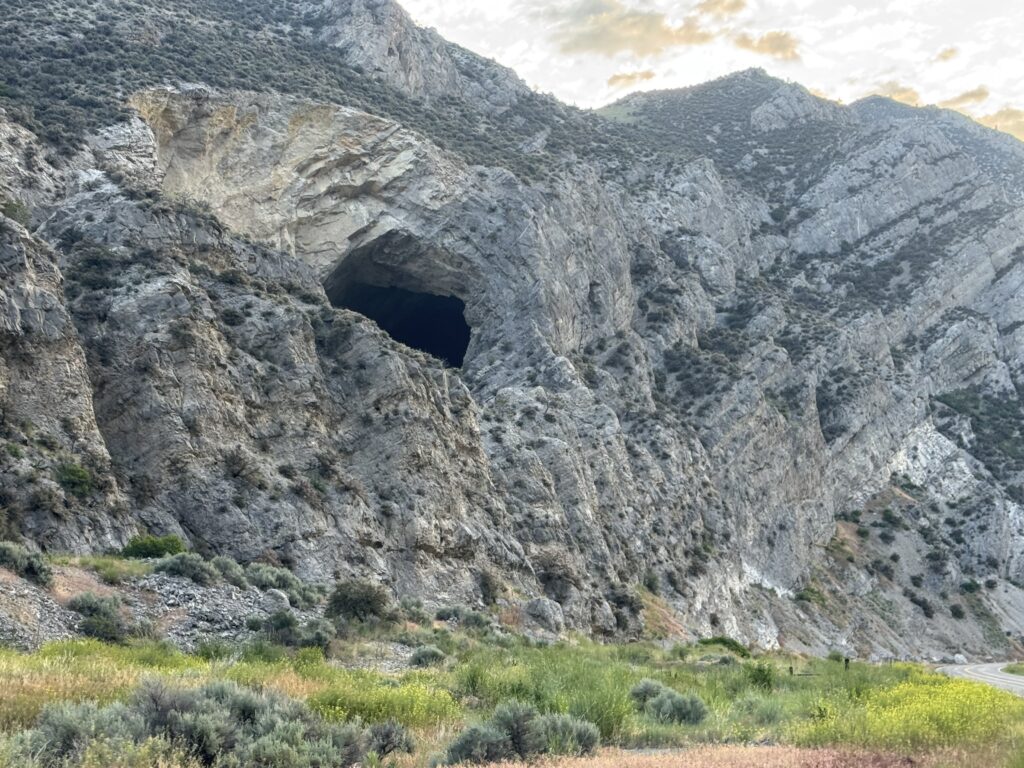
During this time, I made it to Cardwell, Montana where my wife has family roots with the tiny town named after one of her distant relatives on her father’s side. I stopped to take a selfie at the post office and then continue on out of town. One of the coolest parts of this was the state highway I was on followed a river through a canyon with railroad tracks alongside the river to my right and all kinds of caves and rocks on the mountain wall to my left. There was an official caving area with a state park, but I wasn’t in the mood to detour to get closer.

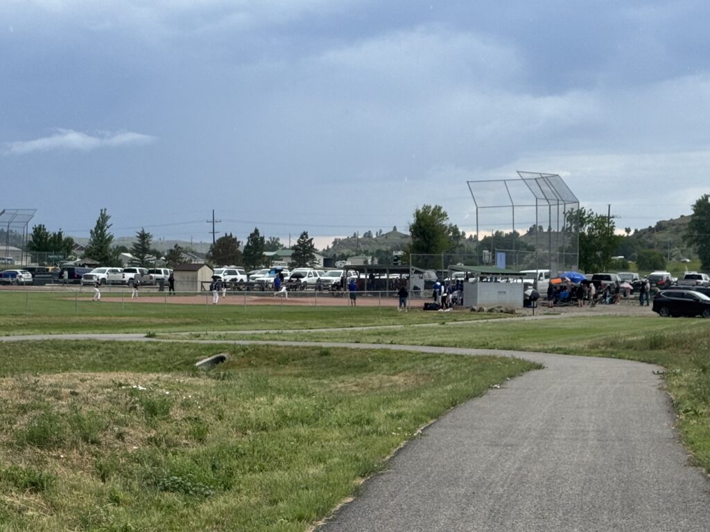
I’m glad I didn’t because as I finally made it to Columbus, MT there was huge storm clouds that had been approaching from the right with large rain drops starting to fall. There was a large, standalone baseball field packed with fans and a game going on across from the hotel I had booked while riding. I figured they would get soaked, but the storm ended up veering around town I think. But I was asleep pretty quick as soon as I checked in after 200 miles on the day.
Day 8: Medicine Wheel passage
Columbus, MT to Sheridan, WY
199.1mi, 11053 ft of climbing, 15h 30min
https://www.strava.com/activities/14834521423
359 vehicles, 1.8/mi, 0.4/min, 50.8mph(avg), 115.3mph(max)
https://www.mybiketraffic.com/rides/view/398017
This was easily my favorite day of the USA portion of the trip, but Day #2 in Canada was still my favorite of the entire trip. The opening part of the day was on my original planned route, but in an effort to cut off some miles to try and get me back on the time schedule I had laid out to arrive back home by the end of June, I figured out a shortcut that would shave off 100+ miles of the route. This would miss some of the new counties in Wyoming I had planned on riding in, but by this point I was focused on making it all the way home successfully and relatively “on time”.
It started out hard with a ton of climbing through an area we had driven through on our family trip up to the start of the Tour Divide in 2022. We had spent the night with a friend of Kristine’s from college who owned a hotel in Red Lodge at the base of the mountains leading up to Yellowstone. They lost the hotel completely in the flooding of 2024. I wasn’t expecting so much climbing, but it was one ridge after the other in the dark. After a few hours of constant hills, I made it to US highway 212 that we had driven on to get to Red Lodge. But instead of turning towards Red Lodge, I turned the other way north towards Joliet where I would follow a different US highway (310), southeast for many miles eventually crossing over into Wyoming.
It was a very long gradual climb following some railroad tracks where I “raced” a train that caught and passed me but then must have slowed down b/c I caught back up to it before the top. It wasn’t long after entering Wyoming that I started veering more east to a town where my shortcut up and over the pass started.
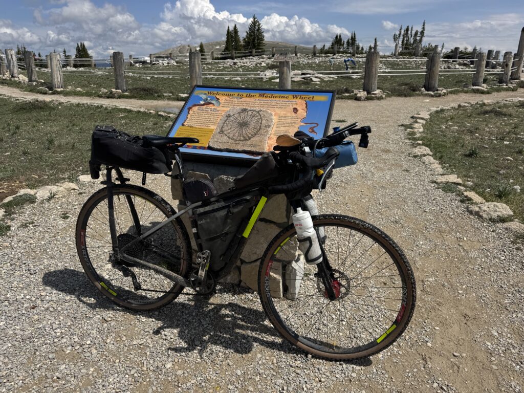
That shortcut was my third biggest climb ever up and over Medicine Wheel passage starting at an elevation of 3650 feet and ending at an elevation of just over 9600 feet at the Medicine Wheel itself, which is a Native American ceremonial area at the top of the mountain.
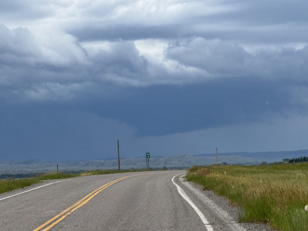
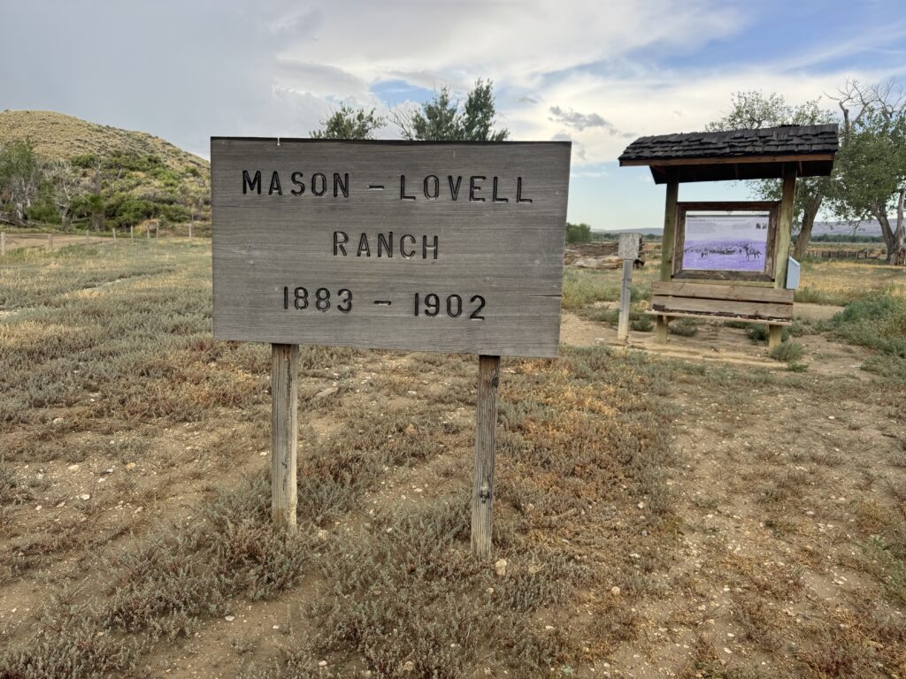
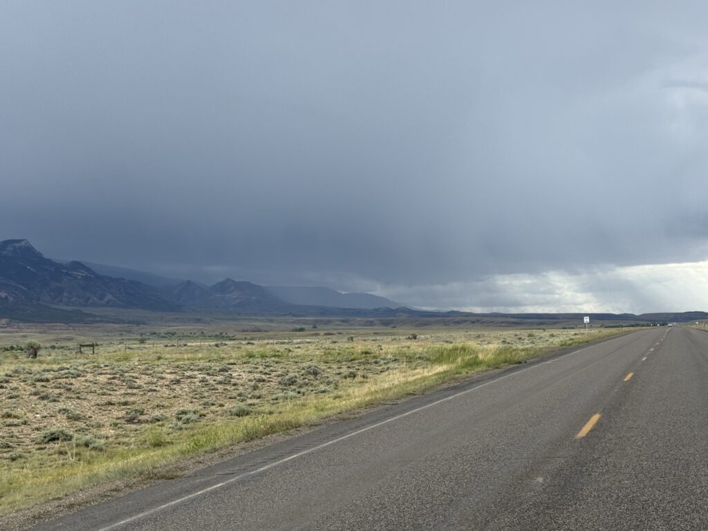
But even before I made it to the start of the climb, I had already been soaked by one passing morning storm and another one had big dark clouds and lots of lightning that was catching up to me pretty fast. There was a dangerous lightning strike very, very close to me in an area that was completely devoid of trees or shelter. But I saw signs for a historic ranch almost immediately afterwards and took the detour down a dirt road back up the little part of the mountain I had climbed to this ranch preserved as a historic monument. I decided I would just wait it out to let the storm clear out ahead of me.
I only needed to wait a few minutes b/c I was much slower than the storm as I gradually crawled back up the mountain, and the storm was heading away from me. By the time I made it to the first steeper section of the climb it was already sunny and getting hot. It was quite sunny, quite hot, and quite windy for the rest of the climb, but eventually I did reach snow and the temps had dropped presumably from the leftover snow blanketing a lot of the upper peaks.
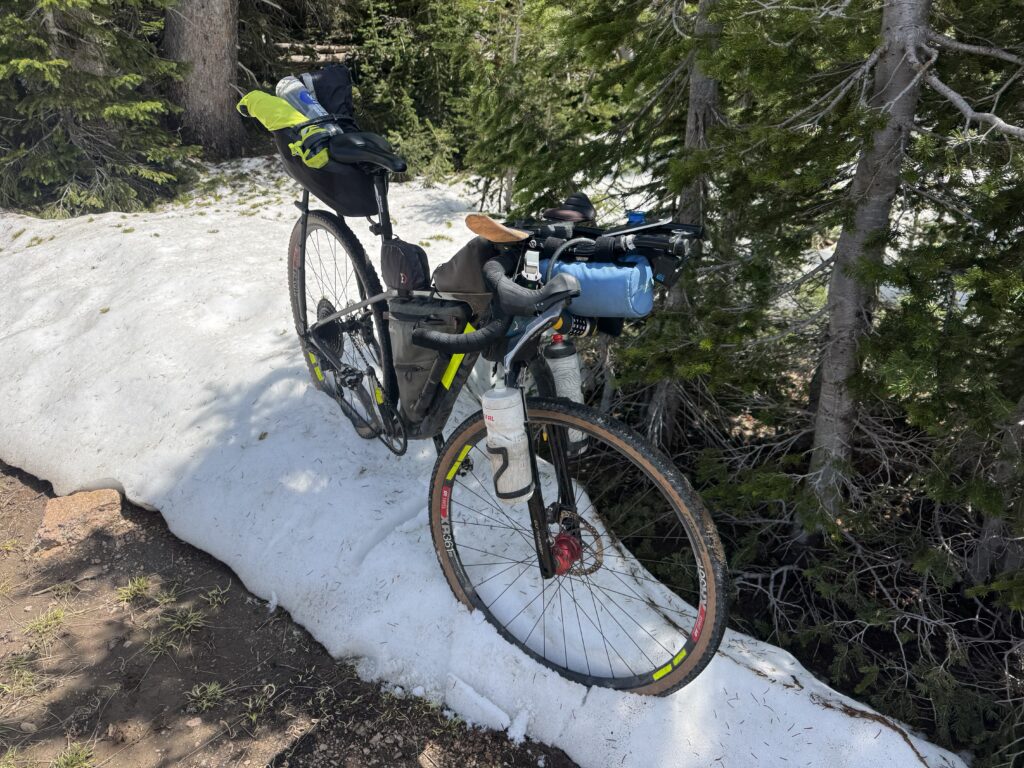
At the top, to get to the medicine wheel, I had to ride through some peanut butter mud and then hike-a-bike alongside the dirt road in the grass. Somewhere through here I dropped my completely full 33oz smart water bottle and didn’t realize it. I had just carried that heavy bottle all the way to the top and didn’t realize it was missing until I needed it on the long ride across the top of the peak and eventually climbing another peak before finally hitting a lodge where I could get water. But even then, that was after I begged some water off some tourists who had stopped to get picture of moose alongside the road.
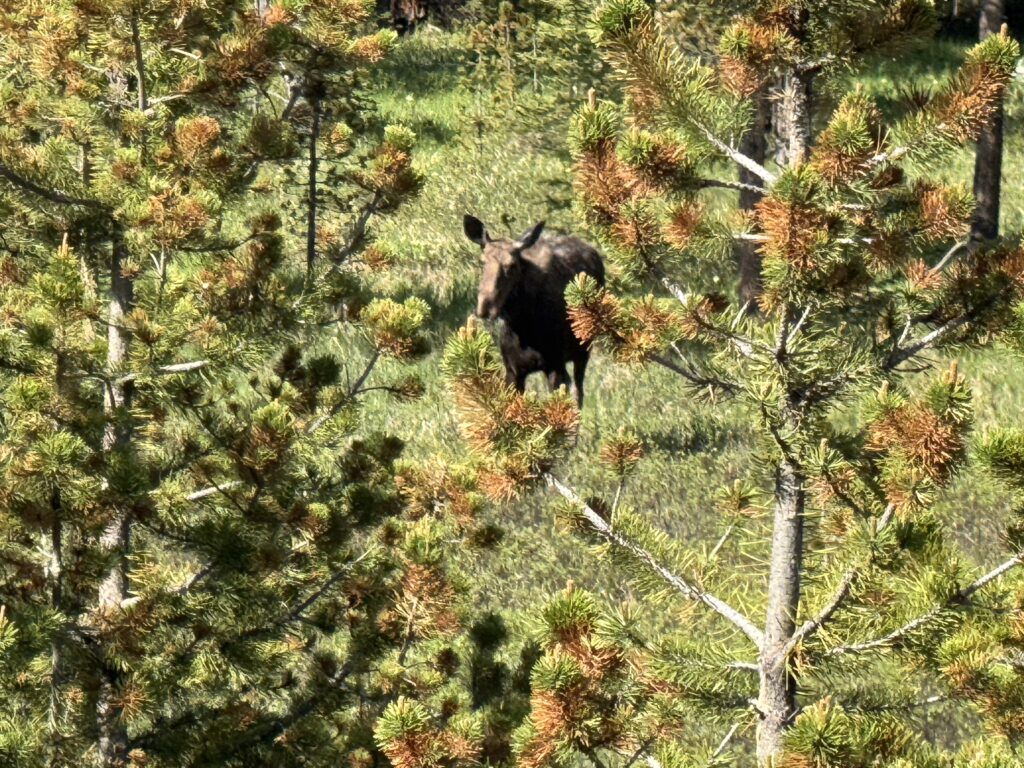
This was the day where I saw the most wildlife with lots of elk and moose, including a baby moose and its mama. All of this wildlife was across the top of the pass and before the long descent down to Sheridan, Wyoming.
Days 9 and 10 (9a, 9b): Rural friendly places and here comes the HEAT
Day 9a (Wednesday 7am)
Sheridan, WY to Gillette, WY
109.7mi, 4203 ft of climbing, 7h 40min
https://www.strava.com/activities/14844046988
135 vehicles, 1.3/mi, 0.3/min, 51.3mph(avg), 95.9mph(max)
https://www.mybiketraffic.com/rides/view/399014
Day 9b/10 (Wednesday 11:45pm-Thursday afternoon)
Gillette, WY to Wheatland, WY
176.4mi, 5600ft of climbing, 12h 31min
https://www.strava.com/activities/14853997640
555 vehicles, 3.1/mi, 0.7/min, 62.6mph(avg), 100.4mph(max)
https://www.mybiketraffic.com/rides/view/400015
I made it to Sheridan a little after an 8pm sunset and decided to hang around for the hotel breakfast so I didn’t get on my way until almost 7am. I had already planned on a short day to reset my schedule so that I could start doing mostly night riding knowing that I was going to be heading into the heat of summer soon. The terrain had changed quite a bit as it felt like the high plains with no trees and full sun.
Everything went great except for one small problem, I had decided to take a rural US highway instead of the interstate and the one solitary town I was going to go through on the 109 mile route had recently closed its gas station. I found this out because I was completely out of water and there were a couple of guys working on a construction site next to the post office. I asked them if there was any place I could get water, and they said there’s no stores but we’ve got a big work jug you can use. So I filled up both bottles, and they told me there was one bar/restaurant at a place called Spotted Horse that might be open but that given it was the middle of the week there was no guarantee whether it would be.
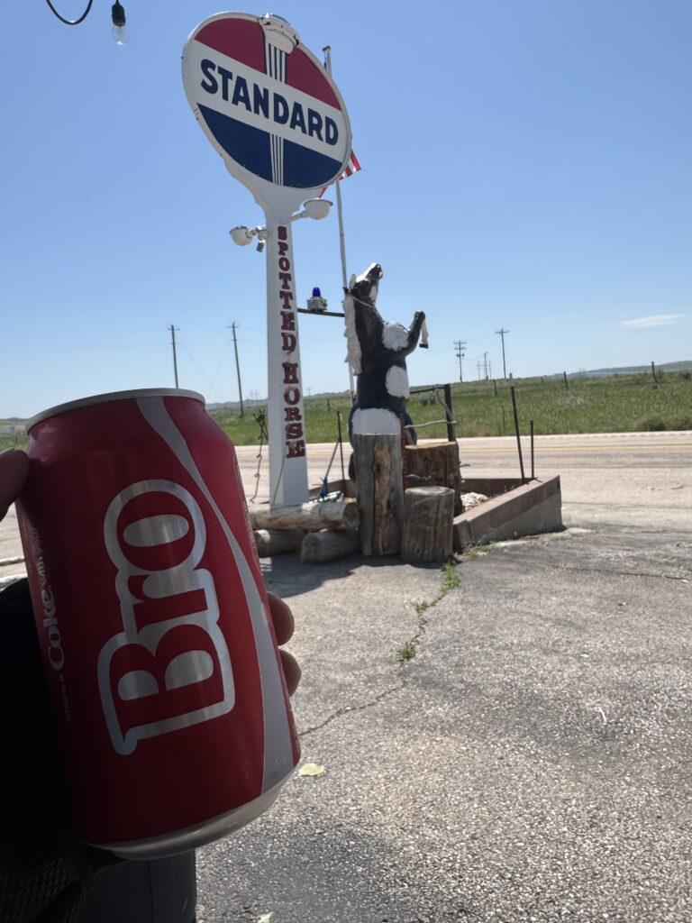
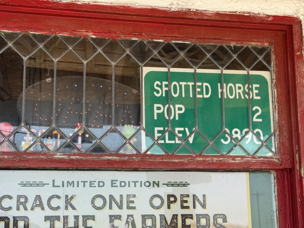
When I made it there around lunchtime, it was open! I was able to get two cold cans of coke and a bottle of water to make it the rest of the way to Gillette.
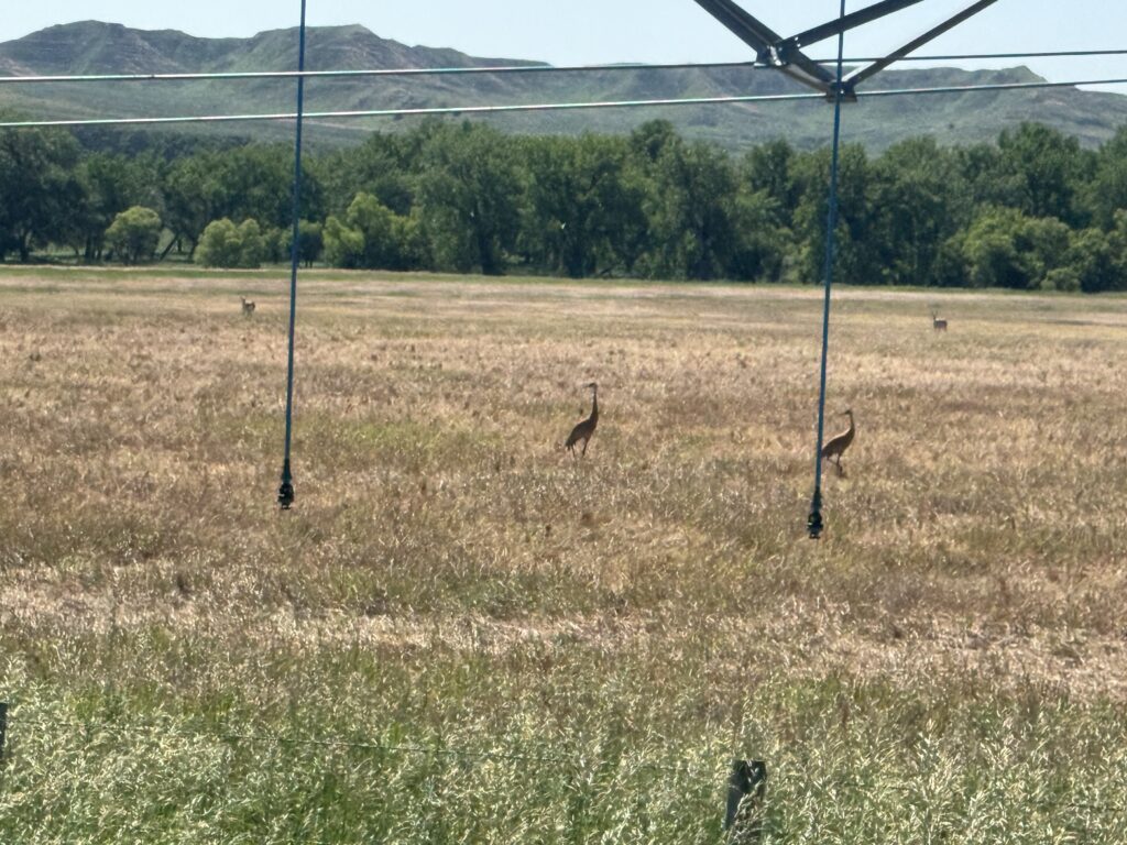
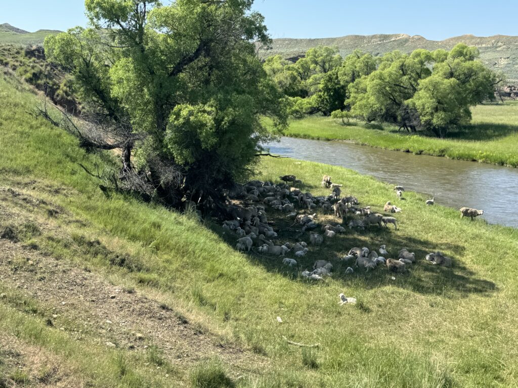
The other highlight through here was LOTS of sheep, pronghorns with their crazy hopping “gait”, and even two sandhill cranes.
Gillette was hilly and busy, and I needed to run by a bike shop to see about replacing my chain. The bike shop was a combo skateboarding / ski / bike shop, and they were super friendly, but it didn’t look like they could work me in to get the chain changed, and I really wasn’t having any problems shifting. So they recommended I just spray down the bike and relube the chain to deal with the annoying creaking that had developed. So I borrowed a hose and towel and washed everything out back of the store before heading back for a quick lunch and afternoon nap so I could started early for the next day where I would be leaving the mountains and descending down into the heat of what I thought would be the southwest (and instead ended up in the midwest!)
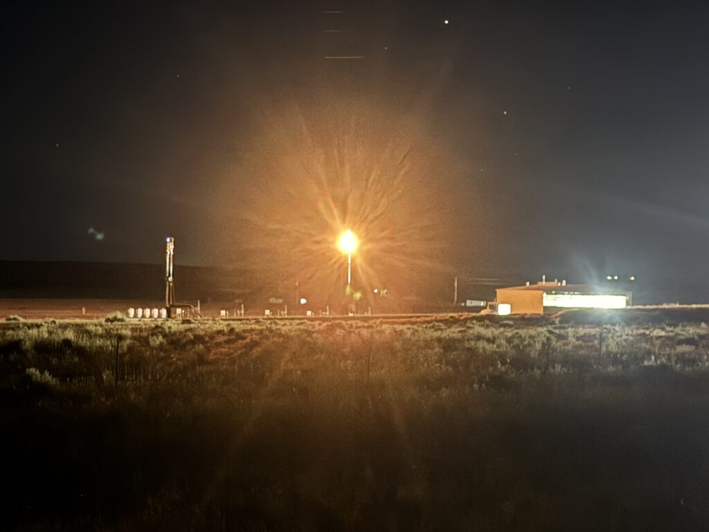
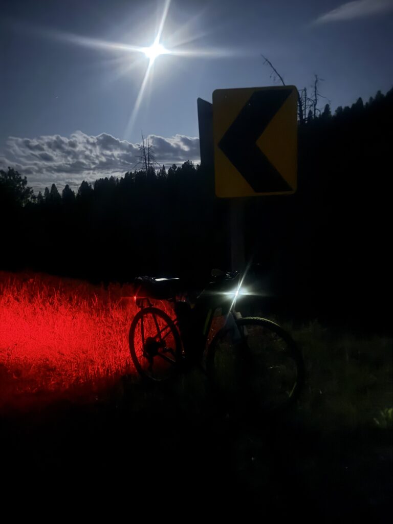
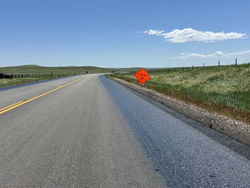
I ended up leaving Gillette around 11pm and was going to be on what the bike shop people had told me was a dangerous busy road … even at night. And it was quite busy with trucks and cool looking oil/gas wells on fire (burning the waste gas, I think). The truckers were fairly frequent, extremely fast, and good on a mostly long, straight, but hilly road. Still a couple of them gave loud, angry honks if I didn’t get far enough into the shoulder practically riding in the cacti/brush lining the road.
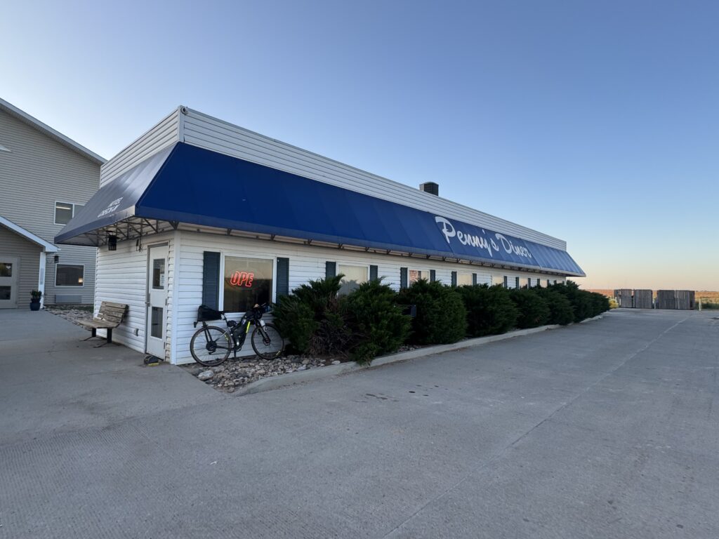
The highlight of this ride was stopping at about 3am at a rural town where I ended up talking with the truck stop owner outside for quite a while. He was telling me about the history of the town and him growing up there and how it has grown over the years. It was great to get me through the night which had gotten quite cold. He told me I had a ways to go to get to the next stop … Penny’s Diner – a 24/7 diner attached to a rural hotel – that stays open all the time for the weird schedules of all the oil workers and truckers coming through the area.
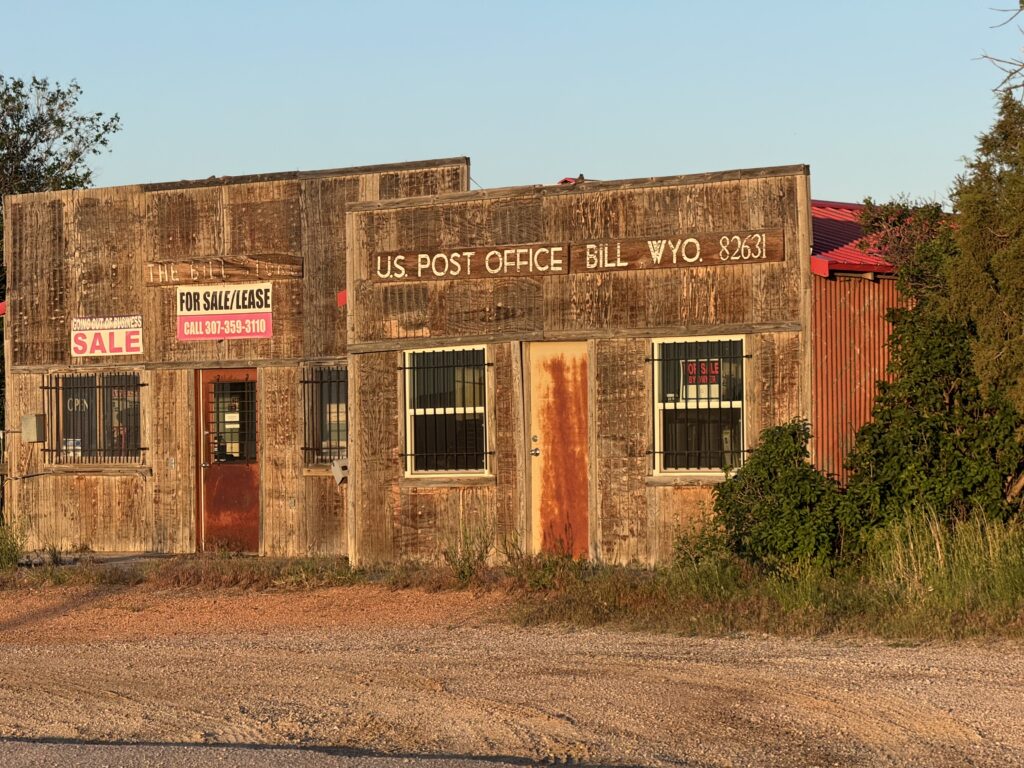
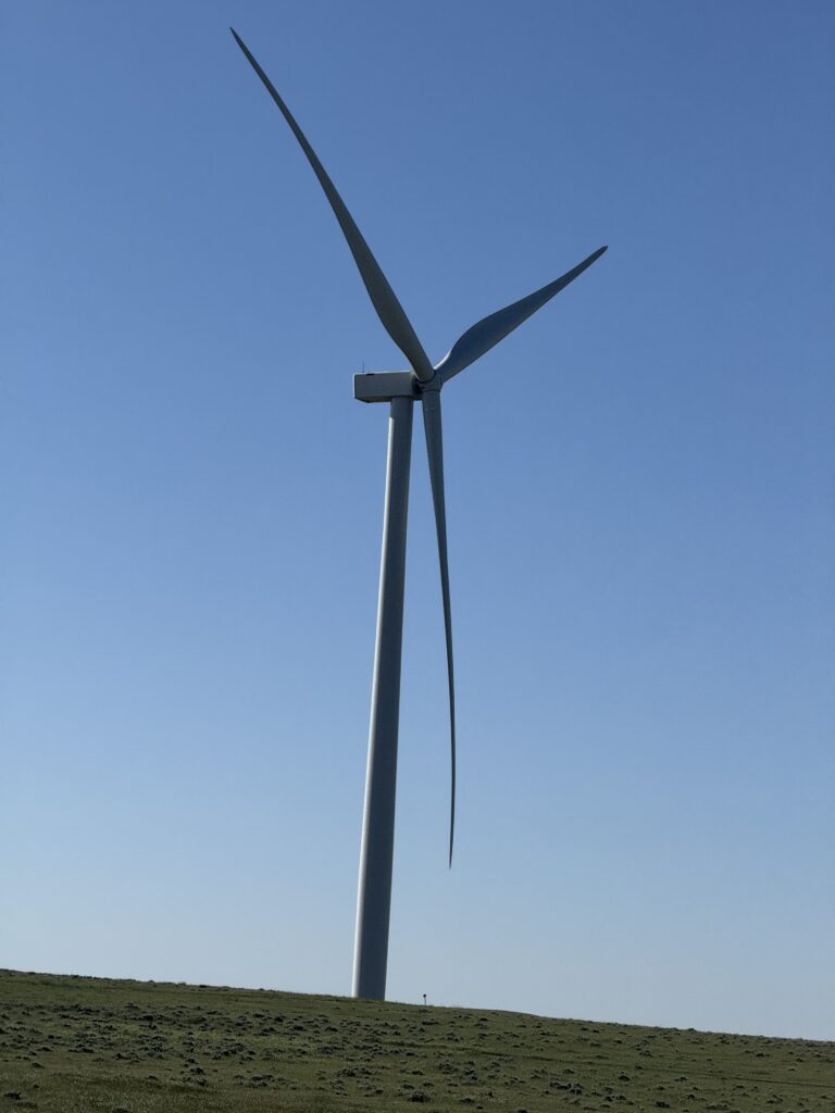
I was looking forward to that forever and made it to Bill, Wyoming with its abandoned wooden post office just after sunrise. I took my time and had a great breakfast and got a large cinnamon roll “to go”, too. Originally I had planned on making it all the way to Cheyenne, but I changed up my plans b/c it got very, very hot as I bike on this very busy highway forever, and it was down to one lane for many miles, which actually made it a bit safer. I raced trains, windmills, and cars – Don Quixote style.
I booked a hotel for Wheatland, WY which seemed like the entire town was under construction. Eventually I made it to the hotel after riding a completely stripped dirt highway for a while — plenty early enough so that I could get another early start before midnight.
Day 11: Blown out of the Rockies into the high plains
Wheatland, WY to Ogallala, NE
240.7mi, 4682 ft of climbing, 15h 34min
https://www.strava.com/activities/14864170310
339 vehicles, 1.4/mi, 0.4/min, 49.8mph(avg), 82.0mph(max)
https://www.mybiketraffic.com/rides/view/400973
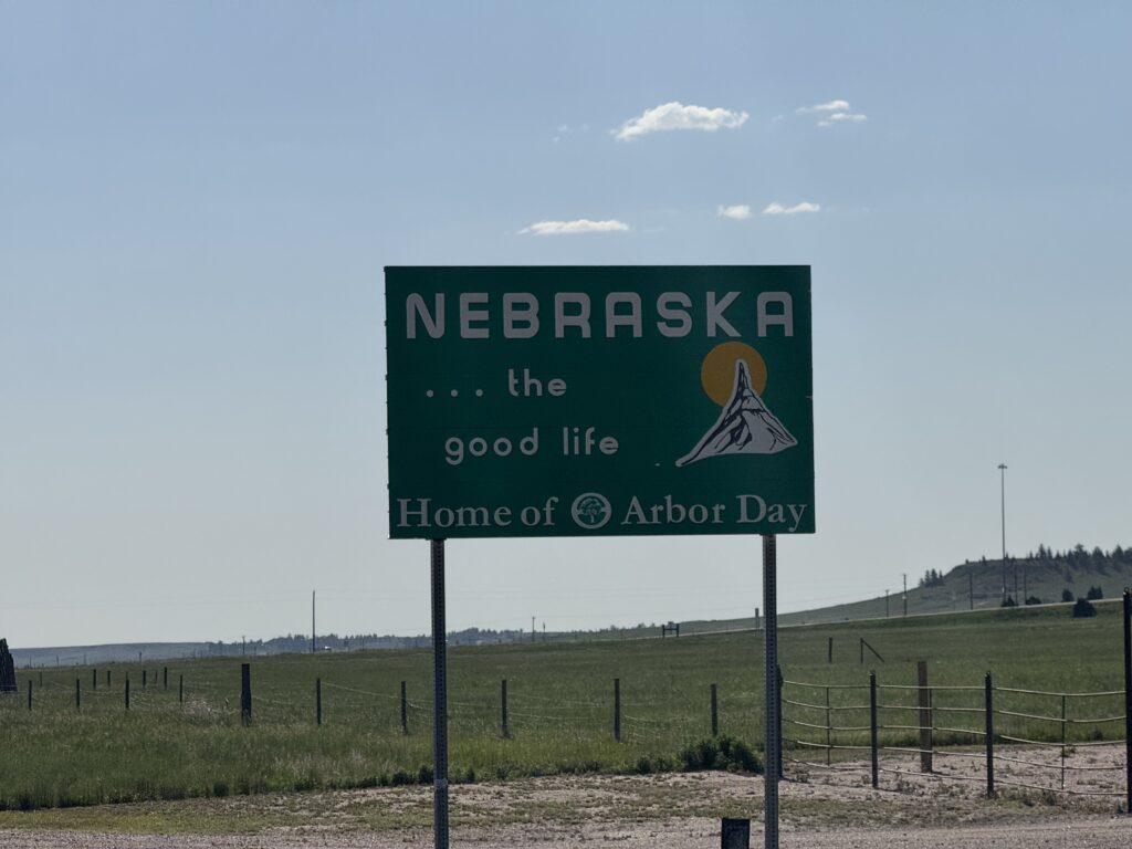
240 miles! This ended up being the longest and hottest day of the trip, and I ended stopping in a different state (Nebraska) than I had planned (Colorado).
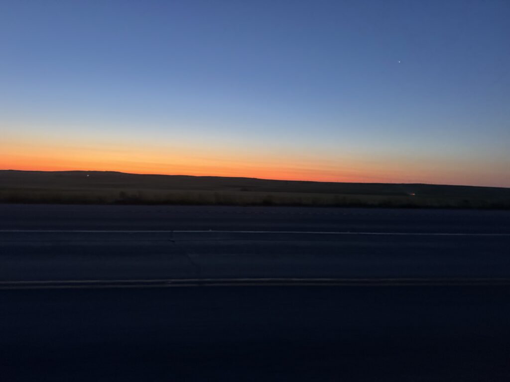
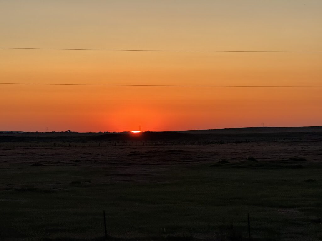
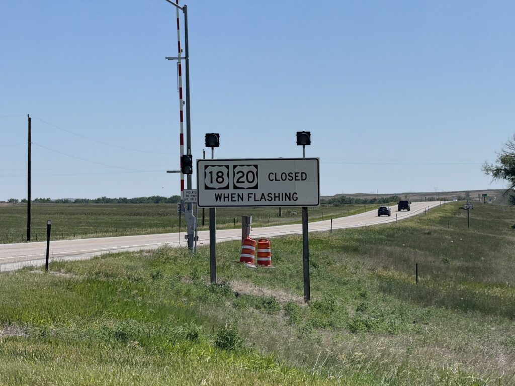
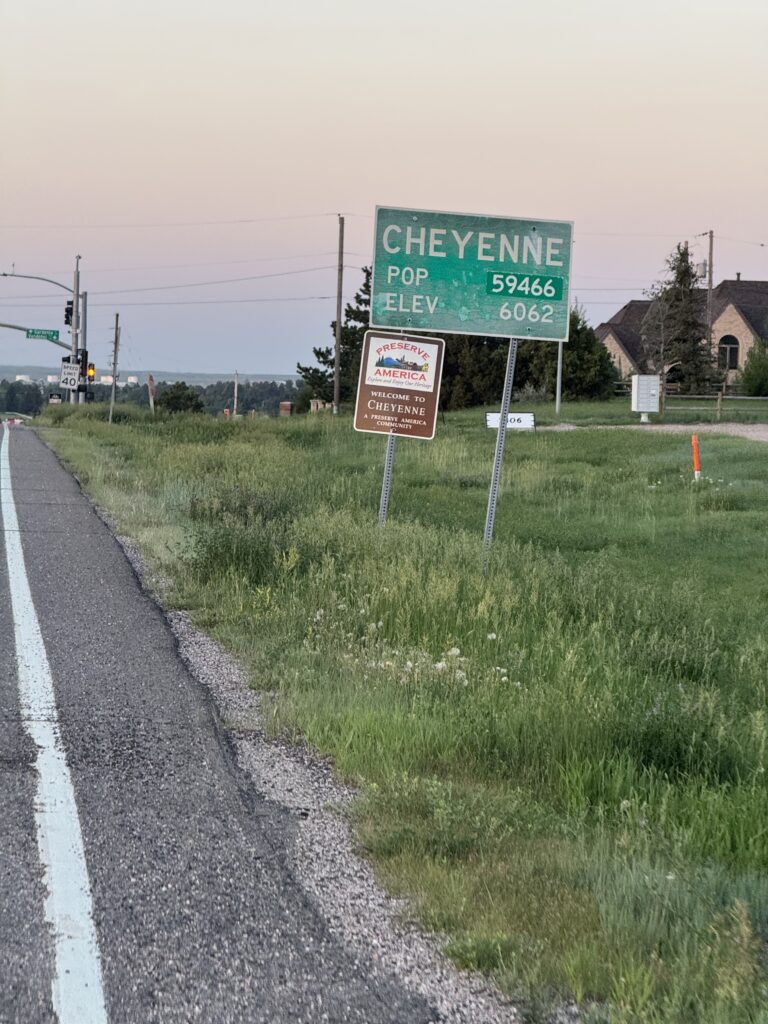
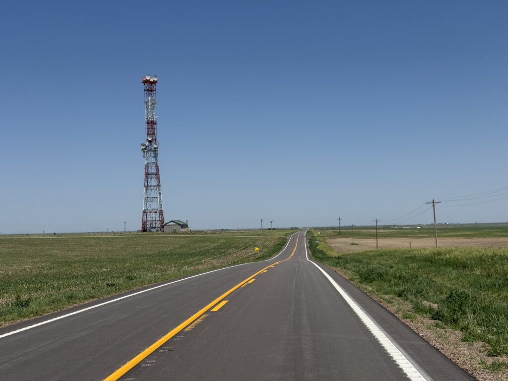
It started with a slow, long night-time brutal headwind climb from Wheatland, WY to a pass just under 7,000 on I-25 before Cheyenne. Pretty much the rest of the ride was a long, gradual descent from Cheyenne to Ogallala. The headwind was strong out of the SSW as I headed SSW. It died down a little bit after I cleared the pass and got closer to sunrise. Also, my route started heading a bit more due south and eventually SSE as I made my way into Cheyenne before sunrise.
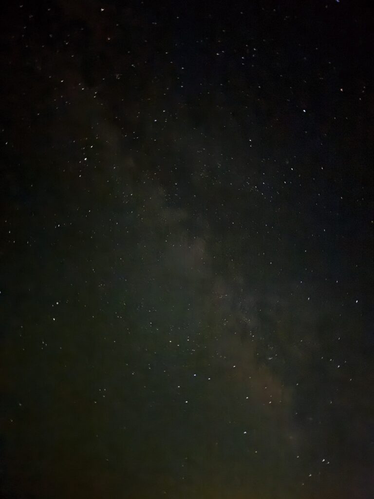
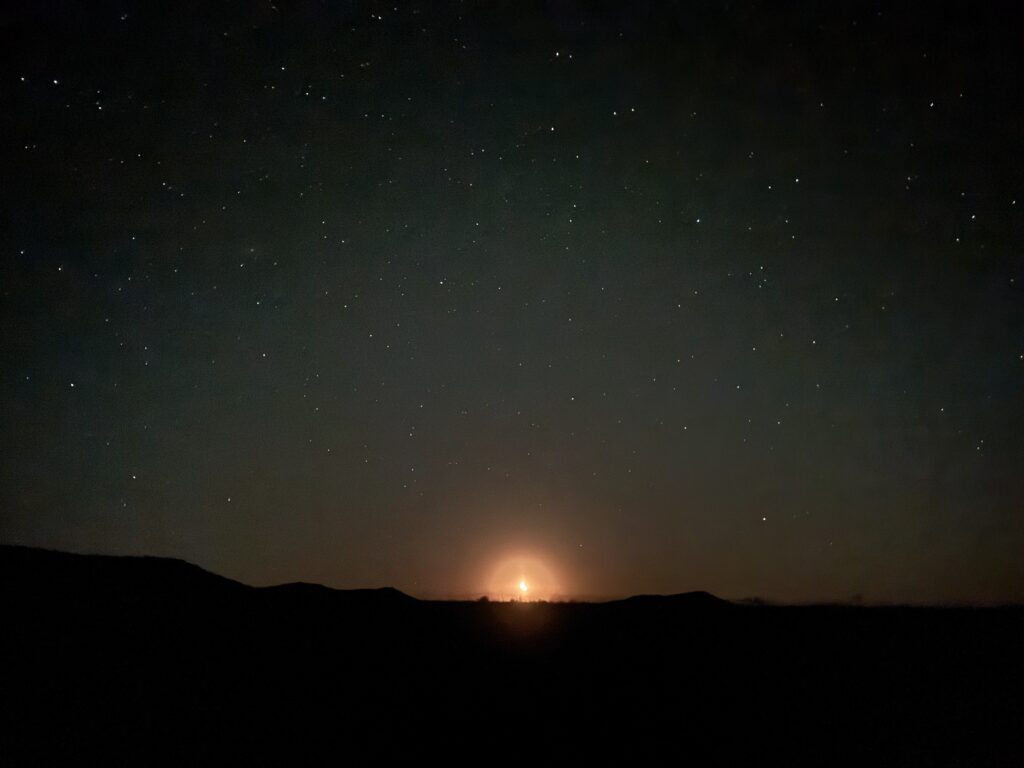
This section of I-25 was quite rural with no light pollution and no moon for part of the night. The stars were absolutely amazing. Also, there wasn’t much traffic, but it was enough to be annoying, especially when the shoulder got bad between a few of the exits. I would always take the exit to get out of the wind (usually a downhill sheltered a bit) and to get out of the 2AM traffic.
Once I got within 25 miles or so of Cheyenne, I left the interstate and was able to take other paved roads into the outskirts of town. It was there that I discovered a species of bird that just sleeps right there in the road. I startled awake numerous ones who would take off from the road right before I would hit them.
After a quick and busy gas station stop at 6am, I made my way into the outskirts of Cheyenne and traffic picked up even more. By this point I had turned due East and noticed that the wind was mostly at my back. This was also against traffic that was mostly heading West into town. I continued on east now alongside I-80 (a whole major interstate farther south than I-90). Thankfully I never had to ride I-80 as I was now far enough east and out of the mountains that there became more and more paved alternatives to the interstate heading in the direction I was heading.
Blown by the wind, major route change
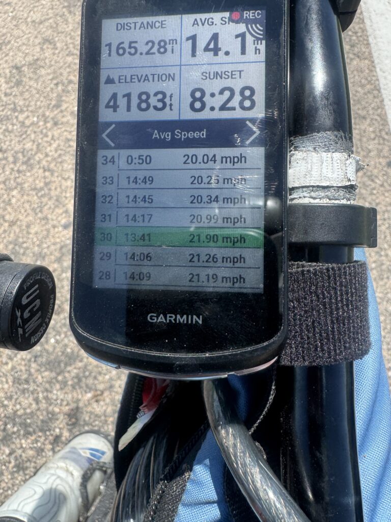
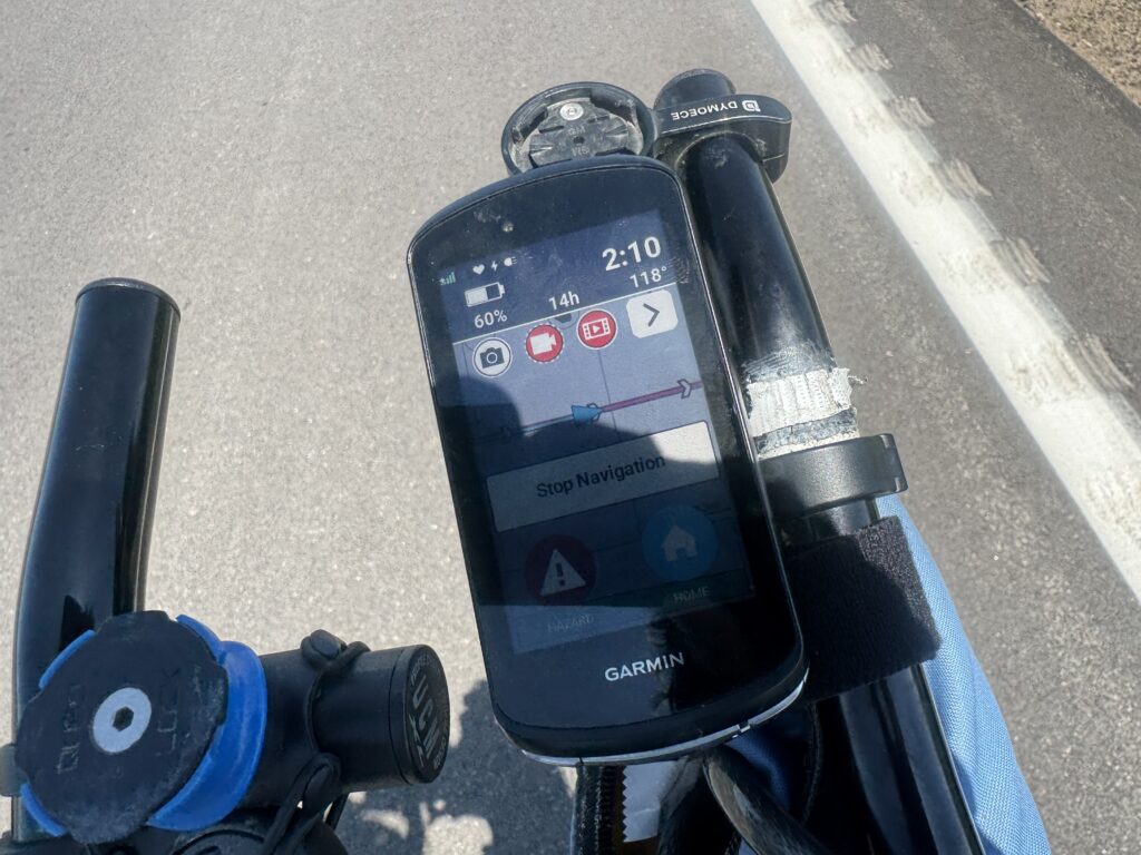
The wind got stronger and stronger as the temperature got higher and higher. At some point late in the day I managed to average well over 20mph for more than 40 miles! It was good because by that point the temperature had climbed up into the 100s with it reading consistently in the 115-118 range on my bike for the last few hours of my ride. The wind was so incredibly strong, I knew that there was no way I was going to turn south and even southwest back into that head/crosswind and decided I would just keep riding East with the wind at my back until I could turn south.
Here’s video from early in the morning in Cheyenne with a jump to later in the morning crossing into Nebraska. Note that it makes it into the upper 90s by 10AM:
This would mean that I would not be able to hit the high point of Oklahoma, nor the tri-state marker located nearby. This makes the THIRD time I have tried and failed to reach the Oklahoma state high point. One of these days I will make it! I figured I would turn south through Kansas and pick up my route again in Eastern Oklahoma. But as it turns out I would not turn south until crossing the Mississippi River into Illinois within a day’s ride of Chicago!
One of the things that helped me through the heat of this day was the people. People would roll up beside me and check on me asking if I was ok. I think they couldn’t believe that somebody would be out riding a bike in such rural areas (US Highway 30) between towns with temperature so hot in the 100s.
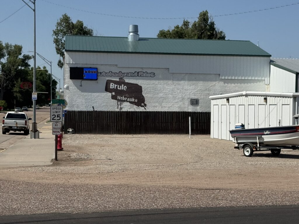
As an interesting side note, I ended up crossing the entire state of Nebraska on the Lincoln Highway (US Highway 30) after joining it at the Nebraska border where it separated itself from I-80 and never rejoined.
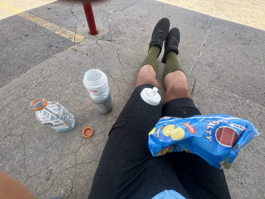
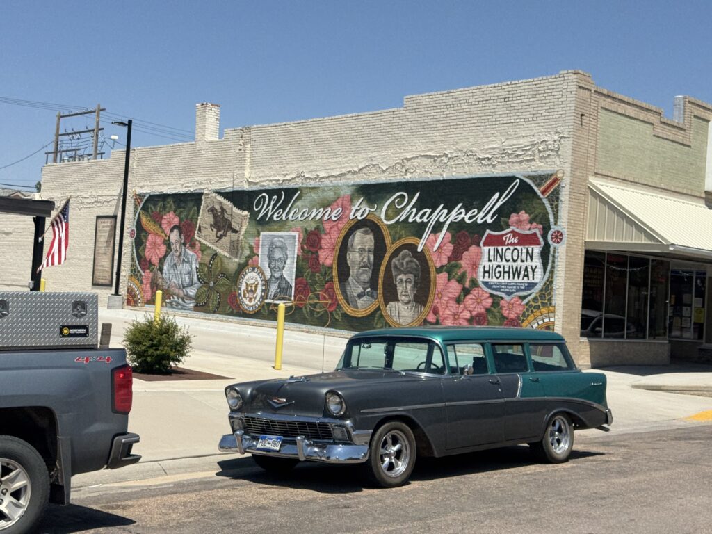
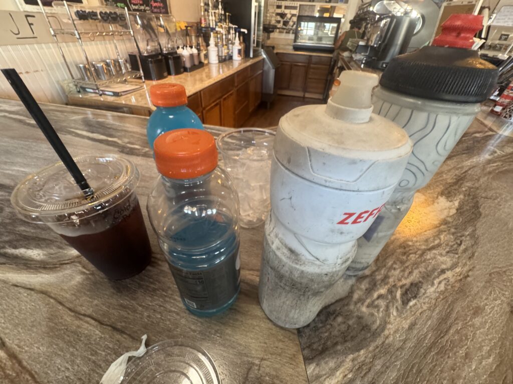
At one of the towns I stopped in, Sidney, Nebraska, I got my coke, bag of salty chips and just sat there eating it on the curb outside the gas station. I had two different people enter the store and bring me back out a bottle of water each they had purchased for me. I must have looked pretty bad, but I was actually deep into a zen state of being. I accepted it even though I probably didn’t need it. I made it to the next town, Chappell, Nebraska, which had a very cool looking coffee shop with bar. By this point, I was getting pretty sleepy, so I thought a nice big iced coffee and free water bottle refills was perfect. And it was, although, I was only able to get out of the heat for a few minutes before they closed.
Still, there is nothing a cyclist loves more than a tailwind. And I was able to fly averaging well over 20mph almost all the way to Ogalla where I made it to the Ogalla gas station before hitting up the very cheap hotel I had booked while riding. As it turns out, I would have quite the adventure trying to take a shower which I will start out with on my third and final recap post sometime hopefully before the end of the year! Here is a video from that HOT and windy section of Western Nebraska:
More pictures and links
I’ve got about 1500 pictures from the trip on my tracking website here:
https://pickuta.com/album/323
And here’s a link to Part 1 of this adventure, and Part 3 should hopefully be here by the end of the year. It was really fun looking back at Part 2 a few months after making it all the way back home.
Leave a Reply