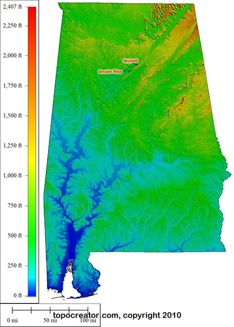
When I was looking at the state map of Alabama that I had made using topocreator, I noticed how you can see that the Smoke Ridge climb is connected to Skyball from the Tour de Cullman. I was inspired to make maps for both my Sunday Adventure to Smoke Rise and also for the Tour de Cullman. Enjoy!
 Topocreator map of the Smoke Rise route with major Alabama mountains annotated. Click the map for a medium version (2MB) or click this link for a really huge detailed version (16MB)
 Tour de Cullman annotated mountains. Click the map for a medium version (3MB) or click this link for a really huge detailed version (12MB)
 Click on the map for a huge (7.2MB) detailed annotated map with a few major Alabama mountains annotated.
Leave a Reply