It has been a very busy start to the semester, so I haven’t been able to ride much. This Saturday afforded the opportunity to go for a long ride, but the weather was not looking great – cold with temps dropping down into the teens and then staying near freezing all day … and very windy.
I decided that after a couple other failed attempts in previous weekends, I really needed to see this ride through. My wife was still up reading on the couch at 11:30pm when I got up to get ready to go, and she commented how loud the wind was … it was quite loud. I put on all my Wisconsin/Minnesota cold winter gear and took off by 1am after making some route changes to account for the wind (starting out with a crosswind, turning into it as it started to die down a bit, and then enjoying a tailwind for the coldest part of the morning, before having to slog it home into another head/crosswind)
Dealing with the Wind – “Plan B Windy”
My route changes aptly named “Plan B Windy”, which you can interpret as “Plan B: Windy” or “Plan Be Windy”, worked pretty well, except the wind ended up coming out of the west and even southwesterly as the sun began to set, meaning that I had a tailwind for parts of the ride where I had been expecting a headwind. Overall, it just wasn’t as windy as expected, even as I was leaving the house, it was gusty up to the top of the mountain and then pretty much swirling light winds by the time the snow flurries started to fall across Old Leeds in Mountain Brook all the way to Trussville!
It did get cold by morning, quite cold with it bottoming out at 18 degF after sunrise. I had a tailwind by this point, so it didn’t feel quite as cold as it normally would with the extra windchill from riding. The only part of my body I struggled with was my toes. I stopped at the first open gas station I came to after it started to get bad and added a pair of “Hot Hands” hand warmers inside my shoes. That seemed to help, but with restricted air flow, that only lasted for a couple hours. The temps had started to warm by this point into the 20s and 30s so I realized I was going to be fine, and I was!
Heading South
I routed myself on familiar roads working my way as far north as Morris before working my way southwest towards Tuscaloosa. Most of these roads were new … but crossing over roads that I ride all the time! It was basically an unusual direction for me to be crossing through this area. It got interesting as I knew what “landmark” roads would be coming up, but I was wondering where I would hit the road and would I recognize it. The answer to those question of recognition was “yes”, but I was always surprised at the exact spot having an “oh, so that’s where this road goes” moment.
This continued all the way down across US-11 down to I-5 (not really I-5, but it might as well be) where I crossed over to AL-25 to head up into Brent and Centerville on familiar roads. I stopped at the Centerville gas station where several people commented it was far too cold to be riding a bike. I agreed as I sipped on coffee while filling up my water bottles with gatorade. Earlier, at the first gas station I had stopped at, I bought a 20 oz gatorade and put it in my water bottle cage as an experiment.
Sure enough, it was still liquid because I hadn’t opened it yet, but as soon as I opened it, it instantly started to turn to slush. I drank quick while I was still riding because I knew there wouldn’t be much more coming out after a few more seconds. I then put it back in the water bottle cage to see if it would stay frozen all day. It did not as I was in the sun quite a bit and the temps got up into the mid 40s. But that worked out well because at some point I needed that gatorade before reaching my final gas station stop.
That final gas station stop (Wilton) was 90 miles after the second one, so I only stopped three times on this ride at miles 64 (Graysville), 140 (Centerville), and 230 (Wilton). That last one was a bit of a stretch going 90 miles, climbing two fire towers, bushwhacking to two separate county high points, with tons of this on dirt roads, a bit of frozen mud, and a bit of not frozen mud, and more bushwacking when Co Rd 8 just flat-out ended near AL-22 whereas my map showed it connecting. Basically all the fun parts of the ride happened here.
Also, I rode through a long stretch of tornado damage from the tornado system way down in the Perry County that landed us with our sixth rescue rabbit, George, who was injured in the Pelham/Hoover tornado from that system and whose owners were nearly a year without a house and could no longer take care of him. This caught me by surprise, but you can tell instantly when you see tornado damage and the approximate “age”. This one was relatively fresh but cleared enough that it was likely from the tornado system over a year ago. I can’t imagine how many trees must have been down on the road as it was just lined with them for a very long stretch.


Maps
These maps are the three southernmost counties I rode through followed by the overall county map showing how this ride really did cover a lot of central “mid” Alabama … love the mid-alabama coonhunters photo down there in the photos!


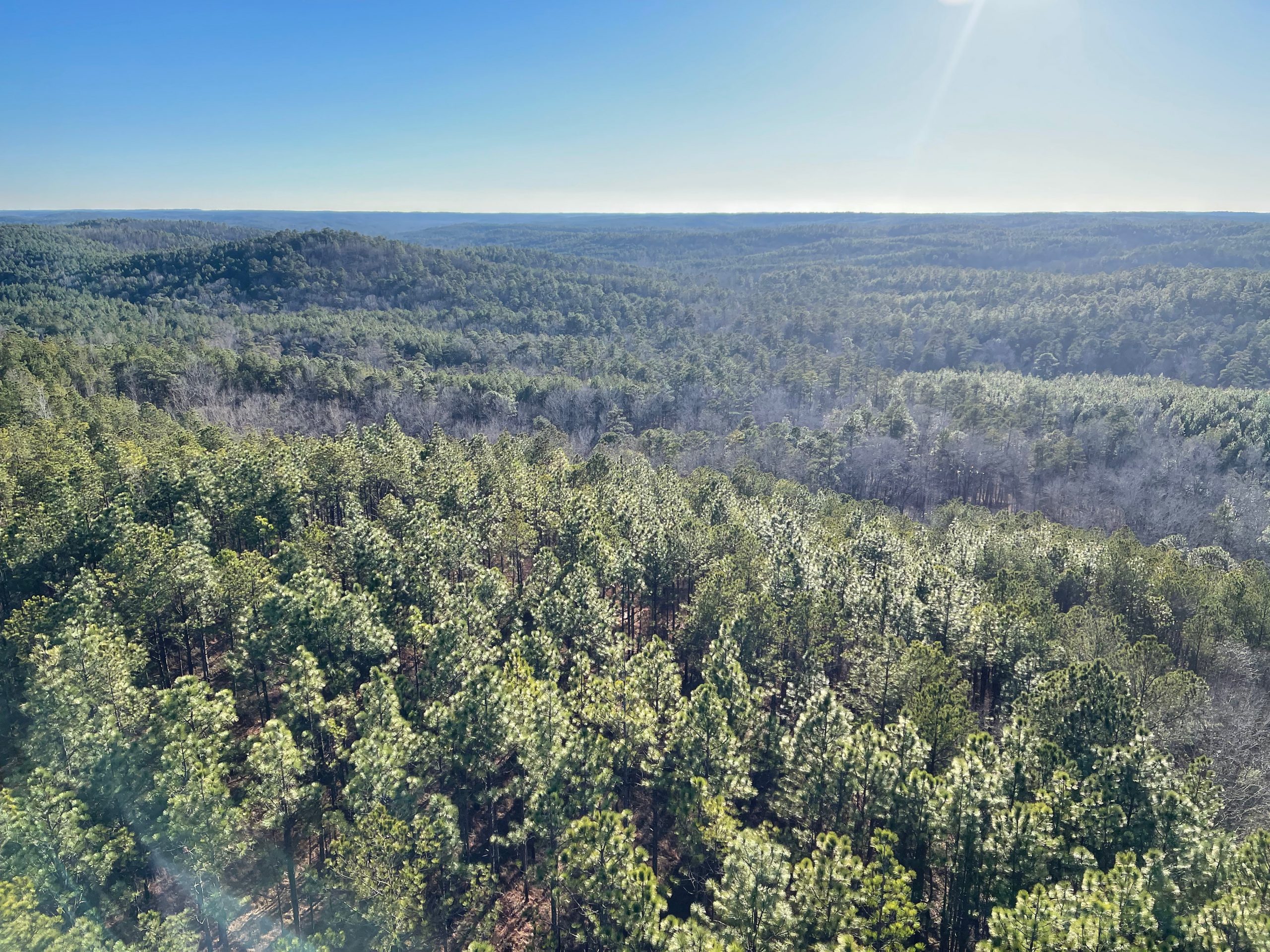
More Photos
And I will caption the rest of the photos to fill in a few more details! These are in reverse chronological order.


Leave a Reply