Super happy with 3rd place (1day 23h 23min) behind 2nd place Chris Joice (1 day 20h 44min) and 1st place Henry Barze (1 day 12h 49min). My wife kindly dropped me off in Heflin which shaved off about 100 miles of the commute to the start. I split the commute into two days (110 miles to Alpharetta followed by 109 miles to Clayton).
The Commute
I really like to ride my bike. And if I have enough time, I will always choose riding over driving in a car somewhere … no matter the distance. TNGA is always the week before classes start at Samford where I teach. It’s been a busy, tiring summer and I had just ridden 600+ miles home from Virginia the weekend before TNGA. So after only three days of recovery from that ride, I asked my wife to drop me off near the Georgia border on Thursday so I could shave off about 100 miles of the ride to the start of the race.
For the first day, I had a hotel booked in Alpharetta making for a relatively easy 110 miles. It would have been very easy except for the extreme heat. I stopped at many gas stations and drank so much gatorade and water that I stayed decently on top of my hydration but it still took about 10 hours just to make it 110 mostly paved miles. A highlight early was stumbling upon and climbing a fire tower on the Alabama side of the border.
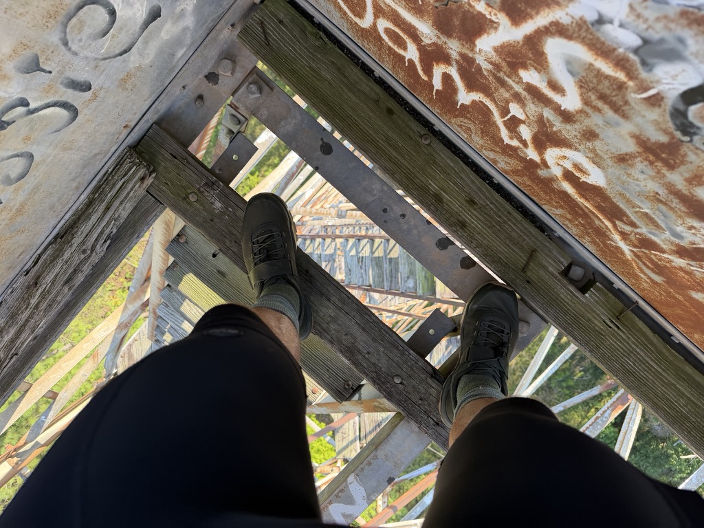
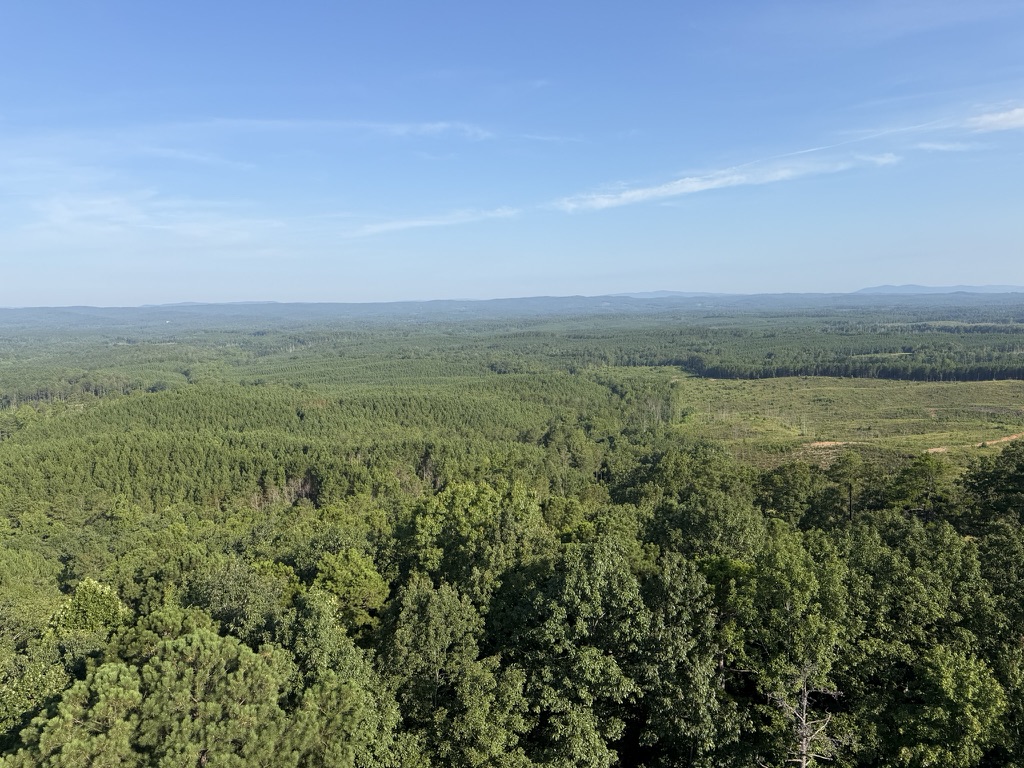
Another highlight much later in the day was navigating through the Atlanta suburbia traffic. I say “highlight” because it really was great to be able to ride at least moderately safely on separate bike paths / sidewalks on extremely busy roads.
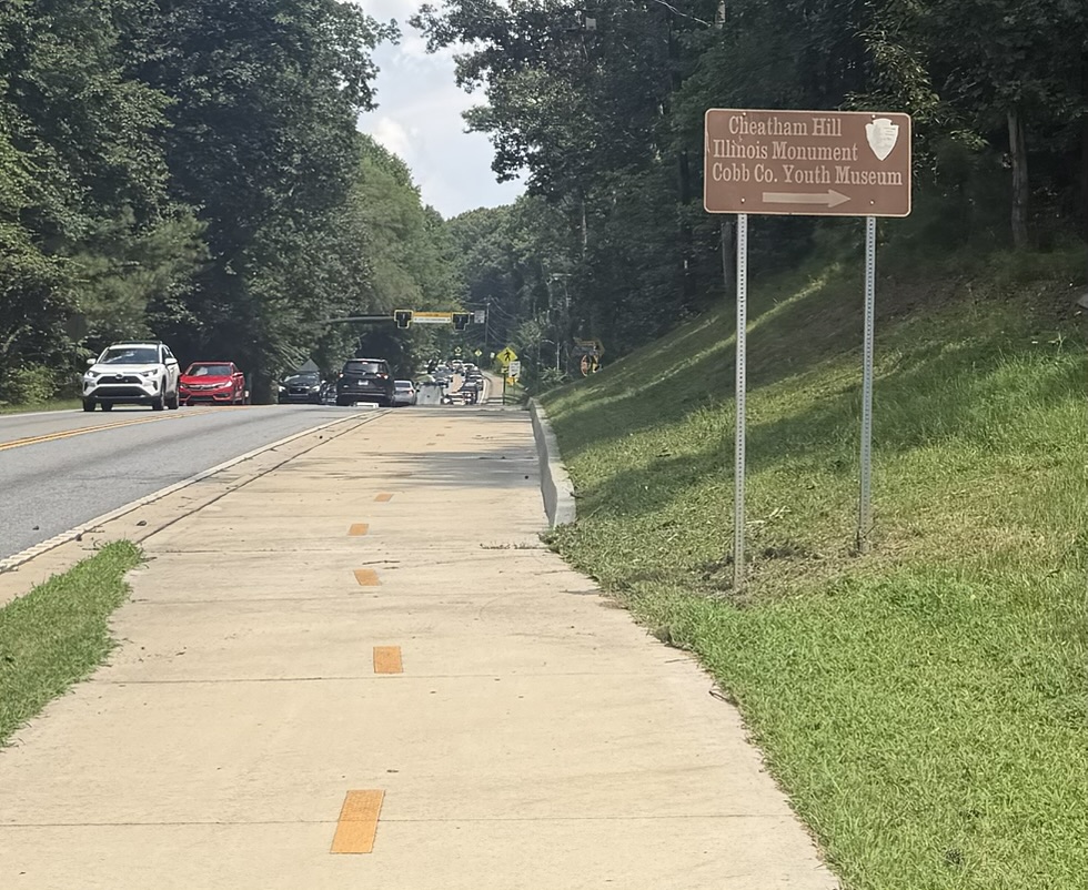
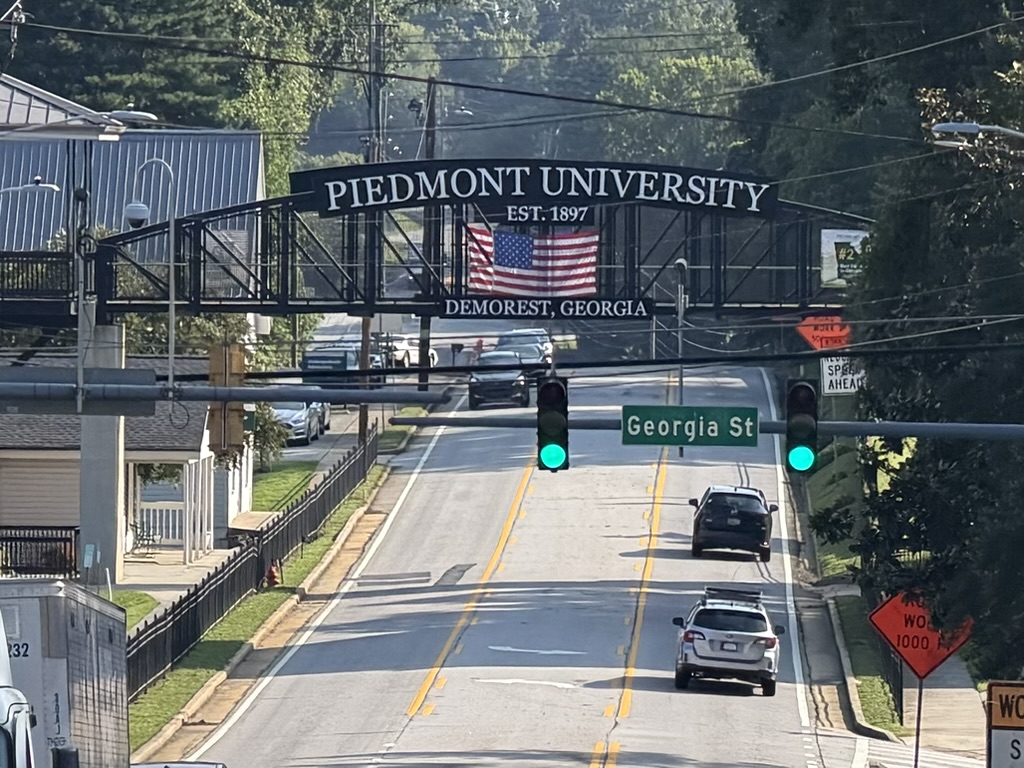
For the second day, I had a slightly longer route planned that would go over Bear Gap near Tallulah Falls instead of having to ride on US-23/441. But it was even hotter than the first day. I was so glad to have started at 3am to make it out of Atlanta traffic and far into the route before it got busy and hot. By the time (9:30am) I made it to where I needed to turn to climb up Bear Gap, it was ridiculously hot, so I opted to cross the Tallulah River on US-23/441 and then take Old US-441 parallel to the main highway wherever I could. As it turns out, I never had to rejoin the main highway! And it was quite scenic with old concrete narrow bridges crossing the Tallulah River in multiple places.
When I made it to Clayton around noon, I had three priorities:
- Laundry
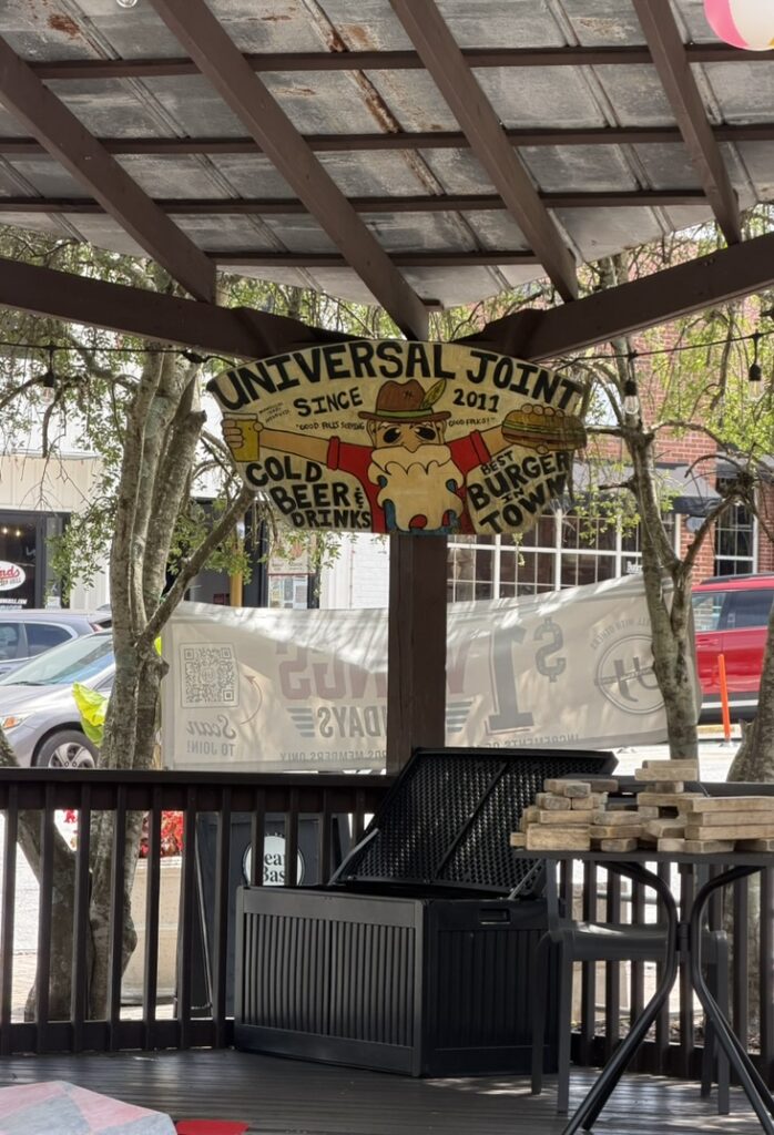
- U-Joint for lunch
- Ingles for groceries for the race
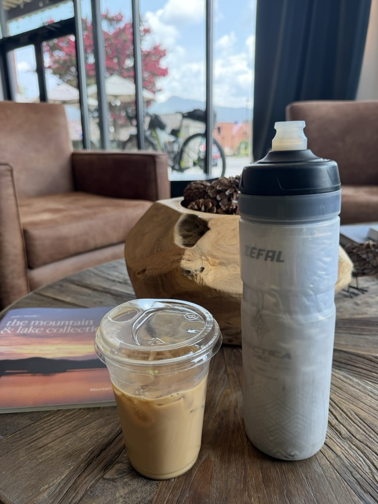
Thankfully, Sudz ‘n Bubbles has a drop-off service and a bathroom where I could change into my spare shorts and sleeveless rain jersey and give them the jersey and bib shorts I was wearing to wash. After that, I crawled my way up the hill to U-Joint where I sweated profusely (even inside) for a while before finally cooling off. After U-Joint, I knew the clothes wouldn’t be ready yet, so I went up the street to the fancy hotel which has a nice coffee bar inside. I sad down in a nice lounge chair area and sipped on my iced coffee while watching it pour down rain outside. This caught me by surprise as I didn’t really have any signs of incoming rain.
It stopped and got sunny again, so I headed across the main highway to Ingles to get food for dinner later that evening as well as food for the race. I also stopped by the gas station in front to verify that they would be open in the morning and had an ice machine. By this time I could see the dark clouds and hear the thunder from another storm about to move in. So I rushed back to the laundromat, picked up my clean clothes, and took off to make it a couple miles south of town where I was staying in an AirBnB.
As it turns out, that AirBnB was up a super street side-street that was probably the steepest thing I had to climb (15+%) the entire trip. I was all checked in and settled in before 5pm. I was excited to have some time to kill and rest as well as do a lot of rearranging on the bike to get things ready for the race. The house was up in the trees and when the storm hit it was cool to hear the rain falling and look out the window out into the tree branches.
Race Day
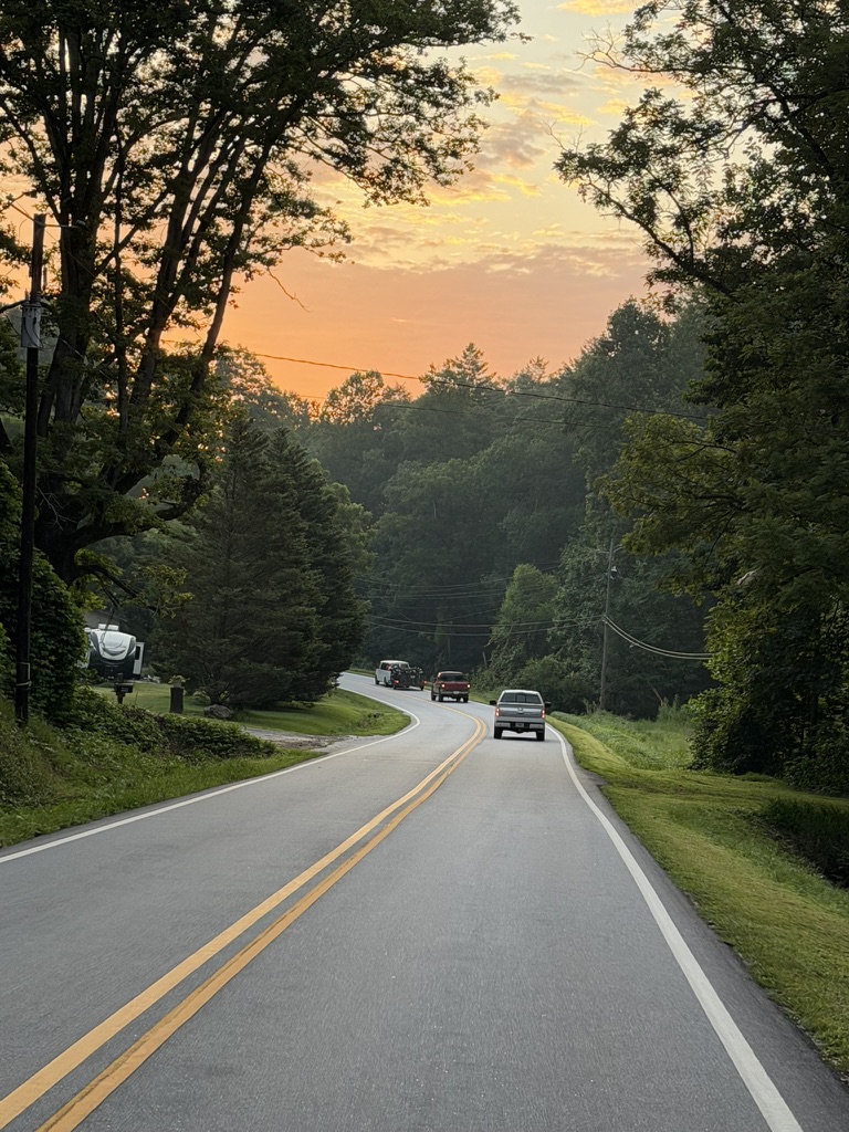
I set my alarm for 5am since the start was still 17 miles from where I was staying in Clayton. I needed to be out the door of my AirBnB by about 6:15am to make a quick stop by the gas station and pedal my way as easy as possible to the start on time. I got ice for my bottles and altogether I think close to 110oz of liquid. I went through about 30oz on the way to the start as I was taking my time and trying to pre-hydrate. After the gas station I went by the Days Inn where most everyone was staying and they already had most of the bikes loaded up on the trailers to take people to the start. I waved at the people at the parking lot and wondered how far along I would be when the convoy passed me. As it turns out I was passed by lots of people the entire length of Warwoman Rd as individuals who were getting dropped off at the start separate from the Mulberry Gap shuttle also were passing me every few minutes.
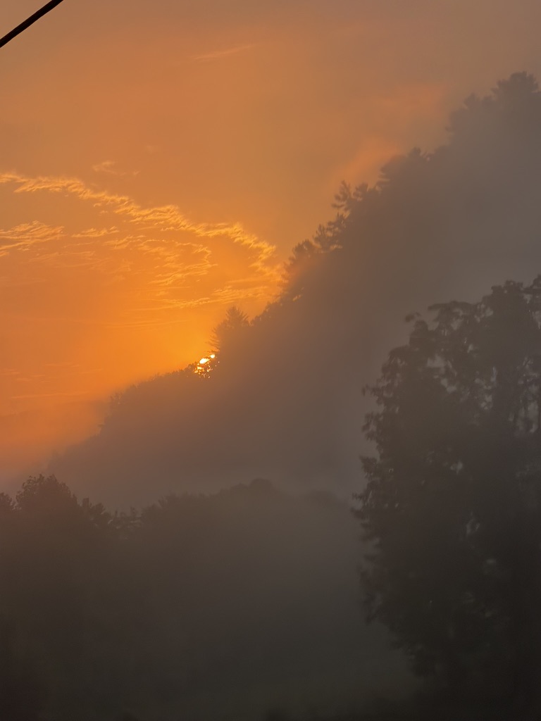
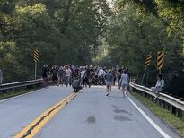
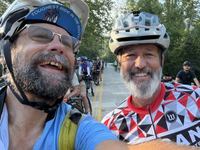
I descended down to the bridge at 7:55am with Honcho already giving final instructions to everyone on the bridge over the Chattooga River which is the border between South Carolina and Georgia. I went to the back far enough across to make sure I got a couple pings inside South Carolina and could be out of the way from everyone to put on some bug spray and then rolled back towards the middle of the bridge for the start taking a selfie with my Birmingham friend Chris Freeman as well as saying hi to a few other people I knew.
The leaders took off quick, but I did not. I drifted backwards trying to keep my effort in check to conserve water. I had a couple problems pretty soon after we hit the dirt (rear light fixture snapped off and my extra water bottle kept falling out). I guess my shakedown rides didn’t “shake” my setup enough. After about 15 miles, I finally figured out a good strap setup that would keep everything in place, but I didn’t really trust it until the second day and would constantly look back to see if it had come loose and was about to fall out. The optimal bike for the TNGA (even the gravel route) is a full suspension, wide tired mountain bike … not a gravel bike. I was on a gravel bike.
The gravel edition continued on up to Sky Valley rather than taking the Darnell Creek horse trails on the OG route. This whole area was new for me, and I loved it. The fast paved descents were a blast, but you were still hard on the brakes into the corners to keep from drifting over since you could not know what was coming around the other side. After merging with the OG route in Dillard, I was by myself for a long time with no idea where everyone else was.
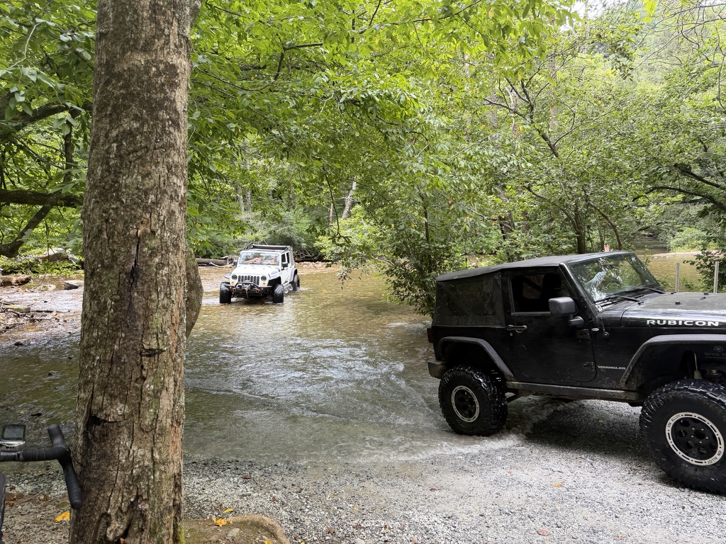
Rhonda and her husband were at the big river crossing with a table of free stuff and bug spray. Trail angels. Lots of jeep traffic both in and out of the river on the long climb and descent. Before making it up to the top, however, it started to pour down rain. It had been thundering and dark for a while but the storm finally grew/moved enough to make it to the course and it dumped. This was some pretty rugged jeep double track and I had to walk a couple of the muddy sections. I made it across the top and couldn’t see anything at all out of my glasses on the descent. This was my first time doing the race since getting progressive lenses and with water/fog all over the glasses I couldn’t make sense of what I was seeing. So I went very slowly down the descent and wondered if I was going to blow through my brake pads halfway through Day 1 of the race.
I eventually rode out of the rain shortly before hitting US-76 and climbing up to the hostel. Three of us came together at the hostel roadside food table. There was somebody already there, and while I was getting some food/drink another rider caught up to us. The owner of the hostel was down by the highway grilling hot dogs, but I settled for a peanut butter jelly sandwich which was so awesome and two bottles of gatorade to get me to the state park just a few miles down the road. I didn’t want to load up with too much stuff since we still had to finish the climb and I didn’t want to have to carry enough liquid to get from the hostel all the way to the Helen gas station.
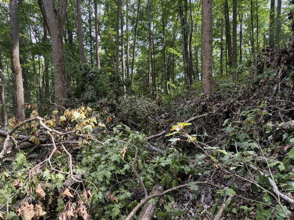
There were a few trees down in the forest service road descent from the highway, but I was happy to make it across all the creek crossings cleanly except for one which just looked sketchy and I walked through it. Compared to my first year racing TNGA when this section was a treefall extravaganza, it was really nice. This forest service road eventually pops out onto paved highway and passes by a state park I’ve never stopped at before. With the excessive heat, I had planned to stop and pick up something cold. But with the rain and now clouds again, the temps were nowhere near as bad as anticipated. I went ahead and stopped and purchased two cold 20 oz gatorades from the state park office just to be sure I stayed on top of hydration.
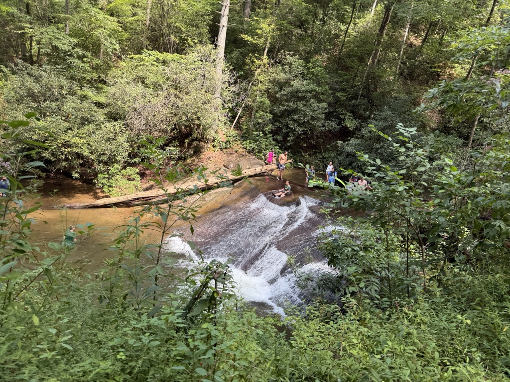
Wildcat was up next, and it was a mess. It was cool to see a bunch of kids who had hiked up from where the forest service road was closed to the sliding rock area and having so much fun in the river. The climb got rougher and rougher, and as I got farther up it I remembered that the road used to be open and that the upper campground spots would have cars/vans in them that I was surprised to see had made it there. The descent down Wildcat was also pretty rough, but at least this time it wasn’t raining and I could see.
Eventually, I popped out onto GA-17 (so many memories from college) very briefly before heading back into the dirt to climb up Tray Mountain. Through here I stopped to refill a bottle from my backpack and Rodney from Ohio caught up to me. I was about done so I quickly caught back up to him and we chatted for a mile or so before he dropped me. Tray Mountain is a long ROUGH climb. If it was pavement, it would be nothing at all even on a loaded bike, but with all the rocks and ruts and concentration required to try to find a “line” and then of course being disappointed with the line chosen, it really wears on you. Still, I just plugged along until I made it to the top.
The National Forest Service forbade us from using the Hickory Nut descent this year which is an abandoned national forest road that has been converted to single track just by usage from locals and from the TNGA event year after year. Our gravel route was never going to use it, but the OG route had to be altered this year to take the same gravel descent we took off of Tray. I was worried that the gravel descent would be the same rough condition as the one we just climbed because it’s basically the same road, but thankfully after only half a mile or so of rough descending, it became much more well maintained and you could fly down it. By the bottom it was pretty much a “no brakes” descent.
Into the first night
I made it to the Helen gas station by about 7:30 pm which is a little bit on the later side as I’ve always done the Hogpen climb in the late heat of the day before sunset cresting either just before or just after sunset while there was still plenty of light to bomb the descent. I realized that it would probably be dark before I even made it to the START of the hogpen climb.
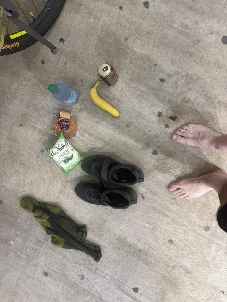
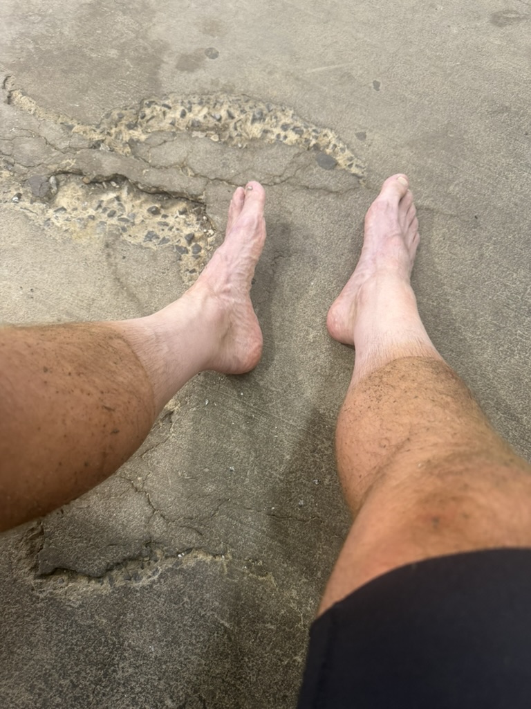
But before that I was going to enjoy my time at the Helen gas station. I had been looking forward to putting on dry socks and taking care of my personal saddle area. I braved the portapotty and all was good. Awesome to be in my barefeet back out on the cement eating a bag of chips and drinking a can of coke. That’s my happy place in any kind of long distance race or touring. I caught up to Rodney there and Matt Mustin and several other riders were still there eating and getting ready for the next part of the race.
A few of the riders left while I was still getting things ready. I left a few minutes later rejuvenated and ready for the night. For me riding this event on a gravel bike, the long stretch of pavement (even if it has two giant climbs in it) is such a relief. I caught up to Tyler Hockstra on the climb and we did the entire climb together. We passed Matt who was taking a break at that first scenic pull out. We made it to the top, and the descent in the dark was fine. Even with my dynamo light, I could see the well marked center of the road quite a ways in the distance so you could see where you needed to brake and how sharp the next turn was going to be.
We made the turn onto the gravel road that cuts over to US-129, did the two creek crossings (Tyler managed to ratchet his way across without getting his feet wet, but I didn’t have enough momentum and had to do a full pedal stroke soaking both of my feet … ugh!). The climb up to US-129 seems endless and eventually turned to pavement. I needed to grab some food and refill a bottle from my backpack so we stopped at the US-129 stop sign. During that time, Matt and one other rider from the gas station caught up to us, so it was like a gas station reunion at the US-129 stop sign.
Tyler and I left first and started up the climb, but he was struggling a bit. Matt and the other rider (Jesse Davis?) went on ahead of us. Tyler needed to stop and I told him I would roll on b/c I was going to stop at the transition from pavement to dirt to take off my rear light which I had mounted sideways after braking the original setup I had and refill my bottles. At the top of Wolf Pen there was another big cache of water for TNGA riders. I again had bought so much at the gas station that I didn’t need any knowing that Cooper’s Creek store was only about 2 more miles of climbing and 15 miles of descending away. The climb was fine, but again much rougher than I remember it. The descent was awful in the dark. I always remember that descent as one that you could kinda let go on in a few places (even in the dark) but I never felt like that this year. It just seemed much more heavily rutted and rocky this year. Also, I have done this in the past on a full suspension bike instead of a gravel bike so perhaps that is the difference.
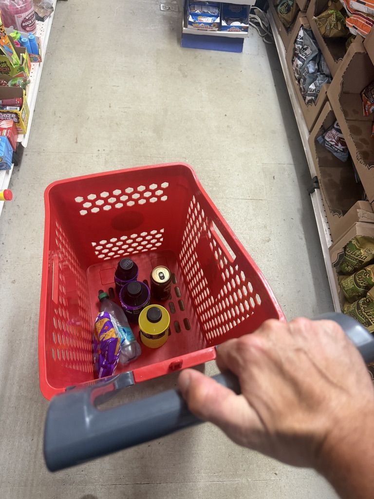
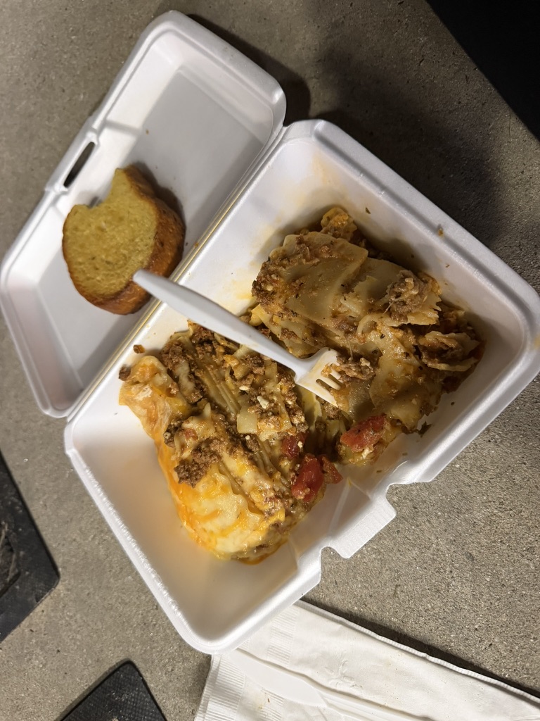
Coopers Creek was really hopping with racers and community members and of course the store workers/owners. It was 1:35am when I rolled in. I got a shopping cart full of stuff and also ordered lasagna when asked if I wanted anything hot at checkout. The clerk said that’s pretty much what everybody is getting, and it was amazing! It was too much food for me, though, so I gave half of it to Blake Briscoe who was chilling there on the concrete with me (again my happy place in these events is concrete with my socks off). I stayed there for almost an hour and a half hitting up the bathroom a couple times to take care of personal hygiene stuff. I also got an espresso can to take with me for when I inevitably would get sleepy later.
Tyler told me he was going to sleep for a bit. In fact, everyone I was with stopped to sleep there since there were cots. I was still wide awake and ready to ride through the night. I headed out into the dark. We were on paved roads and smaller country/gravel/sometimes dirt roads through Iron River and instead of doing Stanley Gap into Cherry Log, we stayed on a paved road all the way up and over a smaller shoulder of that mountain before dropping down.
I stopped at the Cherry Log community center to use the hose to clean off my bike. I debated refilling one of my empty bottles with the hose water, but I gambled that I had more than enough water to get me through the night as long as Mountainside Market was indeed open. Plus, I planned to get a coke and/or gatorade from the vending machine at the Ironside cafe, but the vending machine wouldn’t take any of my cache. Still, I think I had one full bottle of gatorade left when I rolled into Mountainside Market at the bottom of the climb up into the Cohuttas at sunrise.
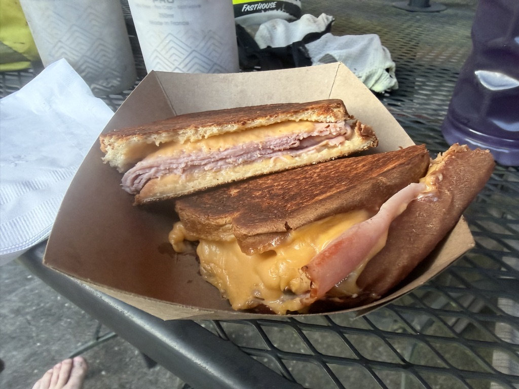
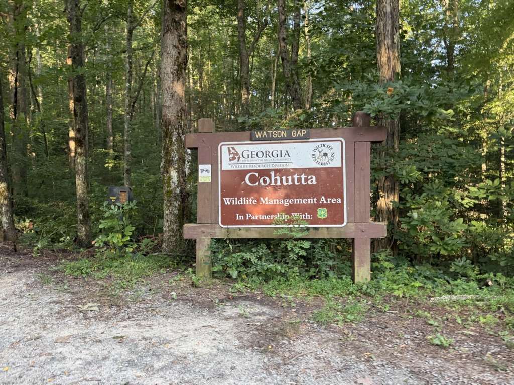
To my surprise, the store was open and I could hear/smell somebody cooking inside. I went in and the friendly owner was there and made me a grilled ham/cheese sandwich that was so perfect. I also resupplied from the store for the next leg. I was worried because it was getting hot, and I figured I had enough to get to Ramhurst past Mulberry Gap but could stop at Mulberry if I was running really low, especially since we were skipping the first technical sections of the Pinhoti on the gravel route and just doing the gravel descent all the way down.
I saw a bear while I was coming down that gravel descent. I came around a corner and saw a medium sized bear lumber across the road quickly to get out of the way. At the bottom of the descent, you were rewarded with a steep climb (ugh) up and over to the road that climbs up to Mulberry. I started seeing more people in bikes including some families, and it was great to smile and see them having fun together. At the top of the official Mulberry Gap, I decided I had enough water so I bombed down past the cabins and continued on out to the paved roads winding the way around to Ramhurst. I had planned at stopping at the gas stations at the big highway but on this route, there was a gas station I didn’t know about on one of the smaller roads. I stopped there because it was getting ridiculously hot so I wanted to get ice for my bottles and get enough fluid to make it across the valley without having to stop again before the hotel.
Yes, by this point I knew that I was going to stop at a hotel where I could do laundry (Holiday Inn Express). The clerk asked me when I got there “Are you OK?” Yes, just hot, tired, and sleepy. Everything went smoothly at the hotel and I was able to get my electronics charged and clothes washed, and two and half good solid hours of sleep in air conditioning. I woke up before my alarm went off. I wanted to leave early enough that I could make it to the Villanow gas station before they closed for the night.
Into the second night
Rejuvenated, I headed out to climb up Dug Gap just before sunset, excited that our entire gravel route would be skipping The Snake, a 30ish mile rugged rocky section of the Pinhotti Trail that is full of hike-a-bike and climbing and descending along the top of a ridge line that “snakes” back and forth.
When dropping down from Dug Gap, I had a fun meet-up with a guy and two girls all on an ATV who caught up to me and he asked if I was doing the 350. I told him I was just doing the gravel route, and he told me he was going to be doing the full 350 route next year. It was fun to chat briefly, he wished me good luck and turned into the driveway of one of the many farm houses (or at least big lots) I was passing.
The gravel route stayed on pavement for many miles and even included an extra gas station at Villanow. I made it there before they closed, and got 80oz of gatorade plus another espresso can for later. I figured this would surely get me across the portions of Taylor’s Ridge we had to do plus the infinitely long and frustrating Simms Mountain rails-to-trail “adventure” (more on that in a minute).
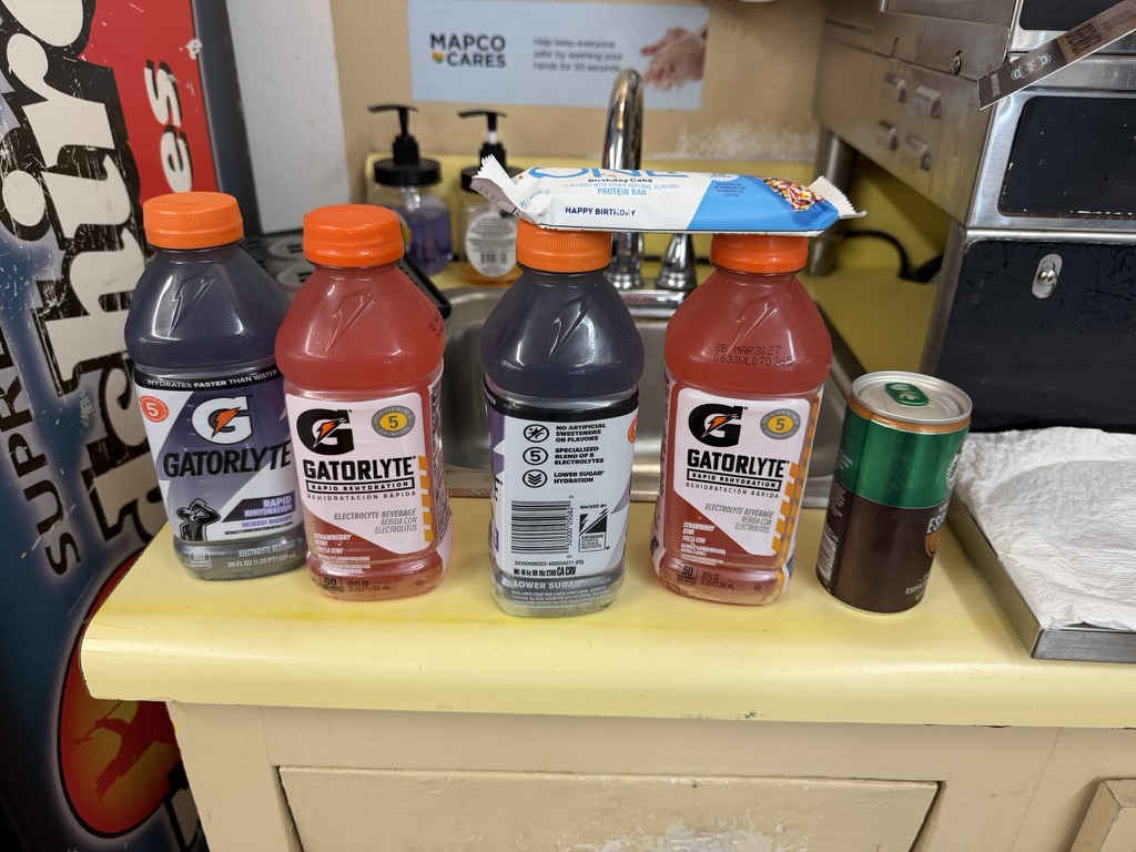
And it did! For the first time ever I wasn’t completely out of fluid at the US-27 intersection so I didn’t have to do the 2 mile descent off course down to Gore, which is good because it was also middle of the night with both gas stations closed. Also, there was big cache of gallons of water for us TNGA racers there at the intersection. Again, I didn’t take any because I had lugged so much with me from Villanow, but it was good to see it there. I appreciate the extra train angel turnout this year given the extreme heat!
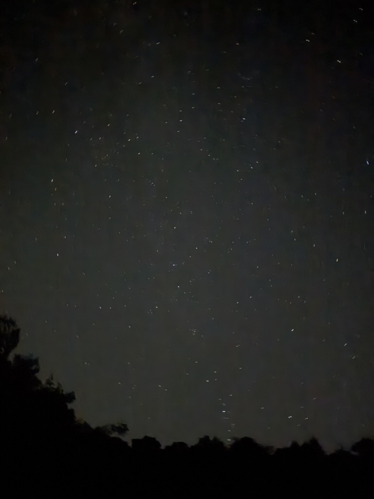
So I’m just standing there taking pictures of the night sky, listening to some music and taking it all in when all of a sudden I see a bike light approaching from the climb up Gore! It was second place overall Synjen Marrocco who had been riding with eventual winner Gordon Wadsworth but had gotten sleepy and needed to find a place to sleep. So he had dropped down to Gore for a couple hours and was making his way back onto the course.
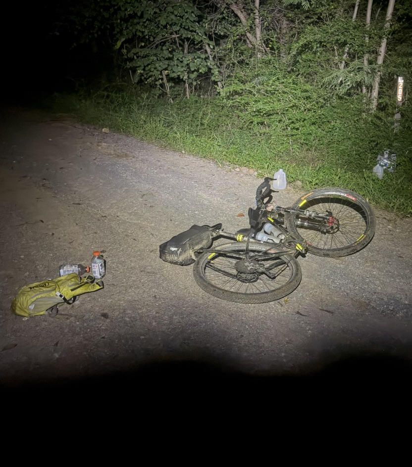
I was ready to go so I took off with him even though I knew he would be splitting off from me to climb up to the tower and the Pinhotti trail whereas we were staying straight on a new-to-me gravel road. I showed him where the split climb was, and looked down at my Garmin and said “thank God I am going straight, but you got this, you are going to do great!” as he started the steep climb.
I continued climbing at a much gentler pace before entering more rolling terrain alongside the ridge. There was still a lot of steep climbing and descending but at least there was no technical trail navigation on top of that. Unfortunately the gravel road was actually closed and “under construction” so it had been grated into soft dirt. This made it pretty soft and extra resistance riding, but at least it wasn’t muddy. This would have been a disaster in the rain as far as I can tell. I’m curious if any of the later gravel racers had to ride through it in the rain and whether it turned into peanut butter mud.
Eventually our route merged at the spot where the Pinhotti briefly joins that gravel road before diving back off to the left. Unfortunately a huge tree had fallen over the entrance to the trail! I knew from my Garmin I was supposed to go left but it took a couple minutes to find where people had made a path to the right of the fallen tree.
The singletrack drop off Taylor’s Ridge took forever, but I let out a hoot when I made that final drop down onto GA-100. The gravel route gets to ride the pavement for half a mile or so whereas the OG route has to go straight across to the new singletrack connecting to the rails-to-trail. This is not a typical “rails-to-trail”. It’s perfect for TNGA as it’s overgrown, mostly unmarked, and tricky to ride. Still, it wasn’t as terrible as it has been in the past, and I didn’t get chased by the first set of dogs. I did get chased by the infamous German shepherd and a new friend it must have made after the first 6.5 miles of “rails-to-trail”.
It helped that Chris Joice had just come through here about 2 hours earlier so I could see his marks in the tall grass at the spots where I would normally have to slow down and think for a second which “straight line” to follow was the actual railroad grade. Also, the nasty rocks from one section seemed to have been washed out or covered in dirt over the years. After what seemed like an eternity, my Garmin told me I could finally make the hard right turn off the trail which meant that it would only be a couple more miles to Coosa with its 24 hour gas station!
A broken cable to the finish
I took my sweet time at that gas station, and it was awesome to let my feet dry out on the concrete while eating some chips and having a coffee energy drink and then put on dry thick socks for the last 30 miles. I didn’t want to stay too long as morning traffic was starting to pick up even before 5am.
Plenty of food and drink to make it to the end, but what I didn’t realize is how much mud was still left in the race. The OG route got to ride the fun section of the Pinhotti whereas we had to make our way over to Santa Claus dirt road and do a climb up that past some houses. On the downhill in the dark I managed to run into a few of the mud puddles I didn’t see in time. No big deal, the mud flung off pretty quickly.
But on Esom Hill Rd, I goofed up a line (in the pre-dawn light) and found myself bogging down into the mud so I panic shifted up a few gears quickly and while the derailleur did shift and I was able to make it out of the mud, only a couple seconds later when I went to shift again, the cable snapped and my chain dropped down into the hardest gear.
I knew that there was nothing really steep left in the race so I figured I could just pedal slowly and weave my way up the rest of Esom Hill, which I did, but one of the next hills on pavement was just too much. So I decided to walk it when I ran out of momentum. Then on another gravel hill, I was too tired to turn the gear and decided to walk it, too. I did make it up one hill … the hill before the crazy dog house … which we weren’t supposed to be on! I was concentrating hard on carrying speed up hills so that I wouldn’t have to walk again and didn’t realize that my Garmin had beeped at me to make a turn. I made it to the top of the hill and saw the infamous porch of that house where so many dogs live and come out to chase you to the finish on the old course. I knew we weren’t supposed to go that way so I looked down and saw I was off course. Thankfully I recognized it soon enough and was going very slow cresting the hill so that I could very quietly turn around and make my way back down to the turn I missed. Ironically, there was a dog waiting for me at the turn but it wasn’t the same breed and he didn’t even bark at me just looked at me and trotted up the hill towards the dog house.
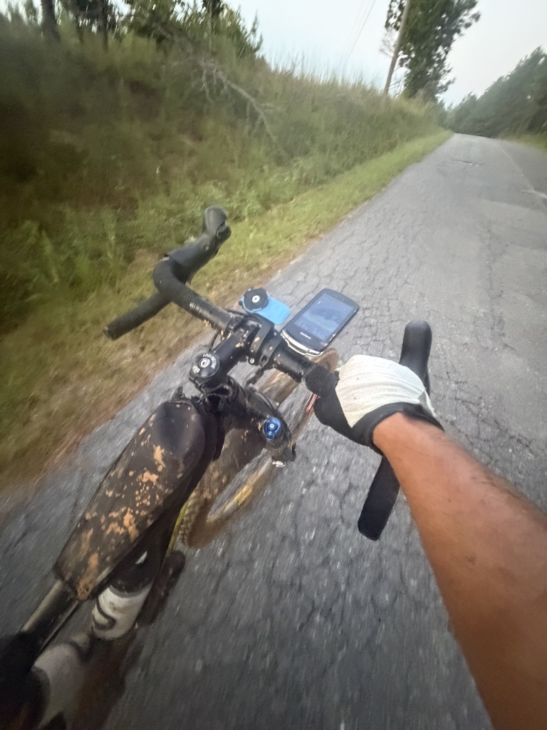
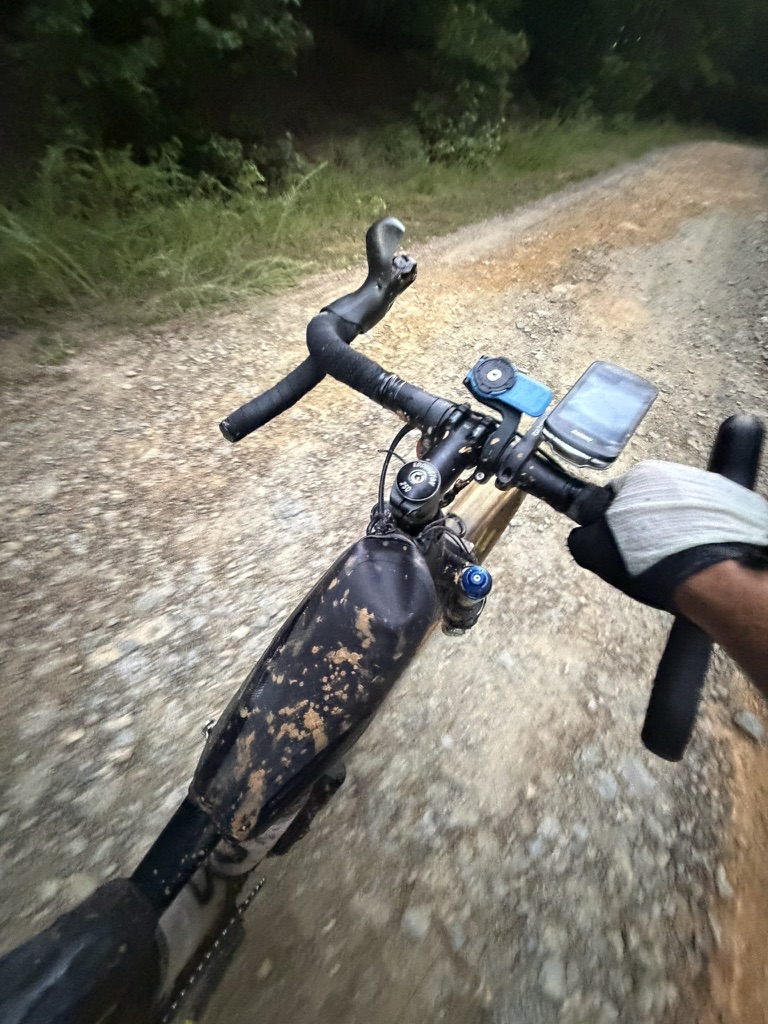
Also, ironically, I had a spare shifter cable, but I figured a few minutes of walking would still be a lot faster than time it would take me to swap out the cable. And I still think this was the correct decision. Perhaps I could have gotten lucky and gotten it fixed in just a few minutes, but if I didn’t, then I would have wasted a lot of time and still had to singlespeed it to the finish. Last year, coming back from Canada, my derailleur cable broke and I was able to replace it on a park bench in Coaling outside Tuscaloosa – but it took me an hour to get the pieces out and also to figure out how it went back together.
I carefully made the turn onto US-278 wanting to carry some momentum but also knowing how fast cars fly through there. A quick left-right and I was on the Silver Comet with a mile to go! I recognized the Esom Hill trailhead and parking lot and could see the finishing arch marking the Alabama border and what looked at first like a big dog standing there. As it turns out, it was Chris Joice laying down with one knee up in the air taking a nap almost literally on the finish line. It was great to chat with him and reflect for a few minutes on the highs/lows of the gravel route. Henry Barze had taken the win just after sunset the day before having powered through the afternoon heat. Huge shout/out kudos to him as that heat was unbearable for us mortals!
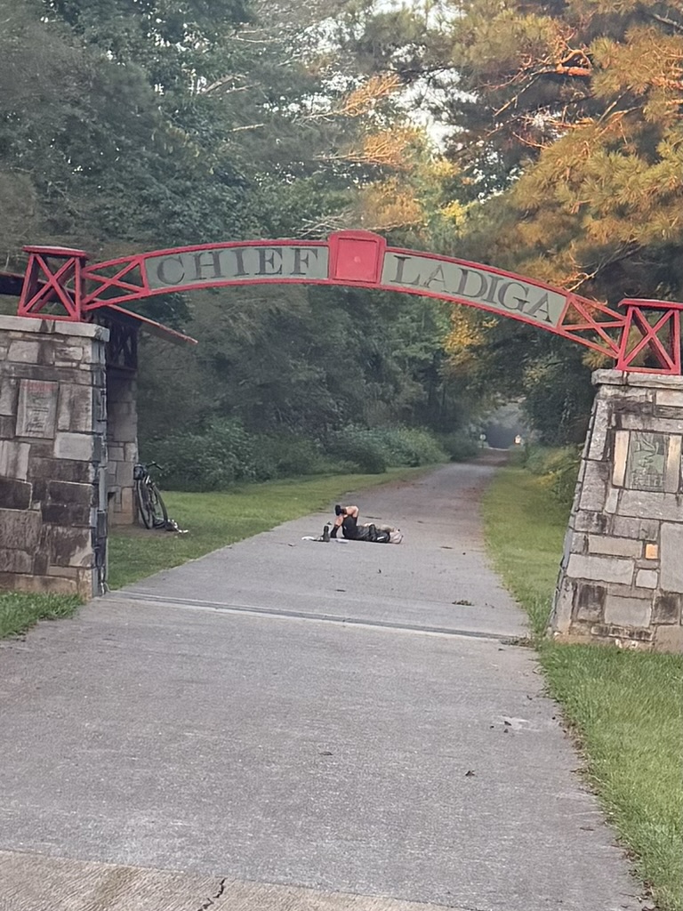
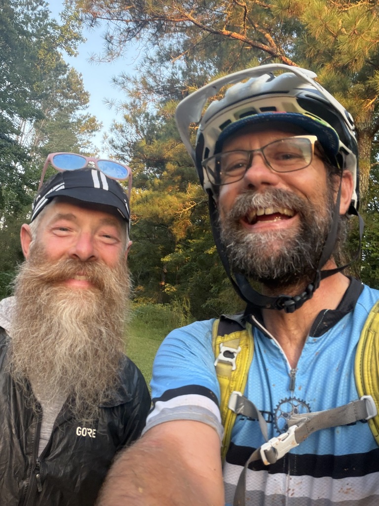
After finishing with a broken shifter cable and the day becoming hot very quickly, I called my son who hasn’t started the fall semester yet and he left Birmingham to meet me as I single-speeded my way along the rails-to-trail. We ended up intersecting at the old Weaver trailhead, and I was thankful to wrap up a 610 mile adventure with a car ride home chatting with my son about the race and his most recent hiking adventure in Norway.
Maps and Data
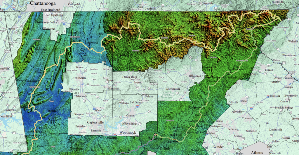
I’ve created an interactive topo/overlay map you can mess around if you want to see a heatmap topo map isolated only to counties I rode in during this 611 mile adventure. Click the image below to jump to one of my research project websites:


Leave a Reply