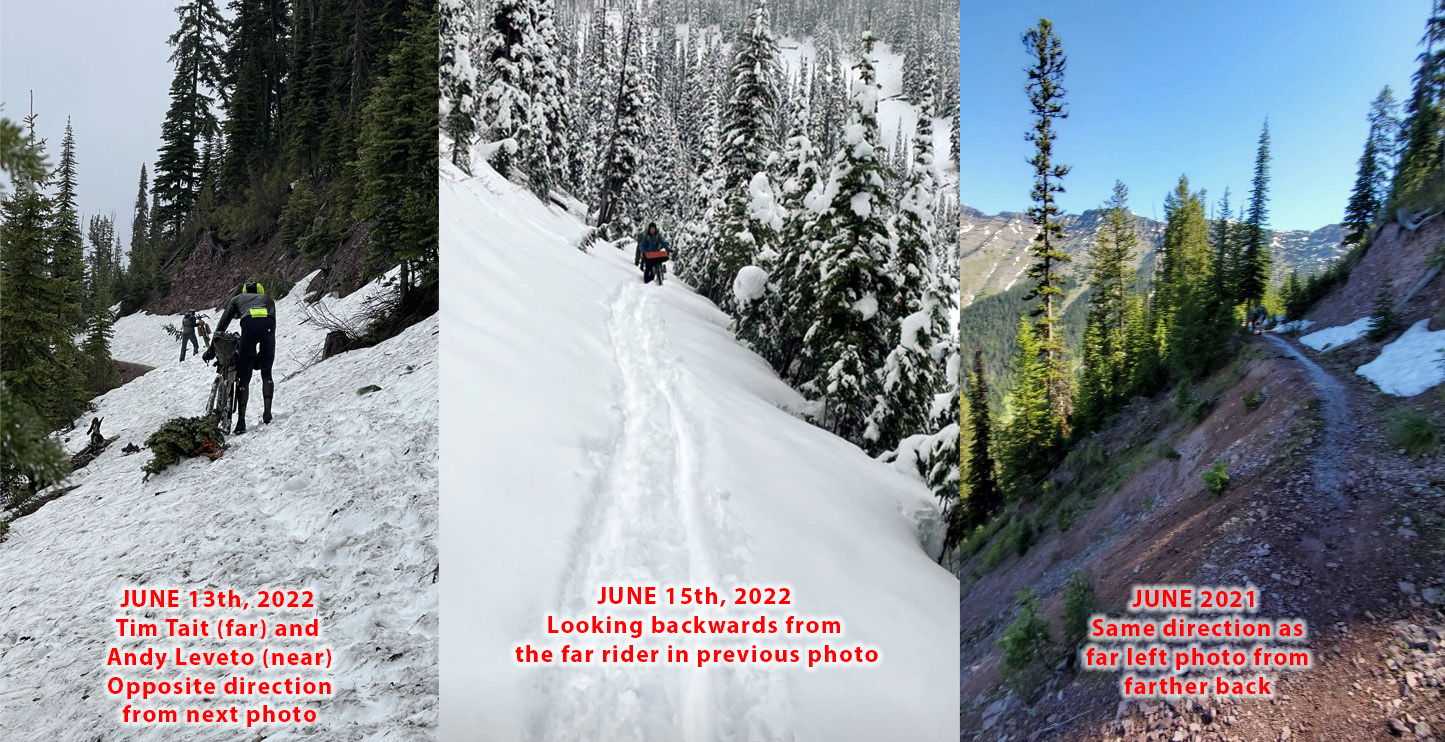
Don’t fall. The collage pic at the top of the post is a side-by-side comparison from June 13th when I crossed, from June 15th when David Landis crossed a couple days behind me immediately after the winter storm, and from June 11th 2021 one year ago when my friend Michael Rasch crossed the same stretch (Richmond Peak) during last year’s race. Here is a pic from that same spot from 2011 when the unofficial race director made the decision to re-route everyone ahead of the start around all of the high passes in Canada, Montana, and Wyoming, but one rider, Justin Simoni, decided to take snowshoes with him and do the original route. He fell and slid hundreds of feet down that slope when he reached Richmond Peak. The snow levels we saw this year were less, but still probably on border-line re-route conditions. That 2011 year has become known as the “snowmageddon” year with snow depth of 120 inches (that’s 10 feet, folks) on June 1st at Togwotee Pass, nearly twice the depth of a “heavy snow” year, including 2022 which saw 60 inches at that same pass, which definitely made this a “heavy snow” year. Here are the re-routes from 2011: http://tourdivide.org/TD11_detours
From rain to snow to sun to wind
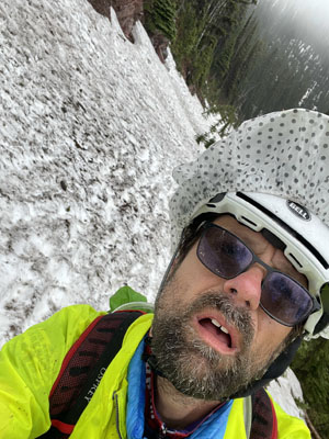
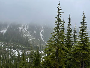
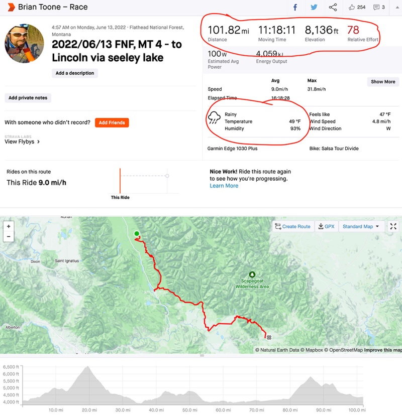
Upper 40s and raining as I left the Montana Hilton I had been sleeping in for two hours in Flathead National Forest. Not too long into this, Tim Tait caught up to me. I was surprised as I thought he was long gone, but as it turns out he had been sleeping in a different Montana Hilton at the same campground! Apparently, I had gotten an earlier start. We climbed up Richmond together and caught another rider as the rain started to mix with sleet and even a few snow flurries below Richmond Peak, where the narrow route traversed across a series of avalanche slide areas. The snow was deep and wet, but it turned into a mostly muddy partially rideable descent across the top and then to a faster but still wet descent. Tim and the other rider had long dropped me in the snow (hiking through snow in sandals is not easy). This took me to nearly the breaking point in terms of cold as I was completely soaked through three layers of clothing I had on.
At some point during the long descent, the road kicked back up and lo and behold the sun came out. (See video to left). I stopped instantly for two reasons: 1) the SUN was out and I was so cold 2) my Garmin showed an off-course message. I was so cold, but the sun felt warm so I just stood there enjoying the sun and also trying to figure out why I was “off course”. As it turns out, I had missed a singletrack turn that used to be the main route down prior to the current road I was on being built during logging as there were nowhere near as many trees as shown in the satellite. See satellite below …

In any case, once I realized my mistake I back-tracked and found well hidden entrance to the old singletrack. A little ways down, a rider caught up to me at a tree navigation spot where I had decided to park my bike and change out of some of the wet clothes into one last layer I had stuffed in my backpack (a down vest) that was for emergencies only. The rider mentioned how he was scratching in Seeley Lake because this was just ridiculous (or something along those lines). I agreed with him, and told him I was also going off course to Seeley to buy more clothes if I could find any, but encouraged him to take a break and re-assess at Seeley. I don’t know who it was for sure, but I think they did scratch.
Somewhat warmer and rejuvenated, I headed on and was quickly dropped by the rider who was going to scratch. It was tough making that decision to turn right and drop 2 miles off the mountain down into Seeley knowing I’d have 2 extra miles to climb yielding 4 total “bonus miles”. But I didn’t have a lot of choice as I knew I could not continue coming so close to being “over the edge” with hypothermia.
It was a great decision. My first stop was a sporting goods store that I saw that was open and sure enough they had a NICE hunting jacket that was perfectly warm and waterproof. He demonstrated the waterproof nature by taking the jacket out and blasting it from all directions with a hose. It was still dry inside. My frozen hands also needed some help so I bought more hand warmers and also found fingerless winter gloves that had a mitten portion that you could fold back and hold in place with velcro whenever you needed dexterity or pull the mitten down and have a thick winter glove. The jacket was very bulky as were the gloves, but I didn’t care, it was perfect for that moment.
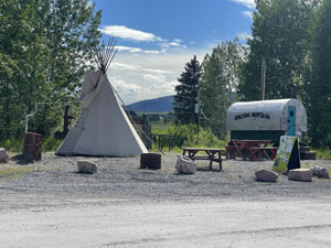
Next on the list was to see if they had a laundromat, which they did! And not only that, the laundromat had just been upgraded with a coin-operated shower. I didn’t have a towel for my shower, but the lady at the saloon where I got quarters from said she had an old towel I could use, so that was a bonus, too! So I was able to wash all my clothes, take a shower, resupply at a nearby gas station, and even bike by a coffee shop (gift shop) and have a legit mocha while I waited for my clothes to finish in the dryer (I was biking around in the 50 degF sun with nothing but my shorts and t-shirt on and still it felt so great and so warm dry and not soaking wet and in the sun, the blessed sun). What a much needed stop.
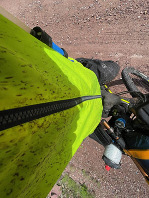
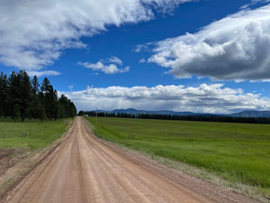
Eventually, I had to set out again, and by this time the wind had really picked up. The approaching winter storm might have been part of the reason? In any case, it was a massive tailwind and I had the brand new hunting jacket that had a LOT of surface area to catch that win. So I flew up the two miles back on course and then farther up the big climb taking me over the pass before Ovando. I passed the couple below who were biking the entire route with two dogs during this stretch (they had started several days before the grand depart)!
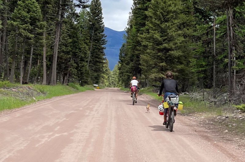
The climb was long, and it actually got a bit hot with the tailwind creating dead air despite the temp starting to drop. I got clipped by some light rain by the top, but rode out of it into some ridiculous windy hills by the time I made it to Ovando. After Ovando, the wind really picked up, and thankfully it was almost always a super strong tailwind.
Eventually, I made it across the “valley” and started the climb up into the Helena National Forest and noticed the very large storm that I believe was part of the winter storm hitting farther north. I pushed it very, very hard up and over the climb and just barely made it ahead of the rain to Lincoln and stayed at the Lincoln hotel, which was basically a large log cabin. It was awesome, and a much needed rest before the next day, which had the most climbing per mile for the entire race, but more on that tomorrow…






Maps and data


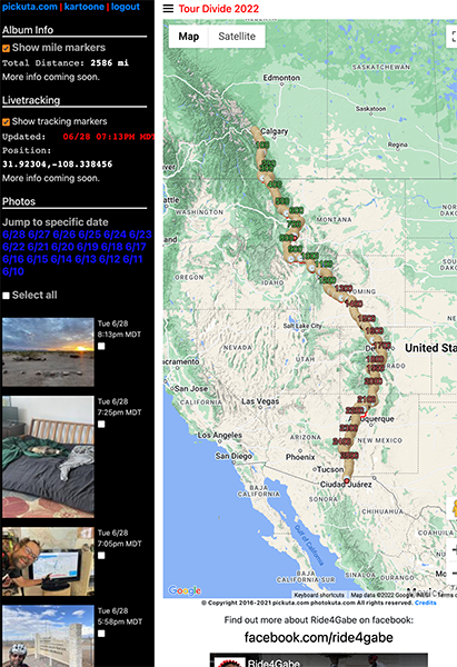
Pickuta photo album
See even more pics from the entire race along with the exact time/location where each was taken on the tracking website I created called pickuta.com. If you are on a phone or small screen web browser, click the “hamburger” triple bar icon in the upper left to slide out the photos and turn on/off the tracking markers: https://pickuta.com/album/258
Leave a Reply