An annual tradition for me for the past three years (including this year) has been to incorporate some of the more busy roads around Birmingham into a Thanksgiving morning ride since there is relatively little traffic out on the roads on this holiday. This year I hit all four US highways that run through Birmingham (31, 11, 78, and 280) as part of a ride that climbed nearly 8000′ in just over 56 miles.
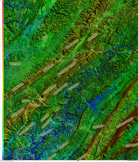
 Topocreator ride map with lots of annotations Download huge version (4MB) here – http://toonecycling.files.wordpress.com/2011/11/tday11map.jpg
 Looking northeast along the Red Mountain ridge line towards Ruffner Mountain
 Downtown Birmingham – annotated Carraway Hospital closed in 2008 – http://www.al.com/news/birminghamnews/metro.ssf?/base/news/122457692457320.xml&coll=2
 Standing at the base of the lookout fire tower.
 Steep switchback on the way back down from the lookout fire tower.
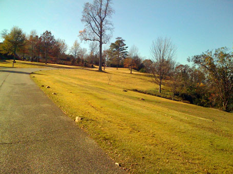
 The last part of the climb up to the top of Vestavia Dr. A tornado leveled the trees here in April 2000, the trees that were planted have started to grow back (scroll down to the bottom of the church history page, righthand column to read about the tornado).
 View looking northwest from Vestavia Dr towards Samford
 View looking north towards Homewood from Vestavia Dr
 Descent off of Hwy 31 – looking towards Oak Mountain, Indian Crest, Little Valley Mountain
Complete interactive ride data on Strava: http://app.strava.com/rides/2444715
 Ride elevation profile
 UAB and Birmingham-Southern
Leave a Reply