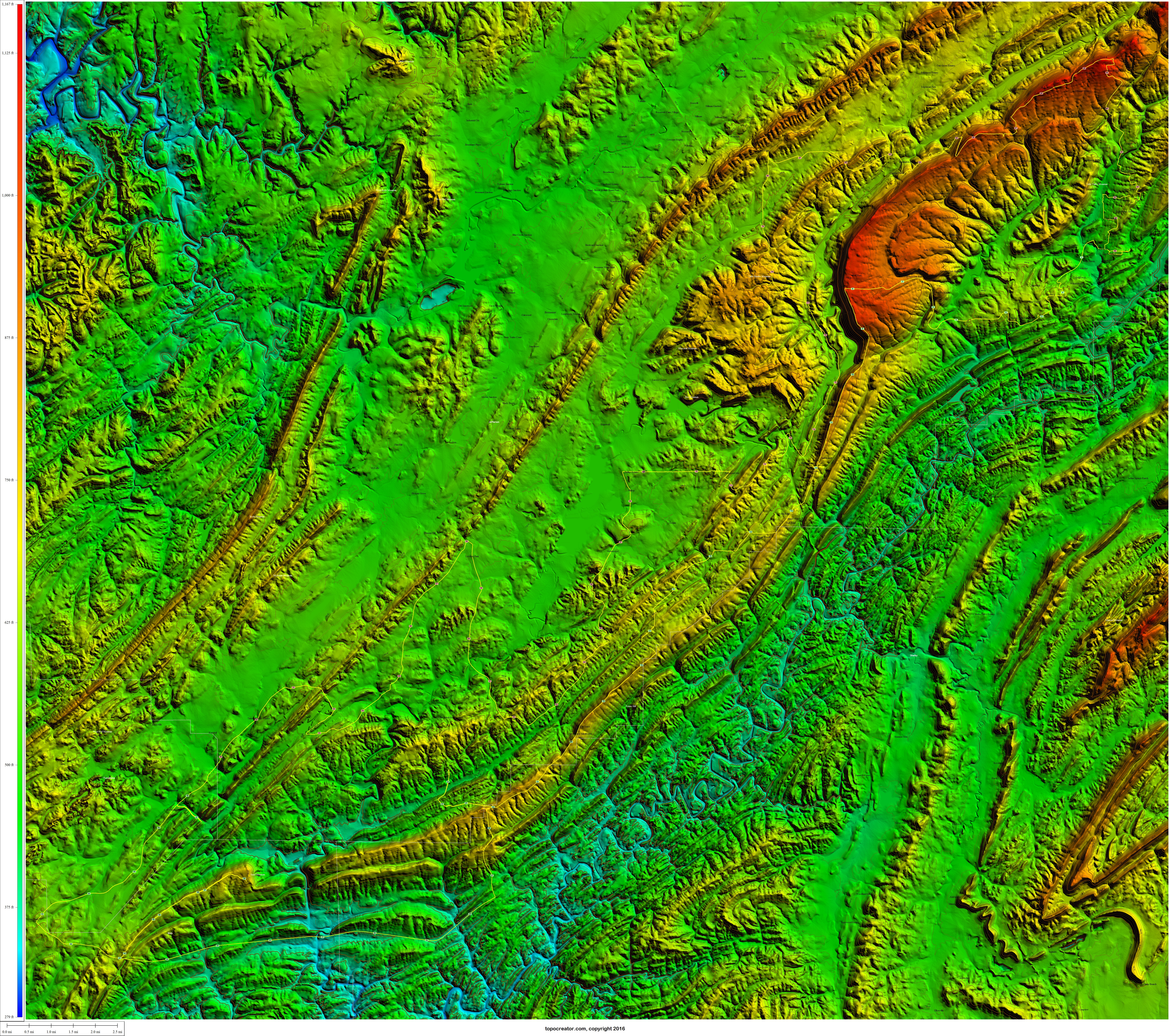
If you follow my instagram account, then you know that I’ve posted the picture of “The End of the Appalachians” sign several times. This sign is located in Tannehill State Park. The best reason I can figure as to why the Appalachian Mountains end right there is because of Mud Creek slicing through the remnants of the merged ridge lines of Red Mountain and Shades Mountain. I’m guessing that everything south and west of that point is considered “hills” that are formed from a different process than that of the Appalachian Mountains. Just past Bishop Ridge on Bibb County 12 is a couple climbs over two small ridges. The second climb is the larger of the two and it continues on up and to the right all the way to the back border of the state park. This ridge is called “Sand Mountain” according to the USGS places dataset. Starting from near the intersection with Bishop Ridge and climbing all the way up to the first high point on Sand Mountain is a bare minimum Cat 4 climb. I’m wondering if it is the last categorized climb in the Appalachian Mountains. I’ve included a topocreator map below of my entire ride (4 county loop that I call the “reverse western” loop). The satellite imagery in the first map is 2015 data. The USGS elevation dataset is a bit older as some quarries which have been filled in by water still show as deep spots and other quarries which have been dug since the elevation dataset was created don’t show up at all. These maps are both huge (20MB and 17MB) so you can see tons of detail if you download the JPG and use an image editing or preview program to zoom in.
 Topocreator.com map of my 4-county “western reverse” loop. Click to enlarge and see detail.
 Topocreator map with satellite imagery zoomed in. The “end of the appalachians” is the spur from my route down in the lower left. Sand Mountain is also down there. Click to enlarge and see detail.
Leave a Reply