 Michigan! 706 miles from Hoover, Alabama to New Buffalo, Michigan in two days!
It has been a while since I’ve posted here, so I’m happy to be back with quite the adventure – a 706 mile ride from my home in Hoover, Alabama to New Buffalo, Michigan at the Northern Indiana border to meet my family for Thanksgiving in La Porte, Indiana. I started this post a few days after finishing the ride, but it has taken a while to fill in all the details given how busy life has gotten recently. Kristine and the kids drove up on Monday (11/19/16), but I had to teach on Monday and Tuesday. We decided that I could just ride up there after my classes on Tuesday and then drive back home with them after Thanksgiving. Little did I know how challenging that would turn out to be. Below the stats and videos, I give a state-by-state summary of the ride.
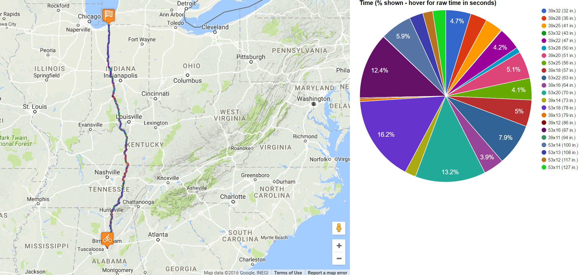 di2stats.com – interactive shift map and data from the ride – https://di2stats.com/rides/view/21752
 Vestavia Dr overlooking Samford University on my way into work.
Warm and sunny, Beautiful Alabama
I rode into work with all my clothes and supplies crammed into my backpack and taught my two classes. By about 12:30PM, I was on my way heading north. Most of campus was already deserted so I just rode right through campus and out one of the back bike/pedestrian only entrances straight into Homewood. It seemed surreal as I was riding familiar roads to think that I would be riding my bike for the next two days covering a drive that normally takes 11-12 hours. In fact, it seemed more overwhelming than any of the rides I’ve done recently. I didn’t have much time to think about that, though, as lunch time traffic was awful through Homewood and downtown Birmingham. I was taking AL-79, which I knew would be busy, but was the straightest, fastest way I could get to Huntsville. I had a nice tailwind and the road stayed 4 lanes until not too far from Locust Fork.
My original plan had been to take the low water bridge crossing outside Locust Fork, but I made the decision to alter the route and take the Swann Covered bridge instead. I had two reasons for this decision – 1) I was going to be crossing cool abandoned bridges later in the ride, so it would be good to throw in one of the more scenic Alabama bridges instead of the paved cement across the river (although that is pretty cool when it is flooded) and 2) I was making great time on AL-79 with its perfect pavement and tailwind. So at Cleveland, I detoured and crossed the Locust Fork of the Black Warrior River at the Swann covered bridge, one of three covered bridges in Blount County. This really didn’t add too much time, and it was nice to be on a nearly traffic-free road for a few miles before hitting Hwy 231 through Blountsville.
The simplest way to get to Huntsville from Birmingham is to take AL-79 up to Hwy 231 and follow Hwy 231 the rest of the way into Huntsville. There are literally zero turns as Hwy 231 joins AL-79 and then continues straight towards Huntsville whereas AL-79 veers right towards Guntersville near Cleveland. But AL-79 and Hwy 231 are both pretty busy roads with high speed limits and poor visibility in places due to all the hills. My preferred route is to take Co Rd 55 after Blountsville and head due north towards Holly Pond and Apple Grove Rd. The first time I road on Apple Grove Rd was during the Alabama state road race a few years ago. Nearly a year later, I ended up on the road again (by accident) as I was training for Race Across America 2015. I was 200 miles into a big loop up to the Tennessee border and coming back down from Huntsville when I suddenly recognized the road as the state road race course. Instead of turning to make a loop, I continued straight and after a couple miles encountered the “wall” – a 1/2 mile 15+% climb up to the Holly Pond plateau. Ever since then I’ve liked to incorporate this road into my route to/from Huntsville. Coming from Birmingham in the reverse direction, the Apple Grove wall is an incredibly fast and straight descent.
I was keeping up a good pace because of the tailwind and because of the desire to hit the Apple Grove Rd dropoff before sunset. As the sun dipped lower and the temperature started to drop, I started having a lot of negative thoughts realizing that the sun was going to set at 4:38PM and wouldn’t rise again until almost 6:30AM – that’s almost 14 hours of riding in the dark. I was wondering if I would have enough battery to last through the night on my front and rear lights. I was wondering if I had brought enough clothes (trying to save weight and anticipating rain, I had only brought my long sleeve rain jacket, a second pair of bibs, and a very lightweight wind vest). I was wondering if I was going to get rained on much earlier than anticipated. These thoughts and questions didn’t last too long, though, because 10-15 minutes after sunset I hit the Apple Grove dropoff, and a half minute / half mile 55 mph descent later I was feeling quite rejuvenated.
I made it back up to the top of Apple Grove Rd by the time it was really dark and was trying to figure out what to do clothing-wise because the temperature was fluctuating quite a bit with pockets of cold air in any low spot and warm air at any elevated areas. At top of the Tennessee River dropoff, I merged back onto Hwy 231 at the tail end of rush hour. Thankfully most of the traffic was leaving Huntsville instead of heading into it, but it was still tricky crossing the road to get to the northbound side. I ended up setting a KOM trying (unsuccessfully) to stay ahead of traffic on the descent. Still, I made it to the Tennessee River and was rattled enough by the traffic to abandon Hwy 231 as quickly as possible and cross the old abandoned bridge over a side channel of the river after crossing the main channel on the Hwy 231 bridge. Also, from the other side of the bridge I was able to hop on one of Huntsville’s greenways and take it a few miles north before veering off of it to get to downtown Huntsville.
By this point I had been out of food for quite a while and stopped at a CVS next to a McDonald’s so I could buy a micro-usb cable (mine wasn’t working because it has gotten so worn down). Then I went over to the McDonald’s to eat and put on warmer clothes. I was cold from the descent so I put on all the clothes I had, but it was too hot and I sweated a lot and unzipped everything by the time I made it to Alabama A & M University on the north side of Huntsville. From here, I had to battle heavy traffic on Hwy 431 north until I turned onto the first road that takes you over to Butler Rd, home of many road races and time trials over the years … so many memories!
A night time crossing of Tennessee
I followed Butler Rd north pretty much to the border (one jog right on stateline road), and Kristine called me literally as I was crossing over to Tennessee. By this point, it was well past sunset, dark, and rural. Pretty much zero traffic until I got closer to Tullahoma where the traffic started to pick up for a little bit before dying again as soon as I made it to the other side of the city. I left the city on a 4 lane state highway that was long, flat, and very straight. Right about the time I was starting to struggle with sleepiness, I got a phone call from my 2017 RAAM crew chief, Jeffrey White, who wanted to check on my progress. This was perfect timing as talking to him for a few minutes helped wake me right back up.
After crossing the long plateau, I hit the drop-off down to Woodbury where at the top of the drop-off there was a police car helping a guy who had apparently run out of gas. I could see the lights from a couple miles away and wondered what it was. By the time I made it to down to Woodbury, it was almost 2 in the morning, and it was cold down in the valley as the temp dropped into the 30s. That may not sound very cold, but keep in mind that I had very little winter clothing, just some light booties and a thick pair of gloves, plus my long sleeve rain jacket. Also, at 215 miles into my ride, I was getting tired so I wasn’t pumping a lot of blood through my body which made everything feel that much colder.
It was awesome riding through the completely deserted roads through the hollows and over some of the ridges in the pitch black dark with bare minimum lighting trying to save battery (mid-level setting for the descents, off or lowest level setting for the climbs and flats). The only real challenge at this point was how hungry I had gotten. I had taken four pumpkin pie pastries with me from McDonald’s, but long before I made it to Carthage, Tennessee I had run out of food. Finally, I reached some familiar roads from the last time I had ridden in the area and made it to the Waffle House in Carthage, TN on the north side of I-40.
Stopping at the Waffle House was perfect timing because it had just started to rain, and I was very hungry. I ate for a while and charged up all my devices using the same wall socket their Christmas tree was plugged into. By the time I left, the light rain had moved north. I was worried that seeing rain this early in the day was a harbinger of more rain to come, but as it turns out the rain stayed just west of my route and wouldn’t intersect my route until Day 2 where I got really wet and really cold. After leaving the Waffle House, I tackled Defeated Creek and Difficult Rd through the towns of Defeated, TN and Difficult, TN at sunrise crossing over into Kentucky about 7:30 in the morning, having traversed most of the state in the dark.
Kentucky on the busiest travel day of the year
I made it to Glasgow by 9AM and hit a ton of traffic on the two lane state highway that takes you from Glasgow to I-65. I had to play the rumble strip, shoulder, road game as I negotiated around road debris and tried to avoid getting in the way of traffic. By the time I made it to US Hwy 31W traffic had died down, but there were some very rude locals who didn’t want to see me on the road at all and let me know about it by roaring their engines right up alongside me and laying on their horn even with no nearby traffic. For the most part, though, Hwy 31W was amazing as I had a strong tailwind and it was flat and fast. I was ahead of schedule, so I cancelled my hotel reservation in Elizabethtown, Kentucky and made a different reservation in Radcliff, Kentucky about 10 miles farther along on my route so I would have a shorter distance to ride on Day 2.
I’m glad I didn’t try to go farther, though, because by the time I made it to Radcliff in the early afternoon traffic was awful (the Wednesday before Thanksgiving is the busiest travel day of the year). This is what is interesting about ultra distance riding and racing. By 1:30 in the afternoon I was wide awake again having had no sleep and could have easily ridden another 8-10 hours. The tricky part of that, though, is knowing how much to sleep once you do stop. Too little (45 minutes – 1 hour) and you may have problems later in the race. Too much (3 hours) and it becomes very difficult and inefficient to get moving again. I ate at the Huddle House in front of the hotel and went to sleep thinking I had timed it perfectly — the big rain system would move through while I was asleep.
Day 2 – Kentucky and the Ohio River
As it turns out, I had not timed it perfectly. The rain was supposed to hit me at the end of Day 1 so I could dry off in the hotel, do laundry, and then be ready to ride again after the fast moving system had blown threw. Unfortunately, because the rain came in much slower than anticipated, it was still raining when I was ready to start riding again about 11PM on Wednesday. I had what I thought would be 340 miles left to ride (turned out to be 326 miles), so I really couldn’t wait around for the rain to end. I had done laundry before going to sleep in the afternoon so that I had dry, clean clothes to wear and a second set of bib shorts in my backpack. I figured I could ride through the rain and then in a few hours change into dry clothes.
This started out fine as the temperature was still in the lower 50s as I left Radcliff, Kentucky. But then the temperature started to drop as I hit the backside of the system. It was very light rain, fog mist, in many places. But it was enough to keep the roads covered in water and me soaked, which is OK at 50 degF with a tailwind but NOT OK at 40 degF with a crosswind that turns into a headwind every time my route veered west. Turning off Hwy 31W and heading due west on a state highway turned out to be a bit harrowing because it was quite hilly, raining, and fast moving cars. Fortunately, I had my Garmin Varia taillight on combined with tons of reflective clothing on both me and my bike meant that I could always tell the point at which a car saw me because you could hear a change in the sound of the approaching car. Once I made it to Brandenburg, I left the state highway and enjoyed a completely traffic free county road overlooking the Ohio River far below with lots of hills and brand new pavement. In the dark and rain mist, the road was beautiful. Finally I made it to the bridge that had caused me to veer so far west – ut I guess with that being the only bridge over the Ohio River for many, many miles combined with it being the busiest travel day of the year would explain the unanticipated number of cars at that time of day.
BRUIN – Bike Ride Up INdiana
I crossed the Ohio River in Brandenburg, Kentucky at about 12:45AM EST. [Timezones were interesting in this ride. Almost all of Indiana is in Eastern time except for a small portion of southwest Indiana near Evansville and northwest Indiana near La Porte. So I was Eastern time the entire day until the last 30 miles of the ride where it switched back into Central time.] I would end up finishing my ride across Indiana at about 9:45PM CST (10:45PM EST) so it took me about 22 hours to cross the entire state from south to north on a route that was 301 miles long. Crossing over into Indiana saw the pavement change to much older, but still very smooth, pavement. They had done the fill-in pavement to close all the expansion cracks and done a very nice job of it.
I took the now nearly deserted state highway from the bridge up to Corydon, Indiana (Indiana’s first capital) before turning west on some smaller state and county highways to head towards Bloomington, Indiana. I wanted to go through Bloomington for a few reasons:
- The terrain in and all around Bloomington is awesome. Lots of rolling hills and even some longer climbs in beautiful scenery
- The Gravel Grovel race is held every year the Saturday after Thanksgiving and would be happening again in just a few days. I wasn’t going to do the race this year, but I wanted to ride by the race course to feel connected to the race. This turned out to be a very important decision as there was no place for me to stop and change clothes and try to warm up anywhere from Corydon until the Midwest Trail Rides bathrooms where the Gravel Grovel race starts and finishes. More on that in a bit.
- In trying to plan a route up to the Gravel Grovel course ahead of time, I found this bridge: https://bridgehunter.com/in/lawrence/fort-ritner/ just south of Fort Ritner. Sometimes when you find a bridge on Google maps, it could actually be closed or even completely gone. But when I saw the September 19th, 2016 comment that the bridge was still there, I thought it would be worth risking a long backtracking detour and crossing such a historic bridge with a 2-ton load limit. Like one of the commenters on the post, I’ve never seen a bridge with such a low load limit. To give you an idea of how cold I was by this point, I saw the 2-ton load limit and thought about stopping to take a pic but I was too cold and didn’t.
When I reached the Blue River, I stopped because my phone was starting to glitch from all the rain. I tried to fix it, but couldn’t. So I had to set the screen timeout to something very short so that any time it glitched and came back on it would cut off as quickly as possible. This led to battery problems later in the day. So it was pure coincidence that I had stopped right before the sign in the pic above. When I noticed the name of the river, I remembered having crossed the Green River the day before in Kentucky. I also knew that my next major crossing would be of the White River. As it turns out, nearing the end of my ride I would also cross the Yellow River!
I was very cold by this point in my ride, and I was out of food. I started looking forward on the map at every intersection hoping that there would be a gas station. Most of the time there was nothing, and the few gas stations I saw were all closed. I had no choice but to keep going – cold, hungry, and very wet. A nice distraction from the cold at this point was approaching the White River where I would be crossing the river at the abandoned bridge I mentioned earlier. After a wet, twisty descent on an old paved road that was mostly abandoned, I made it down to the bridge, snapped a few pics, and ice skated my way cross the bridge on the slick wood.
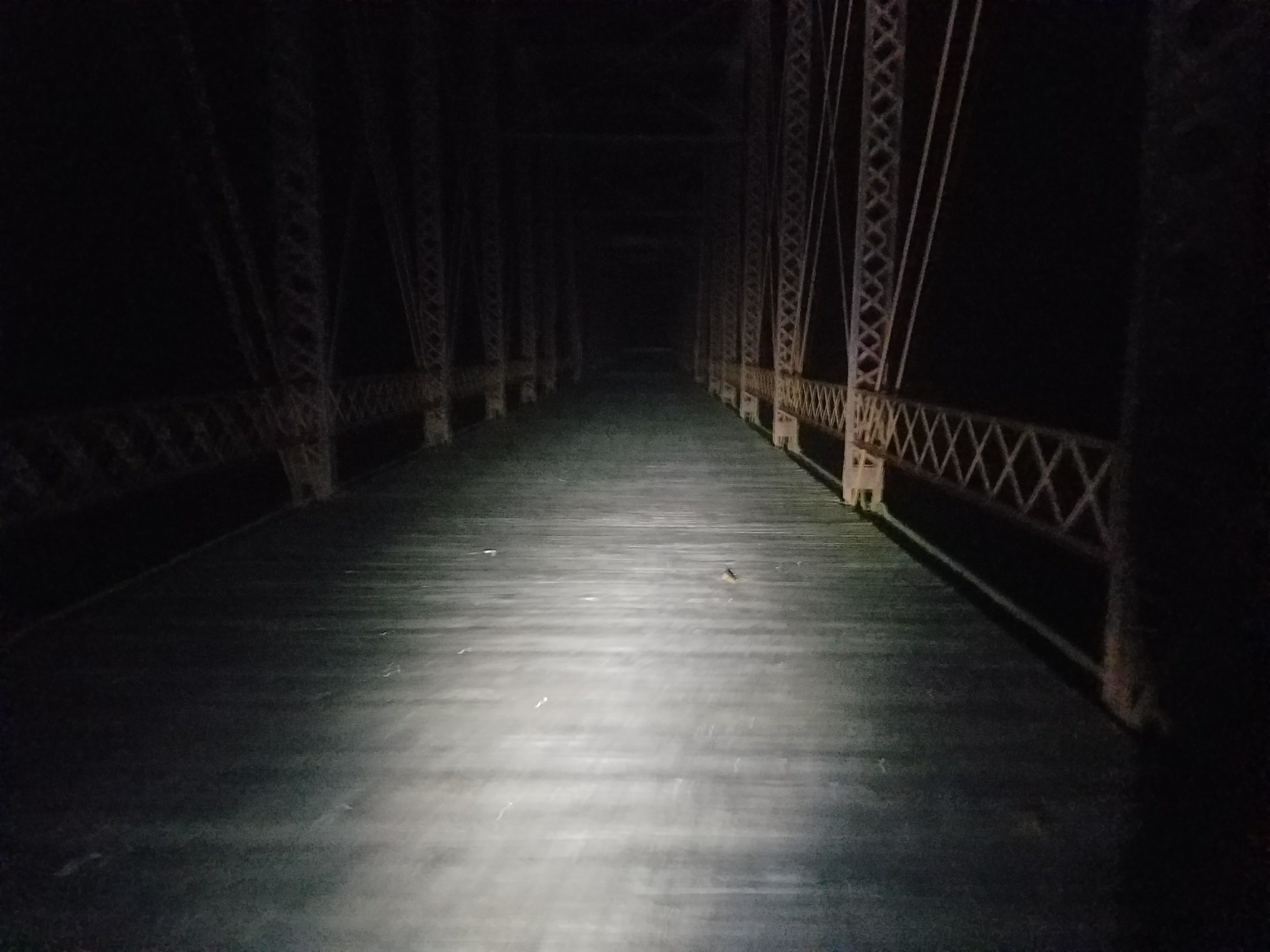 Abandoned Fort Ritner bridge – two ton load limit. Wet and slick.
On the north side of the bridge, the road was dirt/mud but I knew it would be paved soon because I had looked at the streetview images and satellite images around Fort Ritner ahead of time. As I was riding slowly on the dirt, a field mouse ran out in front of and beside me for a few seconds. I said “hi little guy” and kept on riding – you get lonely when riding through the night in the rural backwoods.
Once I made it to the main highway, I knew there was a gas station at the turn to head north towards Bloomington. Unfortunately that gas station (like the few others I saw) was closed at 6AM on Thanksgiving morning. By this point I was really, really cold and decided to pick up the pace a bit to stay warm and make it to the Gravel Grovel restrooms faster where I could change clothes into my dry clothes since it had finally started raining.
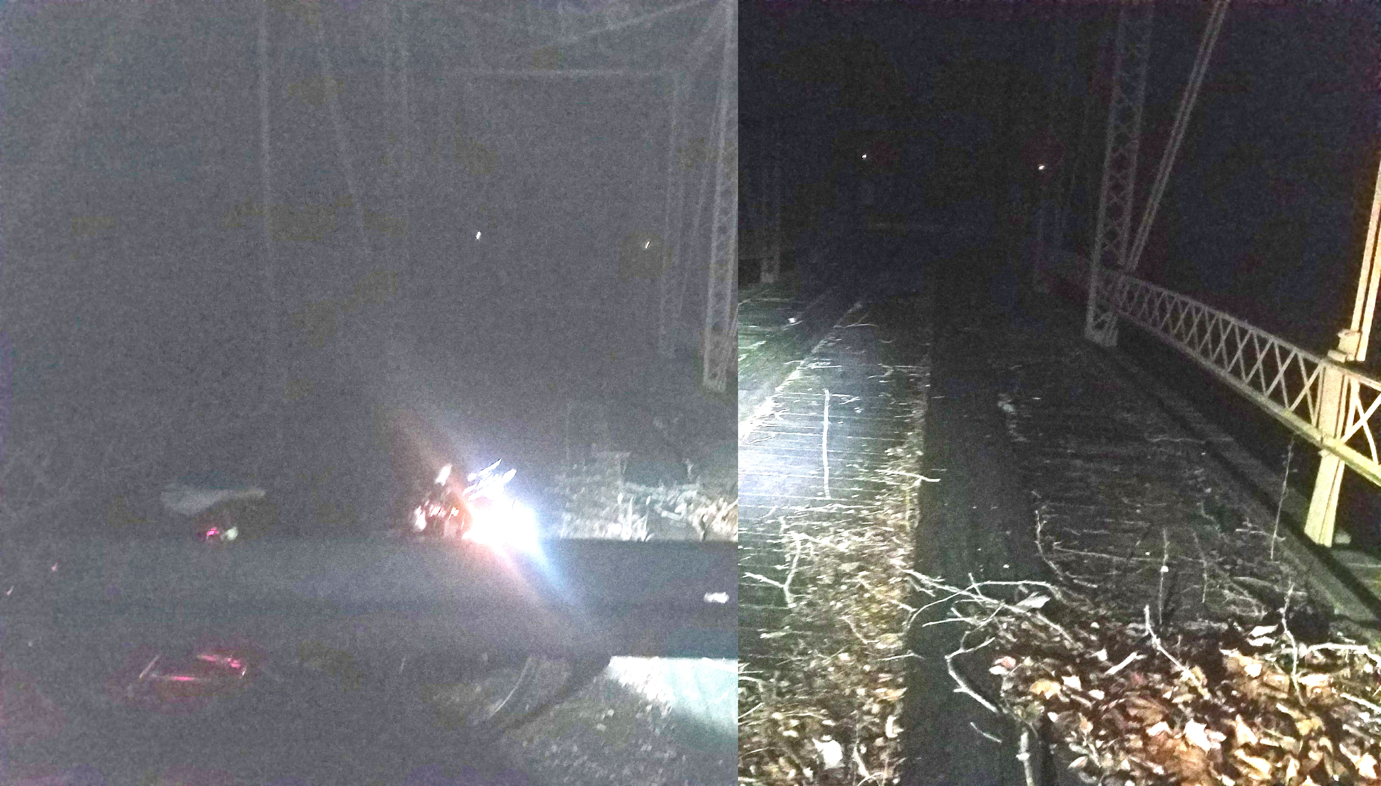 Gravel grovel bridge, so cold, so hungry, so wet!
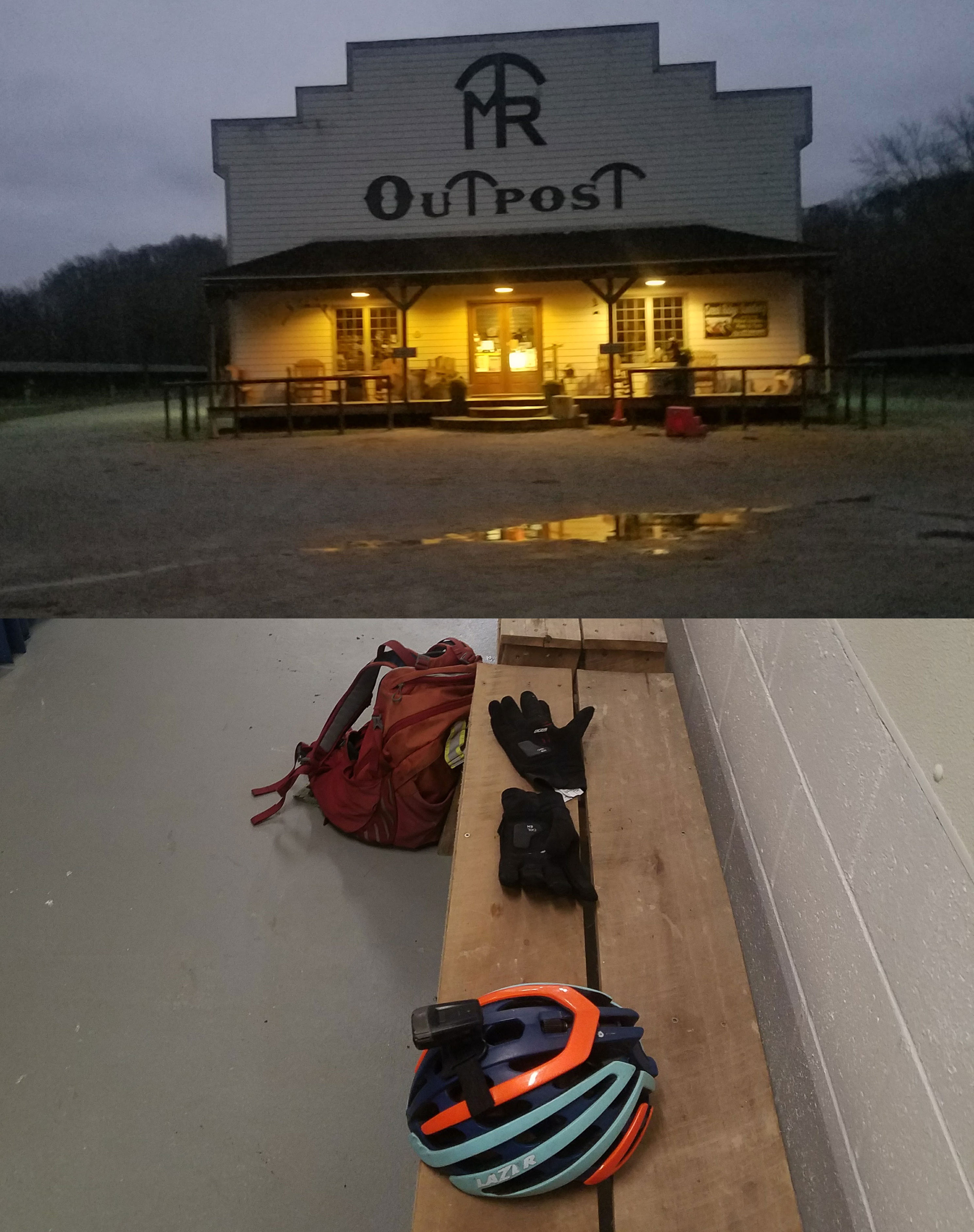 Midwest Trail Rides outpost and bathrooms – finally, a dry place to change clothes!
As I got closer, I realized I could make a slight detour and hop on the Gravel Grovel course for a couple miles and ride it to the finish of the race – including the abandoned bridge which is one of the key “cyclocross” features of the cross race. I did that, made it to the bathroom, changed into dry clothes and continued on my way towards Bloomington riding through the Hoosier National Forest. The White River is dammed through here into a big reservoir with lots of hills and long climbs. It was awesome to ride through there at sunrise, although it was still cloudy and overcast.
Bloomington and the Race Across America
Indiana was my favorite state to ride across during the Race Across America in 2015. The route goes roughly west to east through the southern part of the state crossing right through and making a small loop in Bloomington, Indiana. My route up to the Michigan border took T’d into the RAAM route in Bloomington. I rode in the reverse direction on the course for several miles before deviating north onto Old SR 37. This was one of the most fun and scenic roads of the entire trip with lots of hills and woods. Eventually, though, it ended onto a VERY busy SR 37. Fortunately, there was some road construction that had one lane closed – but it was totally rideable and in good condition so I rode through the closed lane isolated from a seemingly endless supply of cars. Shortly after the construction zone, I was able to take the exit onto SR 39 into Martinsville, which theoretically, goes all the way up to LaPorte. My route weaved back and forth with SR 39 based on whatever roads were least busy and most directly heading north. SR 39 veers out of the way to visit a few towns so after following it for many miles from Martinsville, I took a couple US highways to take advantage of the few diagonal roads in the area to shave off some time.
Thanksgiving dinner on the Wabash River
The longest of these was US Hwy 52, which came after what would have been an absolute amazing find – a rails to trails route parallel to US Hwy 52 in Thorntown, Indiana. Unfortunately, only the first mile of the route was paved, and I had to decide between backtracking a mile or hike-a-biking down to a dirt road that would only backtrack east a quarter mile. I decided on the hike-a-bike to the dirt road, and it was a fun diversion exactly 200 miles into the day’s ride. I was out of food, but didn’t stop at the Thorntown gas station (which was open) because I thought I would be crossing I-65 at a travel center where I could possibly have a better selection of supplies and food. I was mistaken as my route after a very busy Hwy 52 crossed the I-65 at an overpass without any exits and no food. I was beyond hungry by this point and calculated that I had at least 25 miles to the next likely town with an open gas station.
But as I descended down towards the Wabash River, I noticed a lighted “Open” sign on the building in front of me at the intersection. I thought it was a gas station at first, but then realized it was a restaurant. When I made it to the intersection, I looked to the left and saw a gas station that also looked like it was open. I turned left to head to the gas station because I didn’t want to stop to eat since it would be much quicker just to pick up some food from the gas station. But when I made it to the gas station, there was a handwritten sign on the door saying that they would close at 2PM on Thanksgiving. Since it was almost 5PM, they were not open. So I turned around and headed back to the restaurant, which turned out to be a bar where a lot of people from the town had gathered for Thanksgiving dinner.
When I walked into the bar, everyone just stopped and stared. I was confused because there was a nice Thanksgiving dinner spread in the other room, but nobody was eating – probably because they were all finished and just hanging out by this point. After a few seconds of awkward silence, I asked “Can I get some food? I’m really hungry.” One of the patrons got up from the bar and walked me over and said “you’re in luck, $7.95 all you can eat Thanksgiving dinner”. I responded “sweet, this is awesome, thanks so much.” I got a big plate of food after plugging in all my devices to charge in a wall socket next to an empty table. Everyone thought I was crazy having ridden all the way from Kentucky that day and Alabama the day before. I was real happy for the conversation and good food and happy to share a Thanksgiving meal with complete strangers in Americus, Indiana on the Wabash River 615 miles north of home.
Northern Indiana
I crossed the Wabash around sunset – but with clouds and rain still in the air, it started to get dark as I headed north on US Hwy 421 / SR 39 towards Monticello. Even though I had just stopped, I wanted to stop again to get food to take with me since it was unlikely I would find any gas station open again until I reached La Porte. Also, I put on all my lights and left Monticello in the dark. Roads in Northern Indiana are amed 100, 200, 300 etc… and laid out in a grid pattern exactly one mile apart. The occasional 50 or 25 road is 1/2 mile or 1/4 mile from the next 00 road. Most of the roads either head due north/south or due east/west. It’s really hard to get lost, but you aren’t always sure of the road quality. It may start out fine and then turn to rough pavement or gravel as soon as you reach an intersection.
I plotted out a route ahead of time that worked pretty well, hitting gravel for several miles, but it was all fast, fun gravel. For the most part, it was really old chip and seal that was well worn in and quite smooth. I enjoyed a bit of a cross tailwind instead of a cross headwind although there wasn’t much wind blowing at all. This allowed the temperature to drop a bit, and I was very thankful when I finally made it to La Porte county where the time jumped back an hour and the roads took a dive for the worse. I don’t know if it’s because there is more traffic, or because of harsher conditions because of proximity to Lake Michigan, but I rode on some pretty rough roads until I made it north of La Porte where I picked up some old chip and seal that was well worn in again. Finally, after Wilhelm Rd, I made it back to SR 39 knowing that the border was only a short distance away, I picked up the pace and rode on past the Michigan border sign where Kristine was going to pick me up. She hadn’t quite made it there yet, but after a few minutes of waiting at a gas station that was OPEN, she arrived to drive me back down to La Porte. This was the first time we were putting my road bike inside our new car, and I told her if it doesn’t fit we can just leave it here 😉 But it fit, and I’ve already had some more adventures on the bike since I started writing this post!!
Annotated Topographic County Map and Elevation Profile
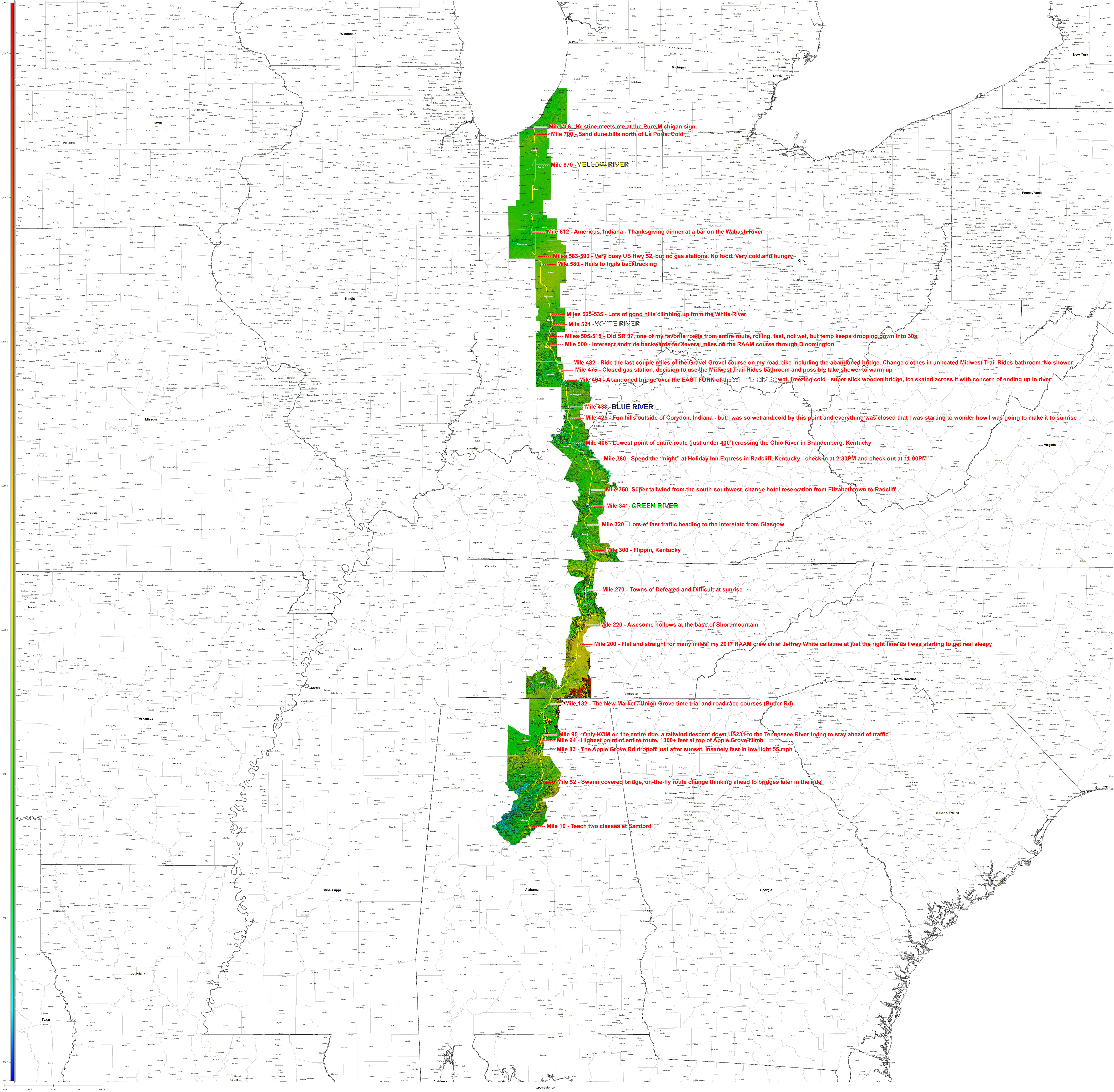 topocreator.com annotated county elevation map of entire trip – click to enlarge, possibly download to your computer to see detail
 annotated elevation profile for entire trip
Stats
| # states | 5 states, 80% of crossing the US from south to north |
| # counties | 33 counties, i.e., 1% of all the counties in the entire USA |
| distance | 706 miles |
| moving time | 43 hrs, 44 minutes (16.1 mph) |
| total time | Noon Tuesday – 10PM Thursday ~ 58 hours (12.2 mph) |
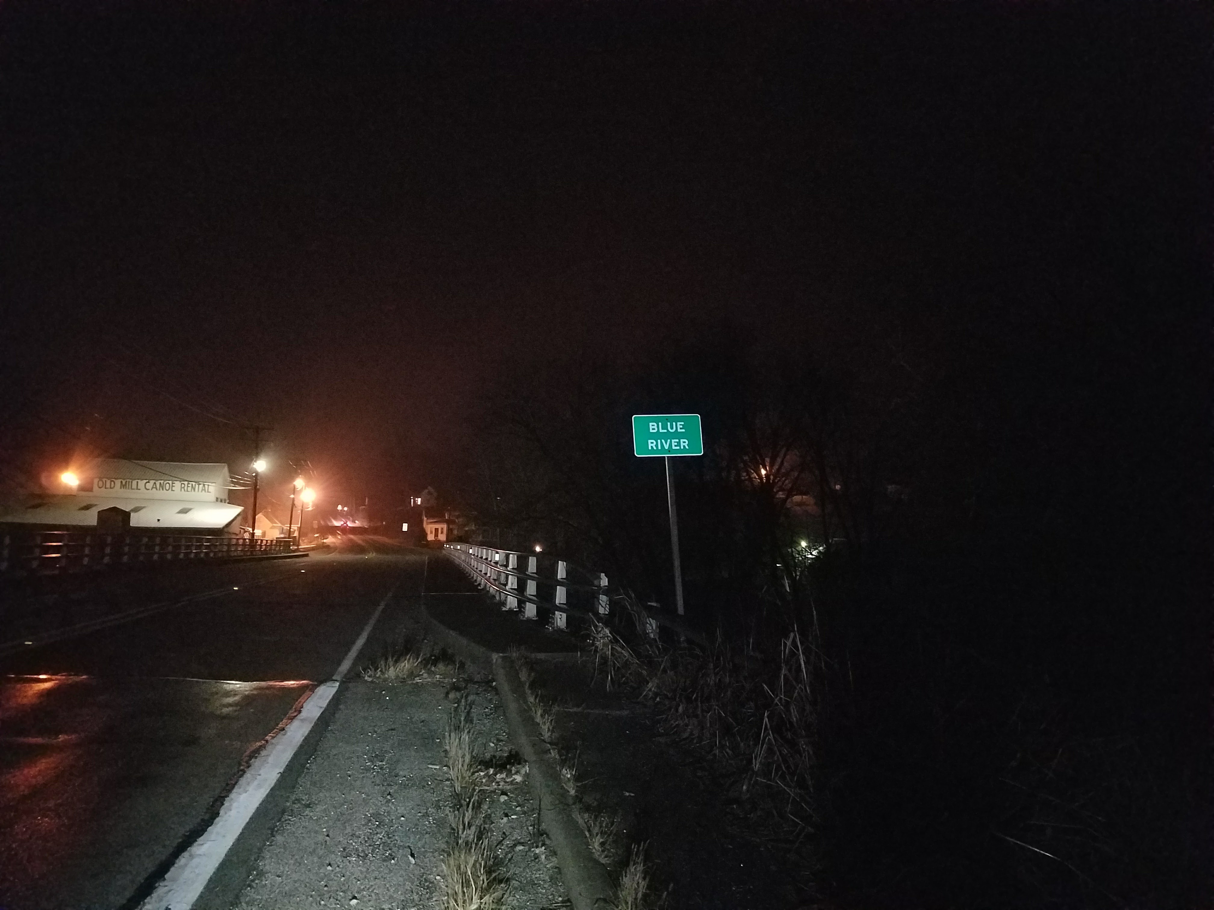 Blue River – stopped to try to fix my phone, which was wet enough by this point to start turning itself on by itself.
 Bridge out sign a couple miles out from the bridge. To proceed or not to proceed – that is the question.
Leave a Reply