This is just a quick post so I could upload the bazillion screenshots and photos from my ride today. I set all kinds of new records … one shortest distance record, but most of the records were shortest time to reach a given amount of climbing. I was pushing the pace really hard – and went for three KOMS. All of them were spontaneous decisions, but they were definitely all-out efforts. The last KOM was the double oak way descent, which I set when I saw a jeep wrangler up at the radio towers with a pull-behind trailer. My first thought was, “oh that’s interesting – somebody must have gotten permission to be up here with a dirt bike or 4 wheeler”. But then I saw the side of the jeep said “Property Patrol” and I realized that the trailer was for confiscating off-road vehicles (and possibly bikes). So I took off like I was being chased by a swarm of bees. I big chainringed the short side of the roller coaster and I hit 52mph on the final steep portion of the descent. Then I did hill repeats to take my total up to 10,000 feet of climbing in just over 3.5 hours. It would have been even quicker if I had been able to do repeats on the roller coaster – but there was no way I was going to risk getting arrested and my bike confiscated.
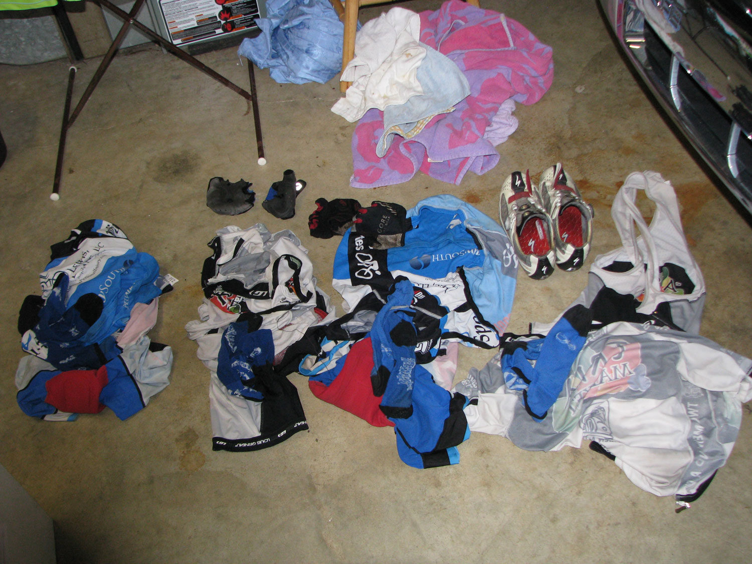
Oh – and before I forget – here is one more photo from my mega ride on Wednesday – a picture of all the clothes that I went through during the day thanks to thunderstorms and 100% humidity.
 Four kits, four pairs of socks, and two pairs of gloves – to ride 249 miles in one day – thanks to thunderstorms and 100% humidity
I’m going to go back and caption these photos and screenshots later. I think some of the screenshots are probably out of order … will re-arrange them later.
Leave a Reply