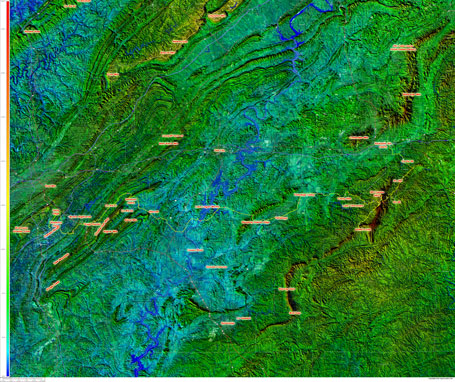
I forgot to post the maps I made for the weekend of riding … if you are curious about the topography of the entire area, then download the super hires ultra resolution (20MB) map of my Cheaha ride (the last map).
 Three days, just under 300 miles of riding
Read my ride recaps and see the photos I took for each day here –
Day 1 – 72.1 miles – commute into work and ride from samford to pell city
Day 2 – 81.1 miles – exploring the oxford – anniston – jacksonville ridge line
Day 3 – 141.6 miles – riding from oxford back home to hoover via mt cheaha
 Oxford to Hoover via Mount Cheaha – mountains of eastern alabama annotated Or click here to download the super hi-res 20MB version of this map.
 Really fun route from Oxford to Anniston to Jacksonville and back via Fort McClellan – includes two Cat 2 climbs
Leave a Reply