Gatlinburg Climbing

Posted

in

I had a computer conference all day Friday, but I was determined to make the most of my time up here in the mountains of Gatlinburg. Friday morning I was up by 5:15 and out the door by 5:30 exploring the super steep climbs in and around Gatlinburg. I went down one road that was easily a 20+% descent for a quarter mile or more. Also, I did the Cherokee Orchard descent which is really crazy (but fun) in the dark. The one-way scenic road is barely wide enough for a car to fit through and it twists and turns around trees, numerous creek crossings, amazing dropoffs and thankfully no bears.

Today I headed out for a super long ride. I left early at about 6:30 to beat the traffic out of Gatlinburg heading to the Smoky Mountain National Park. I was trying to set the KOM on the Clingman’s Dome climb, but came up a few minutes short. Still it was the first chance this year to do a long threshold effort instead of the shorter efforts on the short climbs around Birmingham. I was able to finally get power data for a good hard climb, never too steep, and I was happy with my effort even if it did end up a few minutes short. The temperature difference between the shaded north side of the pass and the exposed south side was amazing – 23 degF was the coldest I saw. Even with the cold, I had to shed layers all the way up the climb. At the top, it was very, very windy with a steady 30+mph wind howling from the west. By the time I had snapped a few pictures and eaten a powerbar, I was freezing so that motivated me to push it really hard on the descent down towards Cherokee.

The Ocanaluftee visitors center at the entrance to the Smoky Mountains National Park is really cool. There is a GIANT raised-relief map that covers all the way from Knoxville to Asheville and is laid out on a table that is at least ten feet long. There is also a convenient water fountain outside. I left the center and turned onto the Blue Ridge Parkway, which was a really cool climb. Towards the bottom of the climb, you would be riding along and see deep gouges in the road. Looking up, towering above you would be a cliff with either a fresh landslide or an omninous overhang. This stretch of the ride was the most rural. After 18 miles, I had made it to Waterrock Knob and climbed as high as the paved sidewalk went.

After the long descent back to 441, I was faced with one more climb – back up to Newfound Gap before a long descent back into Gatlinburg. This climb start out very gradually but then gets steeper the farther you go up the climb. I hit 100 miles and 15,000 ft of climbing near the top of the climb before the long descent back into Gatlinburg. What I had anticipated was going to be about 110 miles and 6 hours was actually 117 miles and 8 hours, 15 minutes long!

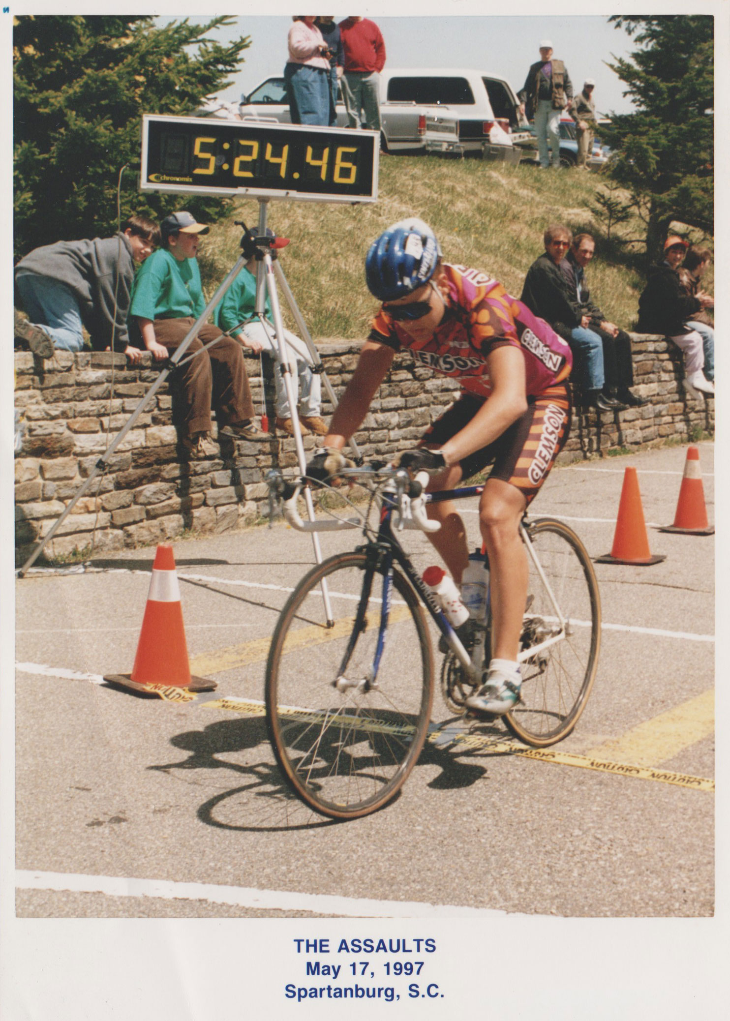
Here is the data from the ride and pictures that I took:


Screen Shot 2011-11-13 at 9.02.55 AM

Gatlinburg 2011, a set on Flickr.

Pics from my 117 mile ride on 441 and the Blue Ridge Parkway.

LET YOUR MOUSE HOVER OVER EACH PICTURE FOR A DETAILED CAPTION!

Comments

13 responses to “Gatlinburg Climbing”

  1. Joe Keays Avatar
    Joe Keays

    Great Blog.

    It’s been fun following you on Strava for the past few months. One day after reading a Velo KOM monthly report about you, I read you were a math teacher. If Strava sorted by profession, I would be proud if I was 2nd place to you as a math teacher myself. (Agoura HS)

    1. kartoone Avatar
      kartoone

      Thanks Joe! I am heading out to California next summer (one of the awesome benefits of being a teacher — summer vacation!). It would be great to get a group of Strava riders together for a ride down there in the auguora hills and over in santa barbara.

      1. Joe Keays Avatar
        Joe Keays

        No problem on some Strava users gathering for a guest appearance. There are several strong riding groups who ride on a regular basis and I we all know each other.

        I’m pretty lucky to live and work in an area which has road and dirt climbs in every direction. Due to the weather and terrain, it’s a Mecca for so many cyclists and tri-athletes.

        Dave Zabriske lives 8 miles away and for the past several years, there is at least 1 pro team who has a portion of their winter training camps in this area. Team BMC last January, as well as the female HTC team. It was fun to see Team CSC from a few years ago flying by my house.

        Last summer, there was a Strava Challenge in our Santa Monica Mountains. When you have some free time, research the “Summer Road Challenge, Santa Monica Mountains” It’s a recap of all of the best climbs.

        I think you have exchanged notes with Steve W who rides all the time like you just 1 hour north around Santa Barbara. He would be the Santa Barbara expert on every inch of road and trails.

        The HTC rider, Tejay Van ? got married in Santa Barbara this weekend and from what I read, there was a post wedding ride yesterday which Steve W might have been apart of. Cool stuff!

  2. jacob Avatar
    jacob

    Brian, why do you put your Garmin on your bars instead of your stem? Just curious.

    I bet your Scott jacket has more miles on it than any other Scott jacket on earth.

    1. kartoone Avatar
      kartoone

      That Scott jacket is so awesome – made out of thinsulate so it is really lightweight and is overkill for any ride that gets into the upper 30s. I’ve worn it on rides by itself with temps in the upper 20s, lower 30s.

      About the Garmin, there’s a few reasons I keep it on the handlebars … 1) better GPS accuracy when I am standing up and rocking back and forth over the stem 2) I am hoping to remount my iBike on the stem during the winter training season to get all the super accurate gradient readings on climbs. 3) mounting it on the handlebar gives a more true to the usgs elevation reading when going through rolling terrain than mounting it on the stem. Normally the garmin cuts off the bottom of hills because you dip down and then back up too quickly for the garmin to read, but if you mount it on the handlebars then the garmin is able to better pick out the bottoms of hills. I suspect it has to do with a high pressure zone created by the garmin as it travels through the air at high speeds. Here is a perfect illustration of how mounting on the handlebars gives more accurate total elevation gain measurement … compare this double oak way roller coaster segment on Strava vs the USGS data for the same segment. Note that my Garmin hits pretty close to the correct elevation gain. Essentially the data recorded by the Garmin b/c of the high pressure is delayed and then recorrected as the air pressure lowers, but note that the bottom point is nearly exactly what the USGS elevation says it ouught to be. If you mount the Garmin on the stem, then there would be no high pressure zone and the Garmin simply would have chopped off the bottom of the descent b/c it’s next reading would have already been on the climb probably 20 feet of climbing not recorded on a stem-mounted Garmin.

      For this Strava segment, the low point should be about 1310 and the high point on the righthand side should be about 1430. When I created the segment, that particular ride looks like it was reading about 35 feet too low on both ends (1268 and 1397). Compare this to the USGS elevation data for the same segment.

      http://app.strava.com/segments/674567
      http://toonecycling.files.wordpress.com/2011/07/profile61168.png

      There is a 9 foot discrepancy there that bothers me because it should have stopped at about 1277, but I am willing to bet that with more accurate USGS data (I think I created my elevation profile with 30m USGS data), the data would show a lower reading as well on the low end and a higher reading on the high end. In fact, the Google maps terrain data shows that the road should be bottoming out at 1280 feet and topping out somewhere between 1400 and 1440 feet (40 ft intervals) I am wondering if they did their maps with higher-res data (the 10m data?)

      Plus, one more thing, if there is any problem with this particular segment and elevation reading, you’ve got to remember this is the most extreme roller coaster segment that I know of so the normal high pressure zone would have a much smaller impact … 50+mph downhill either direction immediately into a climb on either side with max gradients right around 20% and average gradients well over 15%. The South Cove descent has a similar impact … 60mph downhill into a 90 degree turn at 30mph into a small uphill creates about a 20-30 foot elevation gain that wouldn’t register on a stem mounted GPS which would have you descending all the way through the hill to the next downhill which comes shortly thereafter, but if you look at the topography, there is a small climb there … maybe 15-25 feet.

      This was probably a bit longer answer than you were looking for and I think I am going to turn this into a research experiment for school. Maybe I can do something joint with the physics department. I’d also be happy to work with Strava to write a program that would incorporate USGS data to correct crazy gradients like the one where the speed has dropped low enough to eliminate the high pressure zone (67% max gradient!!!) It should have minimal impact on the total elevation gain for me since the high pressure zone does a real-life auto-correction while riding.

  3. jacob Avatar
    jacob

    That is exactly the level of detail I enjoy.

    The research project I want to see is the optimal ride profile for maximum elevation gain over a given ride time. I bet you already have all the data sets you need for this… just a matter of writing the formula.

  4. Joshua Longenecker Avatar

    Brian, any tips on how to dress for the cold ride up Clingman’s dome (or advice to avoid it altogether)! I’ll be down there this weekend and wanted to get some riding in…but the forecast for Gatlinburg is 45/23ish.

    1. kartoone Avatar
      kartoone

      Definitely dress in layers. It is really easy to get too hot on the way up and then be freezing for the way back down. If the temp is on the lower end (20s) when you ride, then I would also wear either two pairs of gloves or at least use glove liners. I made the mistake once of only taking a thick pair of gloves and my hands were so hot that I spent half the climb taking off my gloves completely for a few minutes and then putting them back on once my hands got too cold. I believe the temperature was in the mid to lower 20s on the climb. Also, one last thing, prepare yourself to not be too disappointed if the road to Clingman’s is already closed for the year. Hwy 441 stays open all year round except during snow storms, but the 6 mile spur which leaves 441 to finish climbing to the top of Clingman’s closes every year for the winter. If Clingman’s is closed, you could still ride up and over the 441 pass (Newfoundland gap) down the other side, turn around and ride back over. This would give you two HC climbs on the ride.

      1. Joshua Longenecker Avatar

        Thanks for the info.

        When I was reading about Clingman’s online someone made it sound like the ride on the spur was best in the winter when it was closed….but yes, I’ve definitely considered the possibility of not being able to ride it.

  5. Joshua Longenecker Avatar

    You were definitely correct about the road being closed…when I started seeing snow by 2000ft and large quantities of black ice in the top sections of the gap (even with salt, etc) I assumed the road to Clingman’s would be unrideable. Ended up being a sheet of ice!

    Enjoyed the ride, though–both sides of the gap are pretty easy grades, and the visitor’s center on the NC side gave me a place to warm up. Brr!

  6. Colin Payton Avatar

    Hey, Brian! I have been, like several people on here, following your Strava page for a while. Today, I rode the Clingmans Dome route and managed to take a satisfying second to you on the first big climb I’ve ever done. You have been daily (since you average an insane amount of rides a week) motivation for me. This is my first year cycling after a debilitating back injury and I am loving it. Hopefully you take on The Assault to Mt. Mitchell this year or next; it would be a pleasure to meet one of America’s greatest climbers on one of America’s greatest climbing races.

    1. kartoone Avatar
      kartoone

      Thanks Colin – nice work on Clingmans. Oh wow, thanks for the compliment, that would be awesome to race Mt Mitchell again. I raced it in 1995 (21st), 1996 (5th), and 1997 (2nd to George Hincapie). Here’s a photo from the year I finished 2nd place – I was only 20 years old. George had already won by 18 minutes or more in front of me. http://toonecycling.files.wordpress.com/2012/03/assaultmtmitchell-2ndplace.jpg

  7. […] 2011 – Going for the Clingman’s Dome KOM plus Waterrock Knob […]

Leave a Reply to Colin Payton Cancel reply

Your email address will not be published. Required fields are marked *