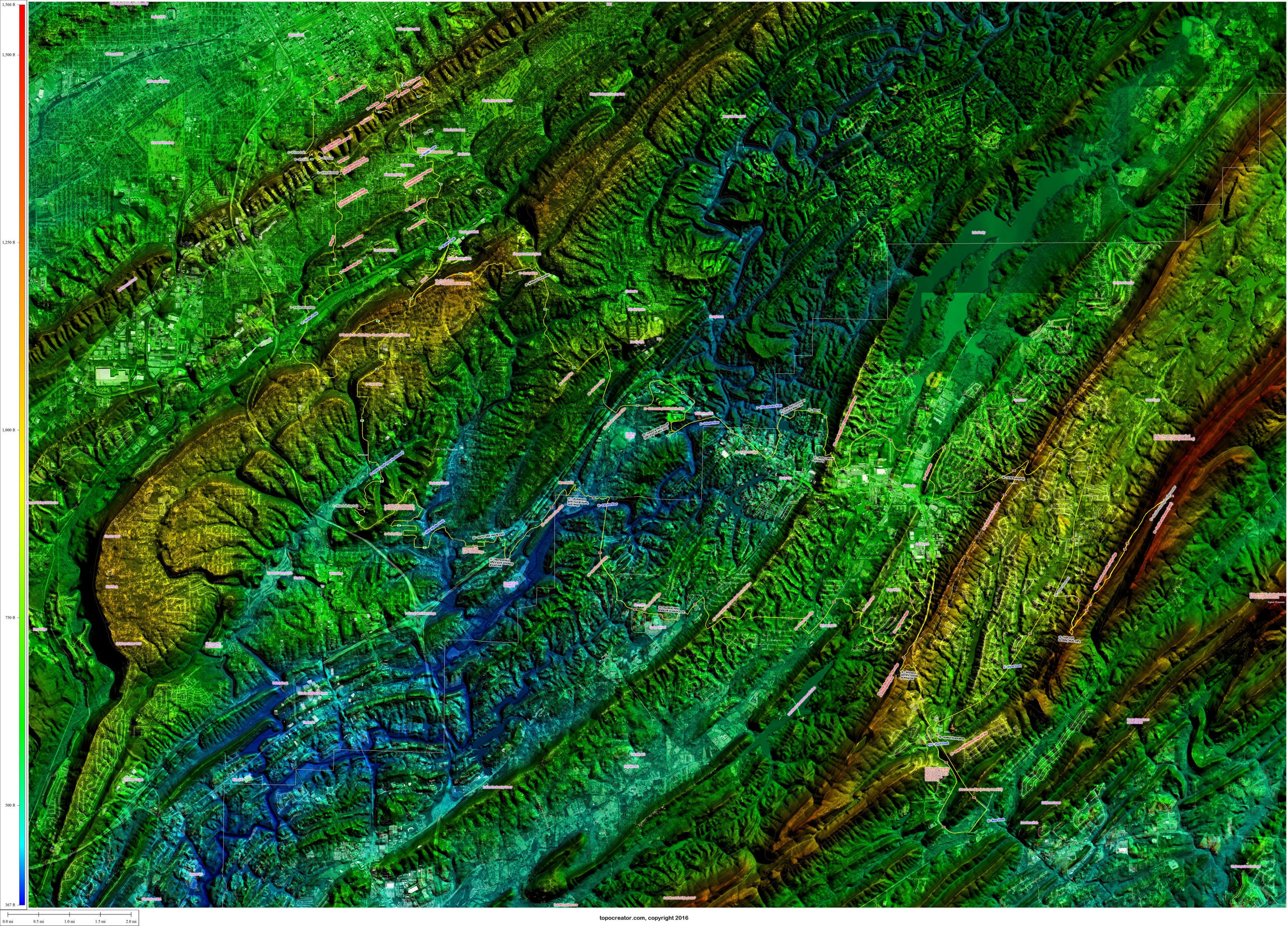
Ridge to ridge to ridge ride annotated with hires 2015 satellite data (USGS orthoimagery 1ft resolution). Click to enlarge and zoom. Red numbers are ridge crossings. Black numbers are non-car accessible points and trails. Blue numbers are creek and valley crossings. Purple unnumbered labels are other various points of interest. (Click to enlarge, depending on your browser you may have to click the loaded image to zoom)
Posted
in
Leave a Reply