The ridges get larger and higher the farther east you go in Alabama — ultimately reaching 2407′ on top of Mount Cheaha, the highest point in Alabama. This elevation trend is true locally in Birmingham as the ridges stack on top of each other getting larger the farther east you go until you hit the Coosa River valley. The highest point in Shelby County is Signal Mountain (1566′). Nearby mountains in the 1500′ range are Sand Mountain (1540′) and Double Oak Mountain, which just barely hits 1500′ at one tiny spot on the mountain. Normally, the 1500′ contour line doesn’t show up on a map with the Google Terrain view contour settings of 40′, but if you change the settings to 100′, then it shows all the 100′ intervals including 1500′. That is how I discovered the spot on Double Oak at 1500′. I noticed on a map I created that there was one tiny 1500′ contour circle on the mountain.
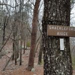
Beside these three mountains, everything else drops down quite a bit with the exception of Oak Mountain, which rises back up to nearly 1300′ at Shackleford Peak on the White Trail. These trails are off-limits to bikes, so I had to hike-a-bike the red/white connector and the white trail all the way to where it connects with the new Thunder trail. This hike is strenuous without having to lug a 25 pound bike up the mountain, too so I was pretty tired by the time I made it to the new Thunder enduro trail. I noticed that this had a drop well over 700′ (if you also include the lightning trail, or take the camp road back down to the main park road). I originally had planned to turn around at the bottom and ride back up it since there was absolutely nobody in the park on a Tuesday in the middle of the day with severe weather rapidly moving into the area. But I was too tired and sore from crashing earlier in the ride that I decided to take the main park road out the back of the park to get back home.
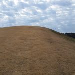
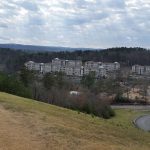
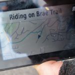
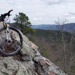
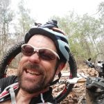
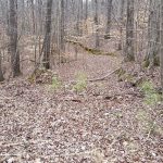
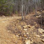
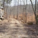
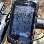
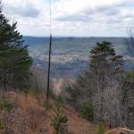
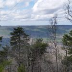
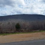
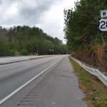
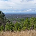
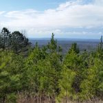
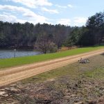
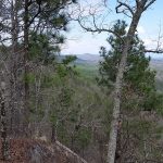
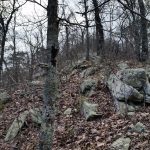
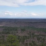
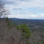
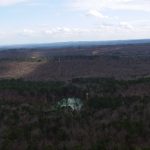
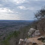
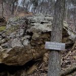
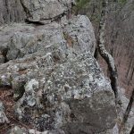
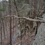
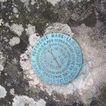
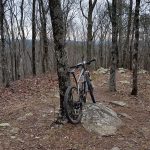
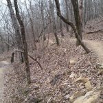
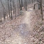
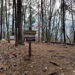
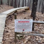
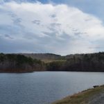
Still, it ended up being a 70 mile adventure with 9500′ of climbing. By the end of the ride, I was feeling a bit more comfortable on the bike so hopefully I’ll be ready for the Southern Cross race this weekend in Dahlonega! I’ve included an annotated topocreator map of all the peaks in the area below as well as a gallery of pics from the ride. Click on any of the pictures to open a gallery with captions.
Ultra hi-res version of the map above (27MB)
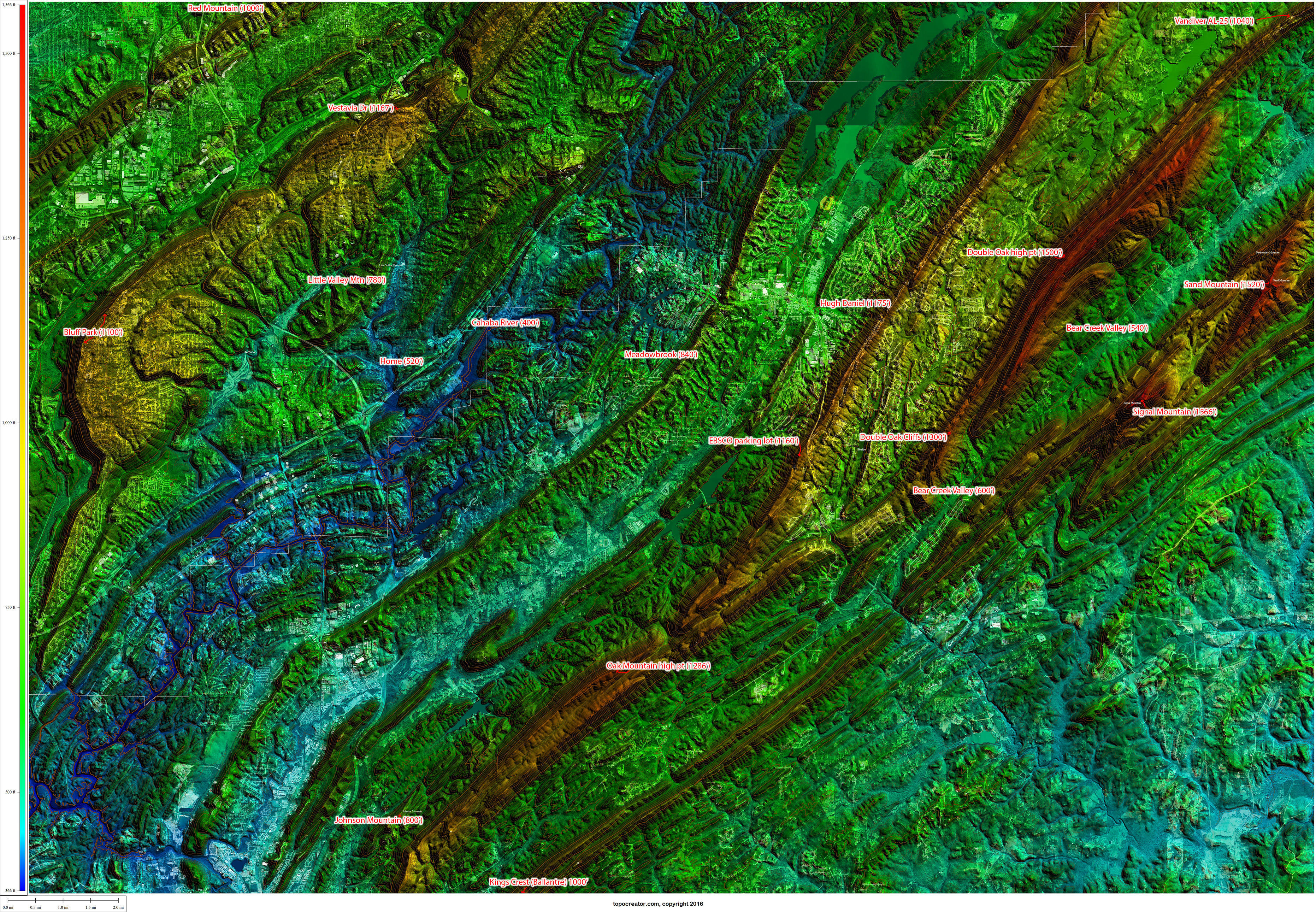 Annotated high points with 2015 satellite data. Click to enlarge and see detail. Click the text link below for a version that is twice as detailed 27MB.
Leave a Reply