
TLDR – I rode my bike 903 miles from the mountains of Virginia down to the birthplace of flight – Kitty Hawk, North Carolina and then back across to Lee County, Virginia where the title story takes place. It rained a lot, from start to finish, with a few extended breaks that were great, but it was a wet ride.
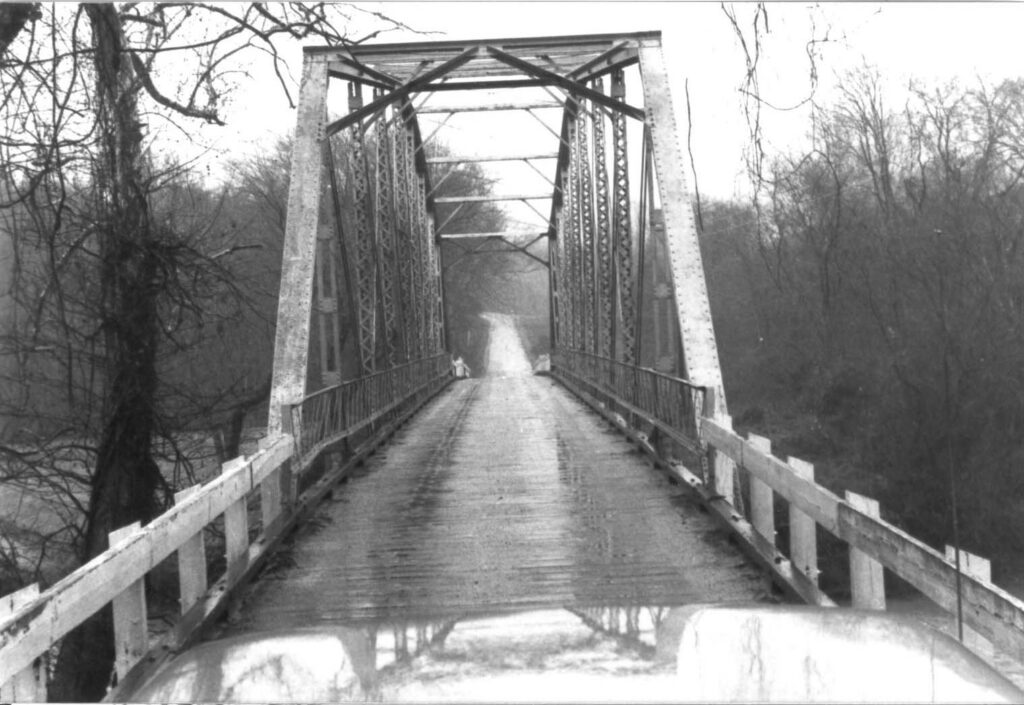
I started listening to the audio book Demon Copperhead by Barbara Kingsolver about a boy growing up in a trailer home and a series of foster homes in rural Lee County, Virginia. I spent every summer with my grandparents in rural Fluvanna County, Virginia. It would take us 30 minutes to drive to the nearest grocery store in Charlottesville, sometimes via VA-53 past Thomas Jefferson’s Monticello home, but more frequently taking RR 600 (Rural Route 600) over the one-way wooden bridge spanning the Rivanna River to RR 616 and eventually Highway 250 or sometimes I-64 at Zions Crossroads. All these years later, seeing the numbers 600 or 616 takes me back to the white picket fence along the huge farm at the intersection of the two roads. I also immediately think of rolling steep hills and twisty roads. And then after that, one way bridges. I think my fascination with finding and crossing abandoned bridges can be traced back to the memories of those summers.
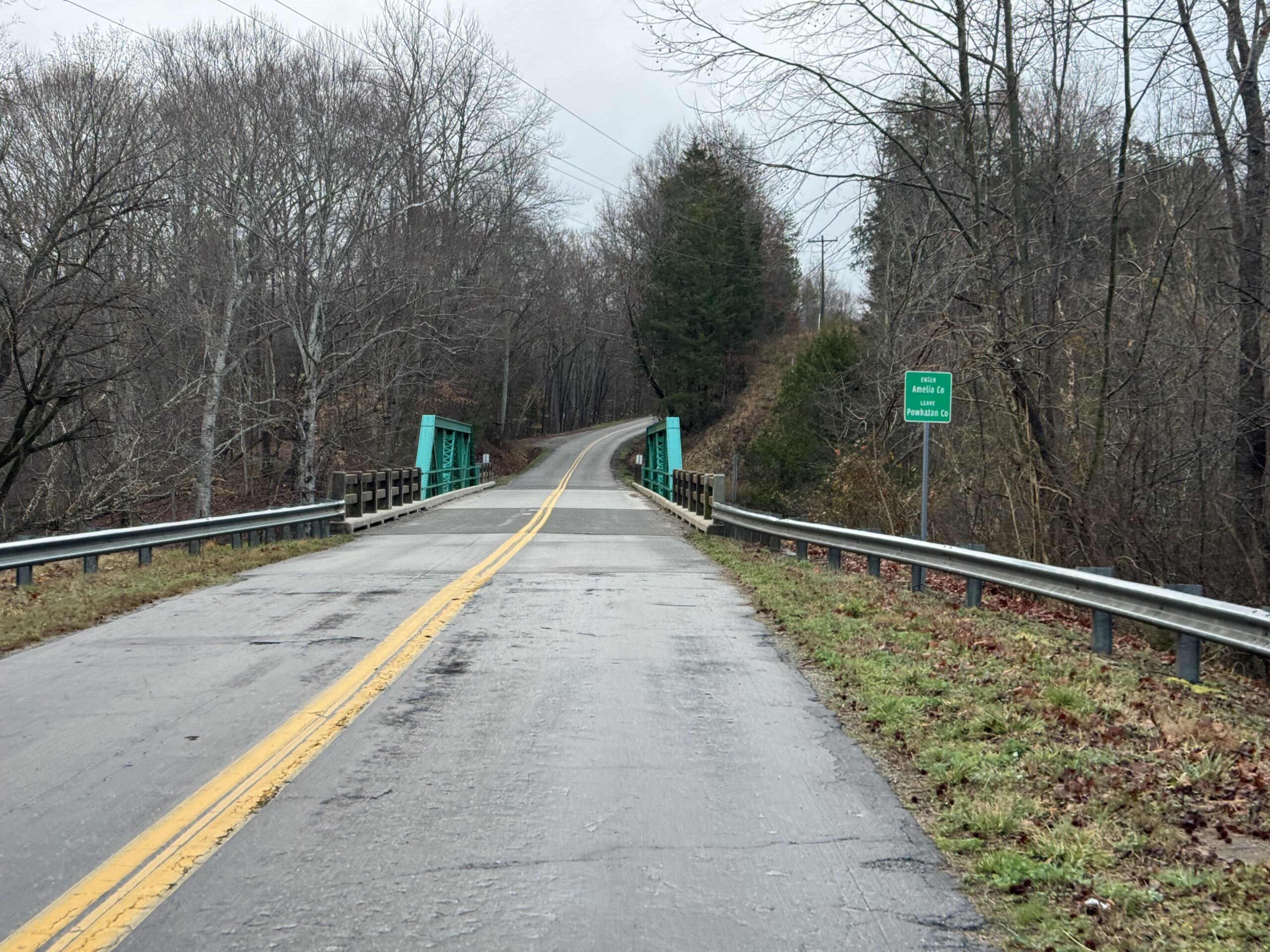
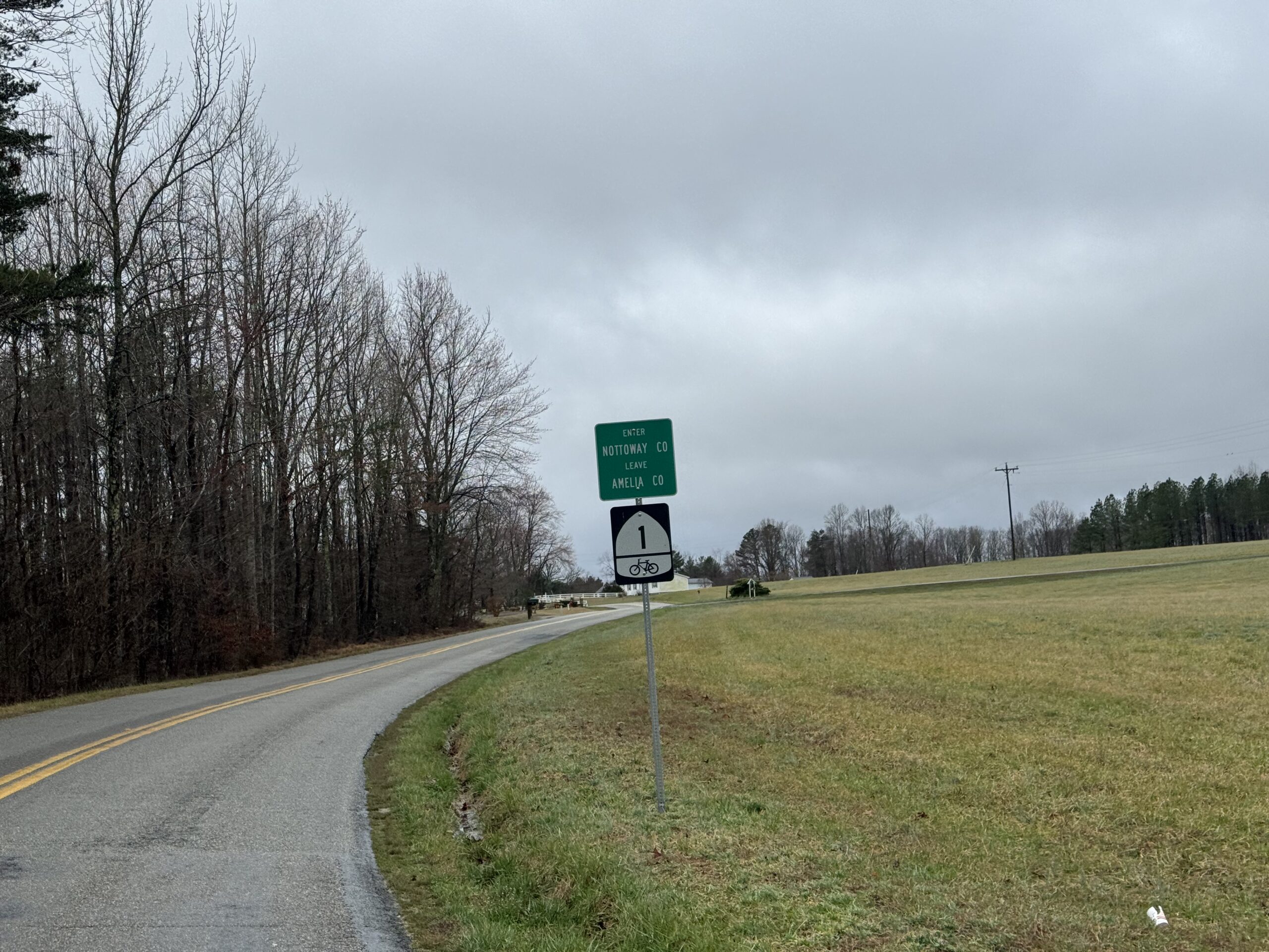
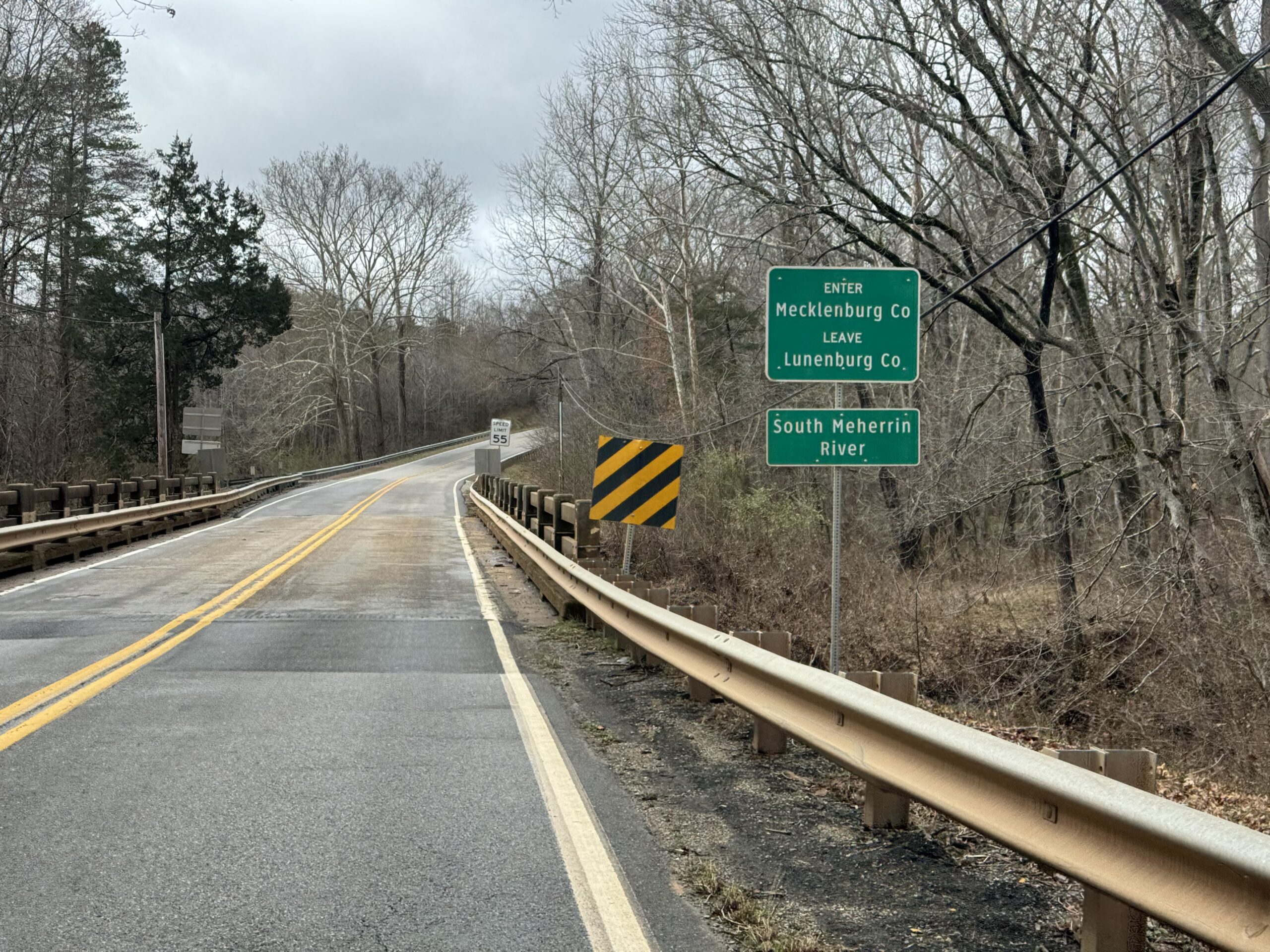
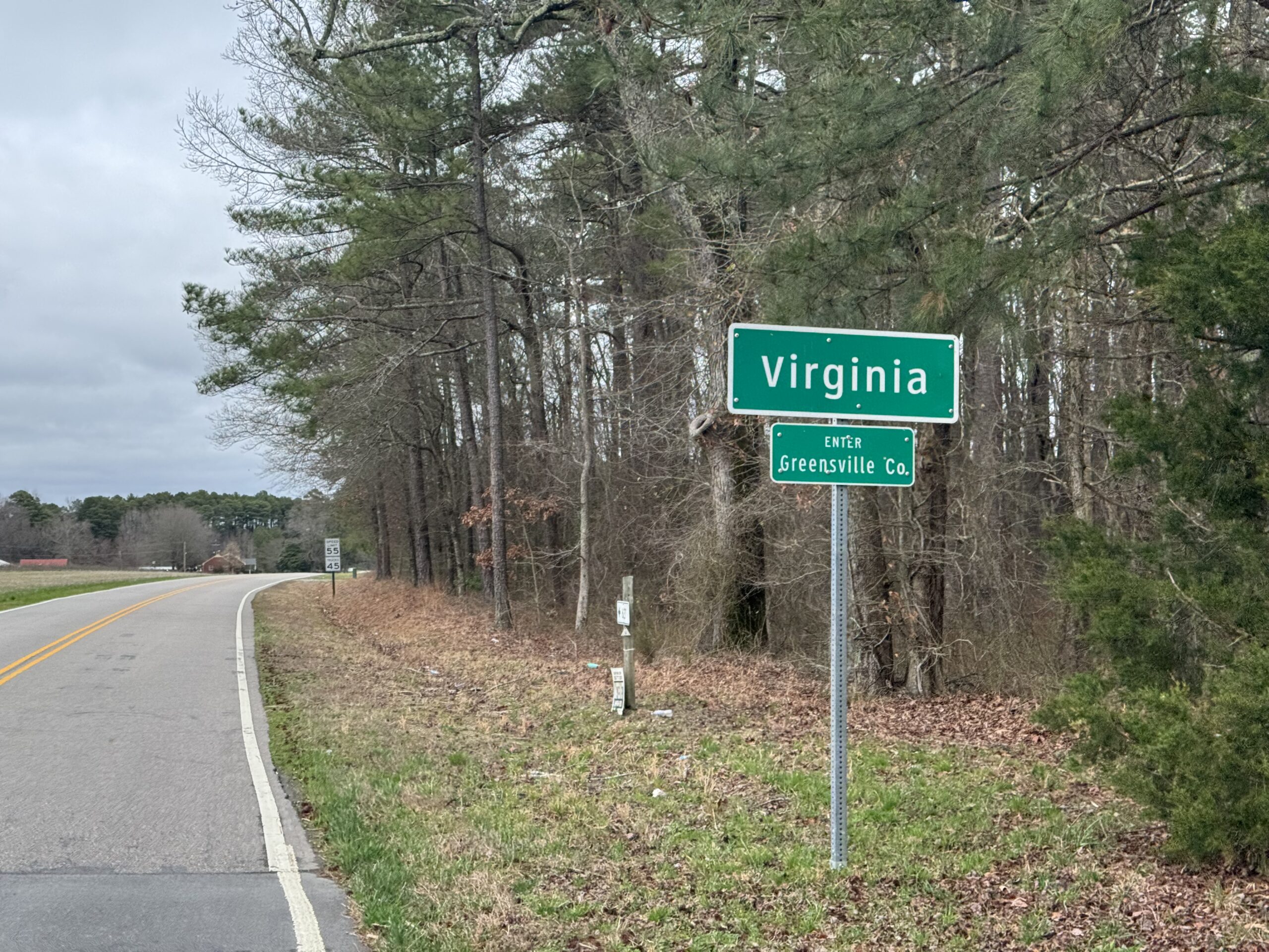
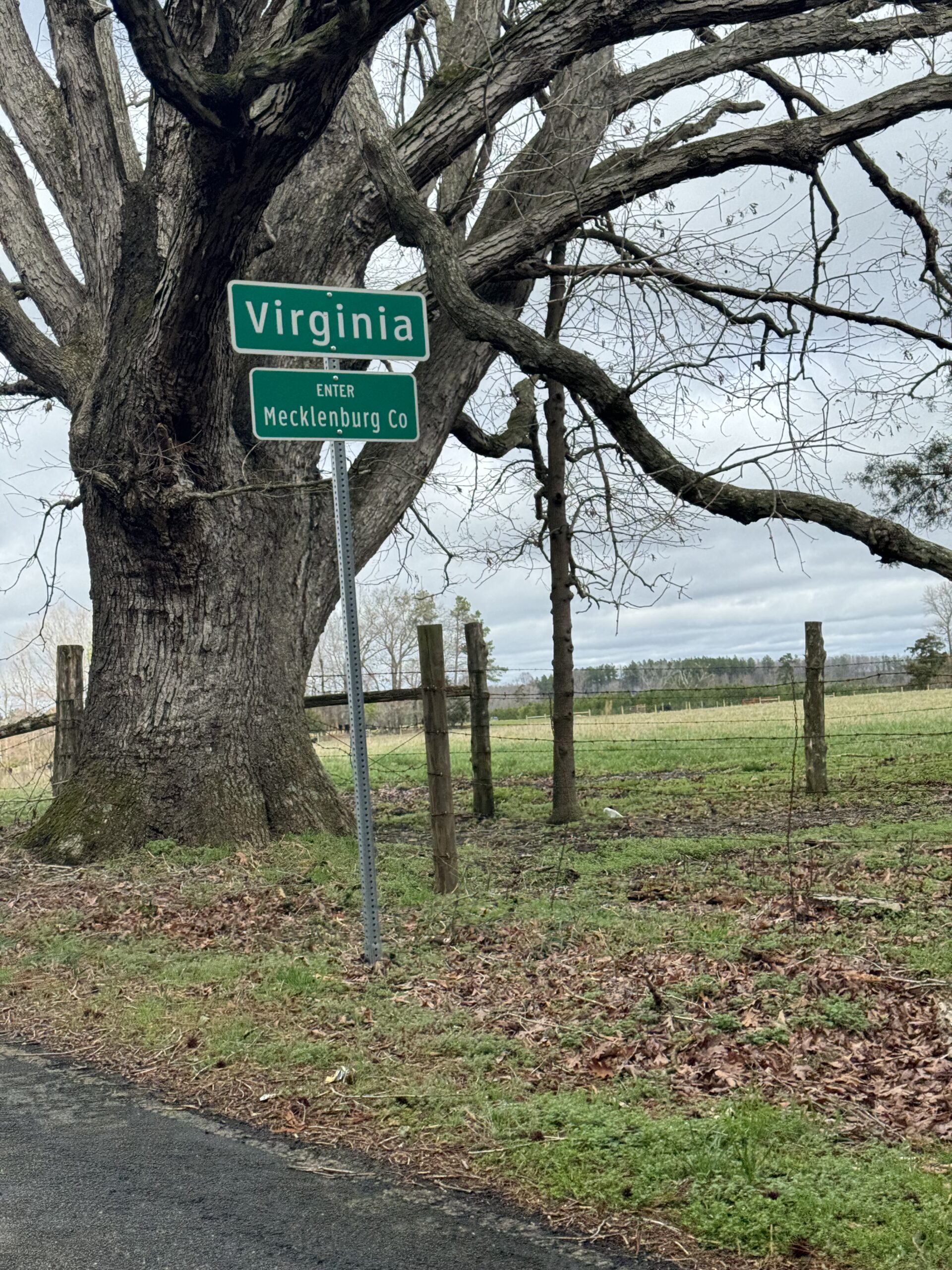
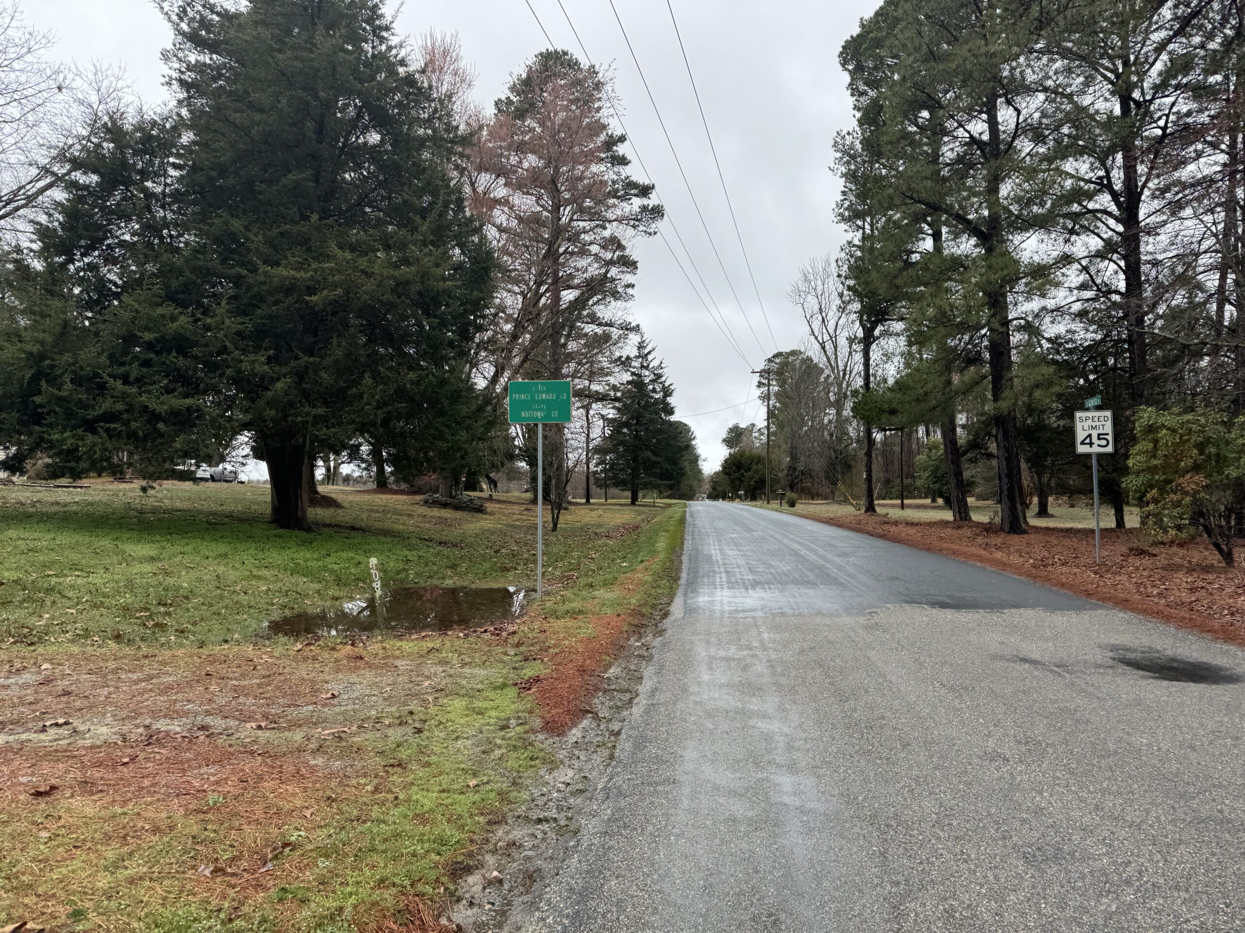
What does this have to do with Demon Copperhead? Well, Virginia is the only state that completely separates its cities from its counties. This matters for my goal to ride in all the counties as a way of “covering” a state, but in Virginia, I technically need to ride in all the cities, too, or there will be holes in my map. But more importantly, it’s a concrete political structure that reinforces the difference between city life and rural country life. And that directly relates to Demon Copperhead and the rural vs city living and the vastly different struggles faced.
Route planning and logistics
With my daughter returning from spring break on Friday, I decided to borrow my wife’s car and drive up on Monday to Staunton so that I could meet her on Friday on I-81 and help my daughter drive the rest of the way up. Then when the two of us made it to Staunton late Friday night, I’d already have a car there and could begin the 750 mile drive back home. This overall plan took a bit of thinking over a few days to figure out as the best plan given a couple other alternatives involving trains or long, fast rides back home that might involve riding straight back to Samford to teach my Monday morning class. Even after coming up with an overall plan, figuring out all the details takes the produce up to a whole ‘nother level. More on that in a bit.
The overall plan meant I would have Monday night – Friday night to explore Virginia (and North Carolina). When I was originally planning the route I noticed there was no “good” (subject to all the constraints below) way to get over to the coastal counties and my first night’s stopping point without dipping down into North Carolina. Since I’m also still trying to finish up riding in all the counties there, too, I decided to go all in on the northeastern counties of North Carolina by making the Wright Brothers Memorial in Kill Devil Hills in the Outer Banks as my turnaround spot.
After Spring Break, when I got back to Alabama and was teaching my Artificial Intelligence class, I went over how I planned out the trip and how the decision of how to route myself was a complicated version of the Traveling Salesman Problem. Solving a TSP already takes a non-polynomial (i.e., could be exponential) amount of time. But then you layer on a whole bunch of constraints:
- Are there dogs?
- Is the road paved? Good quality pavement or rough?
- Is the road unpaved but still rideable on a road bike?
- Is the road too busy?
- How hilly are the roads and what is the impact on average speed?
- Does the road have an adequate shoulder given a certain level of traffic?
- Which direction is the wind going to be coming from and will that change?
- How can I visit scenic spots along the way?
- How much sleep do I need? What is my arrival time at a hotel?
- Will my devices get recharged enough on short hotel stay(s)?
- What time will my daughter arrive in Southwest Virginia on Friday?
- What time do I need to leave at the very beginning of the trip (and each day/night) and how fast do I need to ride to make sure the timings work out for the rest of the trip? This includes the rendezvous at the end and making it to the scenic spots along the way during the day?
- How can I maximize the number of new counties I ride in while minimizing the number of old counties ridden in, especially when the route itself will turn new counties into old counties by the time I start working my way back?
- Where are the potential stopping points, and how can I split the entire route up into roughly equal length Eddington number days – a minimum of 256 miles for me?
These are just the things I can remember off the top of my head. There’s probably a few other constraints that I’m currently forgetting. If you could formalize and answer these questions and increase or decrease the “distance” of certain roads based on the answers, you are then back to the original form of the TSP (which already has a potentially exponential solution). The question becomes the one of turning the answer “yes, there are probably dogs” into a certain number of miles to add onto the road. Also, based on my years of experience in routing and riding, how do you factor in the gut instinct of “I should probably route myself this way”? That’s what elevates this kind of route planning into the realm of Artificial Intelligence.
I decided to use my Human Intelligence to come up with a route – starting with thinking up a good title: “1000 miles of VA/NC gator hunting”. The benefit of developing the route myself is that not only do I enjoy figuring out the best route by hand, the time it takes to create the route also helps me memorize or at least have a good idea of where I am supposed to go when out on the road, which can help tons when the road turns out to be through a swamp and I need to re-route myself in real time.
And with all that background in mind, here was the plan I came up with:
Day 1 plan – 320 miles from Staunton, VA down to Emporia, VA
Day 2 plan – 256 miles from Emporia, VA to Kitty Hawk, NC via Nags Head
Day 3 plan – 285 miles from Kitty Hawk, NC halfway across VA to Danville, VA
Day 4 plan – 200 miles form Danville, NC to Abingdon, VA or Bristol, VA/TN
Grand Total of about 1040 miles.
So that was the plan, this is how it all shook out after getting punched in the mouth by 10 hours of cold, sometimes heavy, rain — (Thanks Mike Tyson):
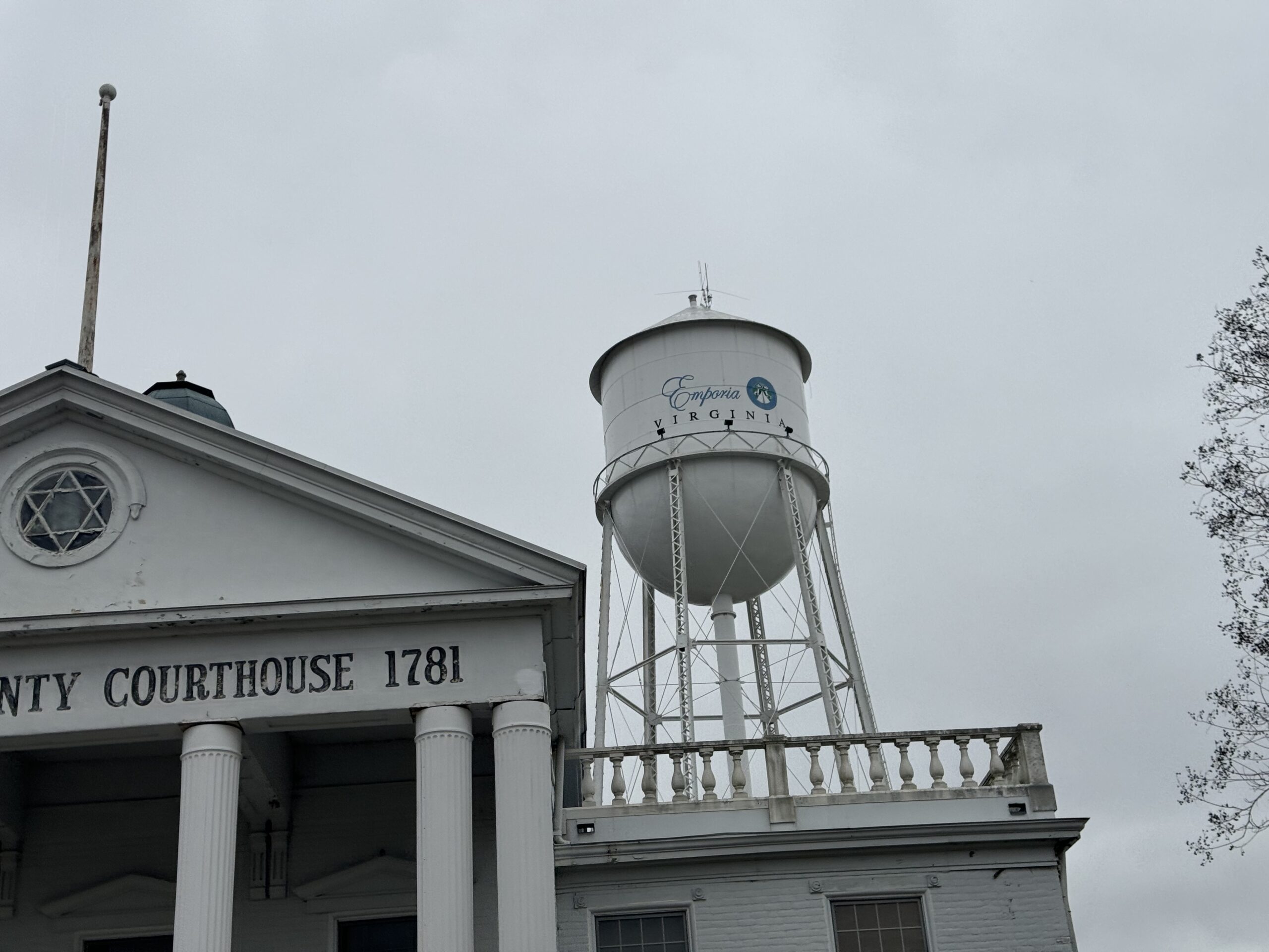
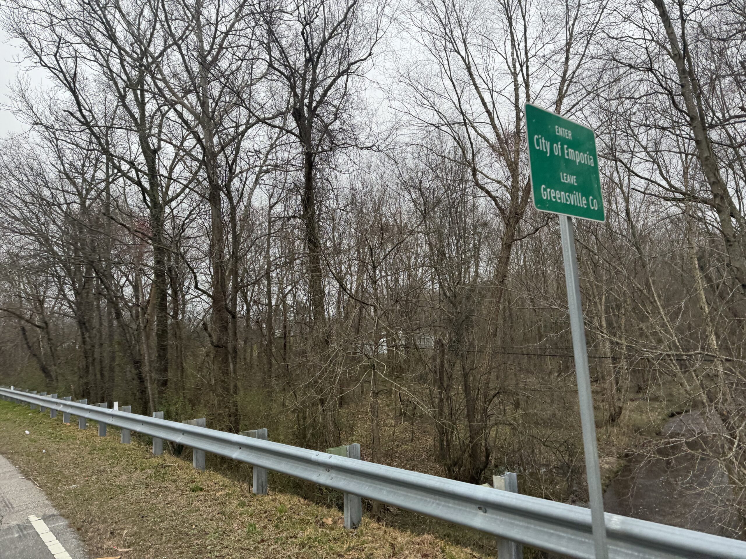
Day 1 – 258 miles from Staunton, VA to Emporia, VA
Day 2 – 171 miles from Emporia, VA straight to Kitty Hawk, NC
Day 3 – 288 miles from Kitty Hawk, NC to Danville, VA
Day 4 – 186 miles from Danville, VA to Abingdon, VA
Grand Total of 903 miles.
Day 1 – Staunton, VA to Emporia, VA via Lake Monticello
258 miles – 11,666ft climbing – 19hrs, 40 minutes
Long drive in beautiful weather followed by lots of rain
I waited until mid morning Monday to leave finishing up some things for work before heading out. The day was warm and sunny and perfect all day.
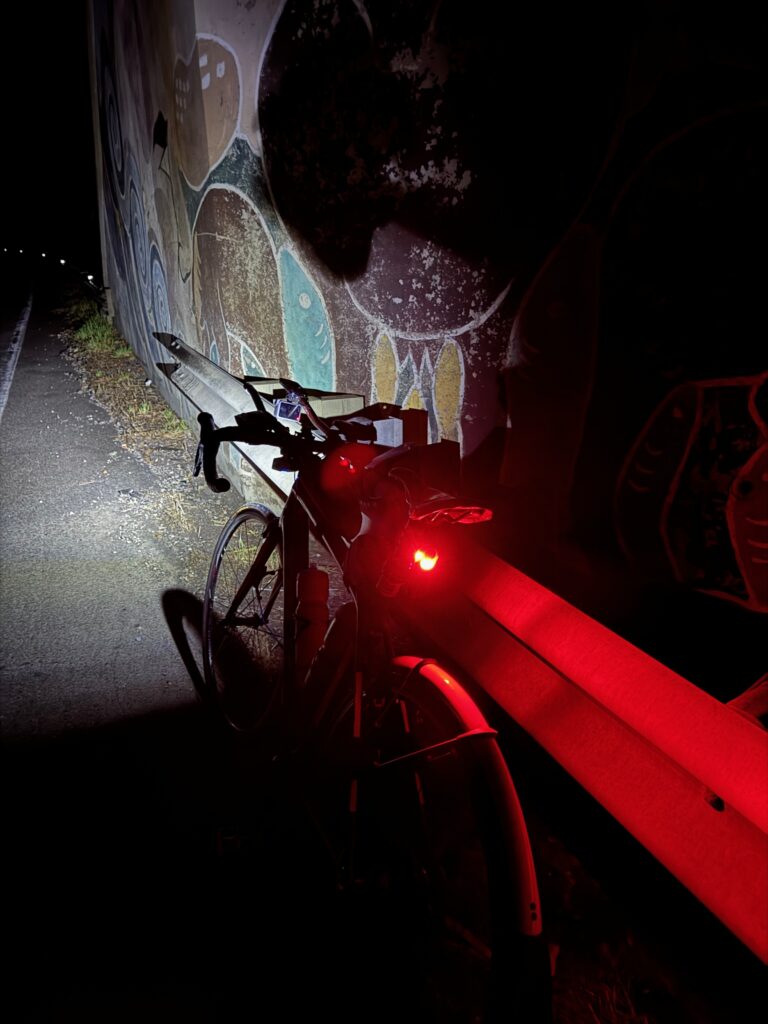
The weather forecast initially called for rain moving in from the east (weirdly) by 4am. But by the time I made it closer to Staunton on the drive from Birmingham, the weather forecast bumped up the rain to 2am. My initial plans to sleep for a bit went out the window, and I decided to start riding as soon as I got there hoping to get well into the ride before it started to rain and possibly even make it south of the approaching rain. Well, that was not to be. It started raining even before I left Staunton at about 10:30pm. It was very light misty rain, though, so I thought maybe it would pass. It did not. It got heavier such that by the time I made it through Waynesboro and started to climb up Afton mountain, I stopped under a railroad bridge to put on all my rain gear.
It was quite cold, too, for how much it was raining … hovering in the upper 40s and lower 50s. I kept hoping it would stop, but it did not. Even with all the rain gear on, I was wet and cold. My hands were freezing and my shoes were soaked through. I opted to ride without gloves so that they wouldn’t be wet all day when the rain was eventually supposed to stop. My hands did not function well as they got so stiff from the cold, and I debated about just turning around and driving down to Emporia, VA where I had a hotel booked and using that as a base for my next couple days of riding. But I couldn’t really work out the logistics for that without sacrificing a ton of riding. So I decided to persevere and try to make more of a direct approach to Emporia cutting off about 60 miles, still dipping down into North Carolina on the way, but not covering as many counties. Thankfully by the time I needed to start making some routing decisions, it had stopped raining so that things could dry out and I could navigate through all the phone screens.
Memories that get you through a cold, wet night
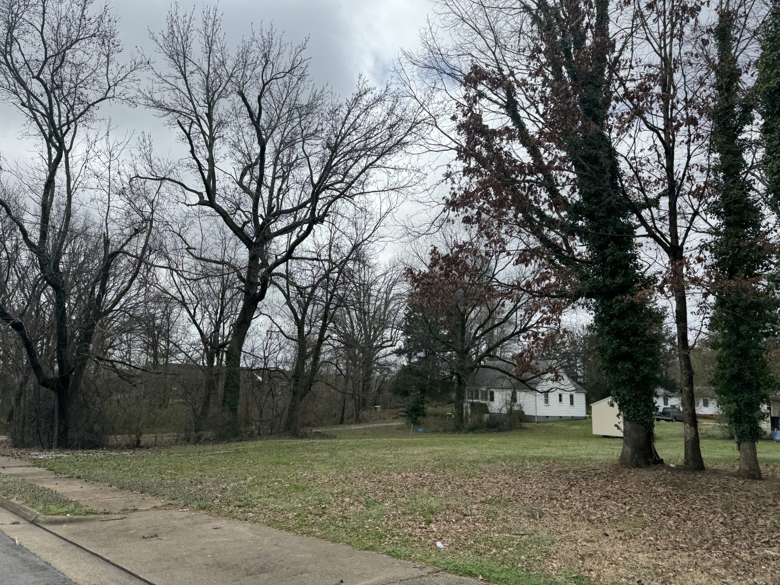
One thing that helped get me through the night was routing myself through Lake Monticello where I spent most of the summer every year growing up. The rain had lightened up to a mist when I got confused by a large roundabout and went the wrong way before turning around and making my way into the back entrance of Lake Monticello. I remember this back part of LM as quite hilly with the tennis courts we’d drive over to hit tennis balls and yellow jackets (they were everywhere). The tennis courts are gone, replaced with a couple houses. After crossing over between holes 14 and 15, I turned to climb up alongside hole 14 which was a steep dropoff downhill when playing. There was a bell at the bottom of the hill you rung to let the people up at the teebox know that you were done hitting and they could hit (you couldn’t see over the hill). I was debating about riding the golf cart paths backwards up the steep climb on hole 14 but there are so many houses now right next to the holes and my light would be quite bright and might wake somebody up or get security called (it was about 3AM). At the top of the road that paralleled 14, I debated about turning right heading to a dead-end and possibly hopping onto 13 to ride the cart path back to hole 12 along the creek where we used to see water moccasins while hunting for golf balls and then finally to the par 5 11th where my grandparents lived many years ago. But this would take you close to both the clubhouse and the maintenance shed and would be tricky to get over to see the actual house on the other side of the fairway. So not wanting to cause any problems and also still having well over 200 miles left to ride for the day, I decided to just take the roads. Still, I almost missed the turn to make it down to the little connector road that dipped down and then up to Beaver Dam Terrace (now renamed Fairway Dr … why would you change such a cool name?) and a left turn and there it was … my grandparents’ house from my childhood. So many summers spent on that porch playing board games watching it pour down rain or coming back after a round of golf and drinking a bottle of rc cola or pepsi, whatever was on sale that week. Or coming back from Beach #3, sunburnt and tired. The gravel driveway has been paved, and Fairway Dr is perfect tarmac instead of the rough chip/seal I remember learning to ride a bike on when it was still named Beaver Dam Terrace. It was 3AM and a security light came on as I rode by so I got a good glimpse of the house but with it raining again I didn’t even stop to take a pic. I just kept on riding, lost in so many memories. I’m tearing up now just writing about it. I have been so blessed with so many, many things, so many awesome people in my life and so many fortunate opportunities to experience this amazing world. Yes, there has been a ton of nastiness, too. But you take the good with the bad. This too shall pass. Not just the bad, but also the good. It all goes away in the end, I just hope to leave a mark in this world that is a net positive somehow.
Thoughts of turning around
I was pumped up with all the memories by the time I left LM, but it didn’t take long until the rain which had picked up again sucked the life back out of me — especially given the temps continuing to hover around 50degF in the pre-dawn hours and traffic starting to pick up. I started to debate my bailout options, again, and they all involved riding quite a ways back to Staunton through morning Charlottesville rush hour traffic in the rain. That was not going to happen. Also, the logistics of what to do then were not great. Better to just tough it out and make it to the end of Day 1 with perhaps a shortened route. So that’s what I did.
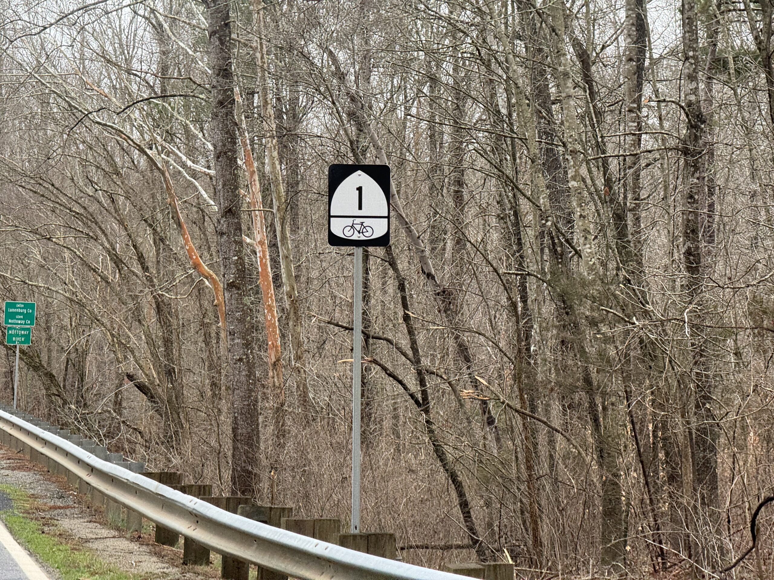
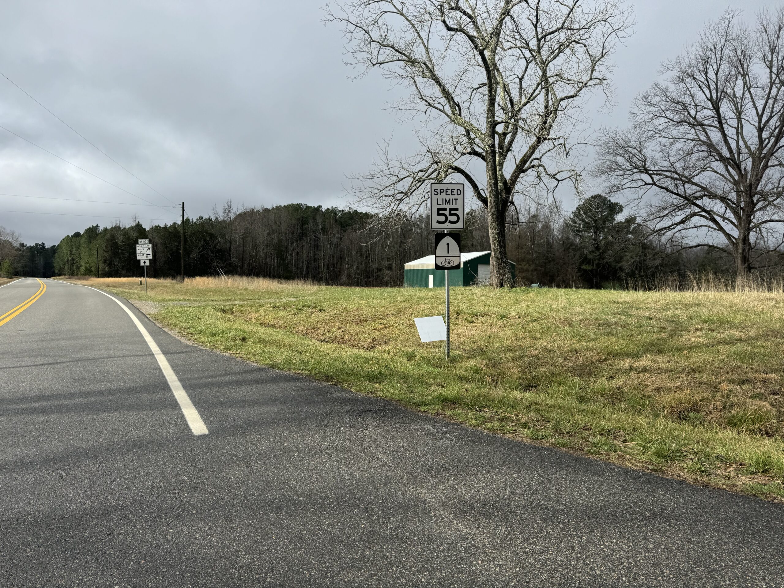
These were all new counties to me southeast of Fluvanna County. It stayed quite rural for many miles all the way into North Carolina. Rain stopped by mid-morning , and I enjoyed many miles of rural relatively light traffic roads. I ended up getting a pinch flat when I turned onto US Hwy 158. I didn’t run over anything. But the tire went flat instantly. I think the tube had been pinched for several days. But had finally had enough when I turned sharply onto 158. The events of Demon Copperfield take place near Hwy 58 in Lee County, which is referenced a number of times in the book. I spent a good bit of time on this ride on both highway 58 and its tributaries (US 158 and US 258) which cross the entire state near the NC/VA border and continue all the way out as the main road through the Outer Banks of North Carolina.
Pinch flat kindness
I don’t remember hitting anything at all, but the tire went from not flat to flat very quickly. And when I stopped to change it at the 158 intersection, I couldn’t find anything sharp in the tire at all. It ended up taking 30 minutes to change the tire because the tire was brand new and not stretched well and would keep pinching the tube underneath one section. Thankfully I would catch it before pumping it up too much, but then have to let some air out and try again. Eventually, I got it but I used up both CO2 cartridges to get it up to a high enough pressure (given all the air I had to keep letting out). I still had my pump, too, but it’s always nice to have more pressure to prevent future pinch flats, especially after already having one pinch flat.
During this time, I had four or five different people roll down their window at the intersection and ask me if I needed help. I declined and one guy said that he would be coming back this way in a little bit to check on me again. I told him that if I was still there working on the tire when he came back that I might need to hitch a ride. He said, no problem, but even with a 30 minute change, I was gone by the time he came back. No pictures at all of my flat tire or my setup changing it. This is a good sign that I was a little bit worried and trying to get it changed as quickly AND carefully as possible … no free hands to take a pic or set anything down.
About 30 minutes later, I was rolling again on Hwy 158 where traffic was very busy with many trucks. Thankfully, I was only on it for half a mile before turning onto another state route that ended up crossing on the north side of Lake Gaston heading towards Emporia. With Hwy 158 veering to the south around the lake, this state route also was quite busy. It had a decent shoulder, though, and traffic was nice. I had about 40 miles to go and spent the rest of those 40 miles wondering if my rear tire was holding air. I typed in “Walmart” to google maps and found that the nearest one was pretty close to my hotel in Emporia.
I made it to Walmart by about 6pm, and it was busy with lots of people standing around outside the store, but I ran in as quick as I could with my bike unlocked hoping to buy replacement tubes and CO2 cartridges. Unfortunately, they did not have any CO2 cartridges and only one tube that was the right size. They had a $10 relatively small floor pump and I seriously thought about buying it and strapping it to my backpack. But there were also two more tubes for cyclocross tires (35-42mm) so I got those as well wondering if the wider tube might help with pinch flats since I wouldn’t be able to pump it up as much with my hand pump if I flatted again. I need not worry the next day as I wouldn’t flat again until pretty far into the third day of riding. That one was a copper staple that was still gouged in the tire when I went to change it. More on that after Kitty Hawk and Kill Devil Hills!

Day 2 – Emporia, VA to Kitty Hawk, NC via the Wright Flight Memorial
171 miles – 2,392 ft climbing – 14 hrs, 45 minutes
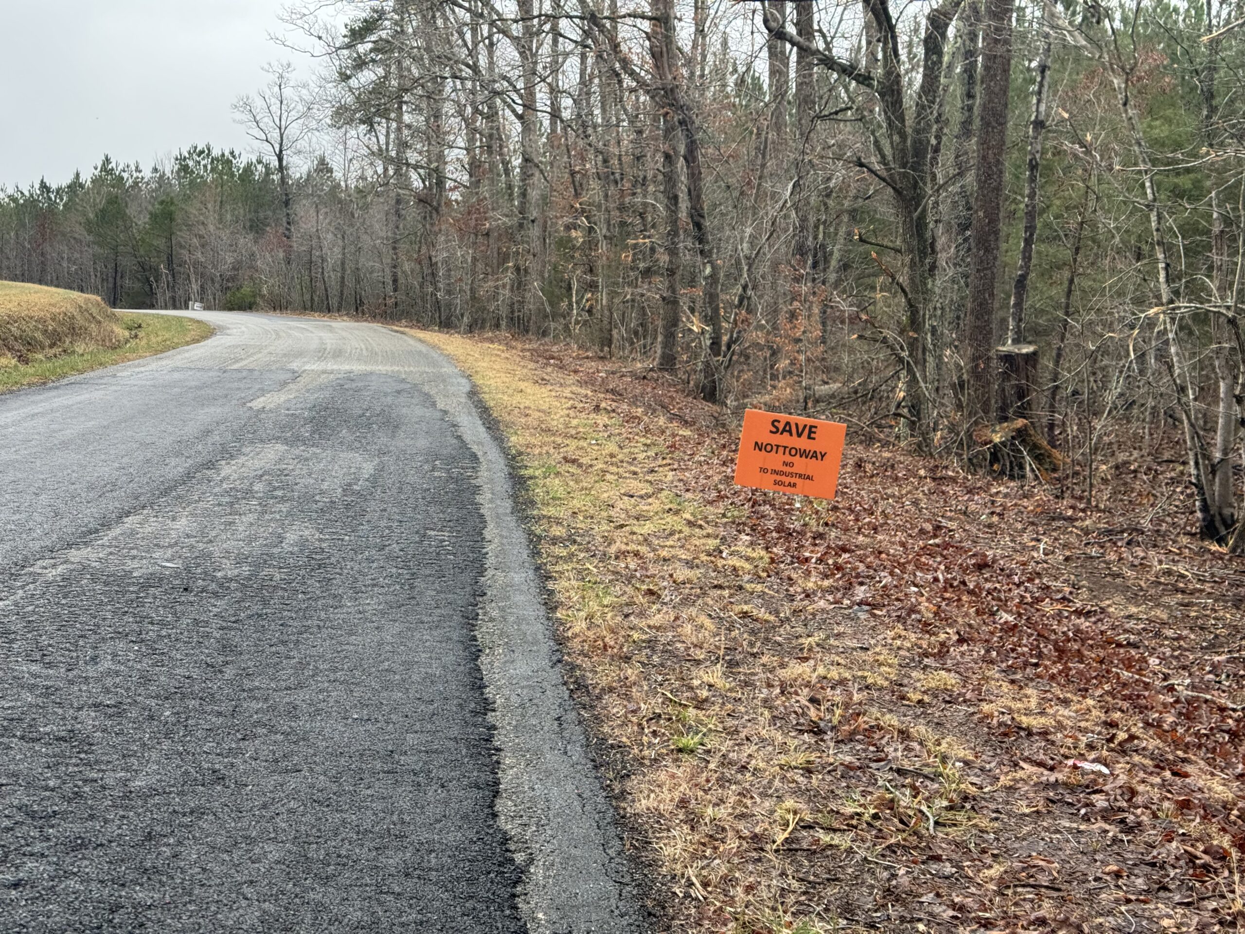
This was the day that was supposed to have the most rain. I was out the door not too long after midnight and enjoyed several hours of rain-free riding. It was fast, good temps, and fun. Then an hour or two before sunrise it started to rain and it basically did not stop raining the rest of the day except for a couple times where it was just mist in the air. Most of the day it was raining. I had to do some re-navigating several times as I was trying to shorten the route and Google Maps refused to take me on one of the busy roads and instead tried to route me through the Great Dismal Swamp on one of the levees. The levee was not easily road-bikeable (too much gravel) — especially given the low rear tire pressure I was running and fear of pinch flatting again.
The swamp itself and all the creeks leading up to it were fun to play the “alligator or log” game where every log could be an alligator but is usually just a log. I knew that there are gators in this part of North Carolina, but I was pretty sure they were limited to a state park I was going to visit the next day. Still, if they are in the state park, they could be outside as well! In the cold rain, I wasn’t expecting to see any, though. And I’m pretty sure everything I saw was logs. Lots of turtles on logs, though. And lots of birds. So many blue herons. I crossed through the swamp on several miles of a fast stretch of US-158 that had so many trucks. Even with a small shoulder, I pulled off the road when there was oncoming traffic with a truck coming from behind at the same time. Most of the time the traffic was timed OK so I didn’t have to do that, but it was definitely not a road I would route myself on again in the pouring down, gray rain.
After a few miles, I left Hwy 158 to make it around to a couple of state highways that were relatively low traffic given the proximity to two much larger US highways (where most of the traffic was). I did have to rejoin with US 158 again, which is the only road that makes it all the way to the outer banks. There were a couple side roads off of it, I was able to use including one that took me straight through a forest to what I thought was the ocean, but was actually just a large section of Currituck Sound. These sections of US 158 were all four lane with a much wider rideable shoulder.
I had a nasty headwind the entire time I was heading south out onto the outerbanks proper, but the rain had mostly stopped. So it was slow going. By the time I made it to the hotel on the north side of Kitty Hawk, it was threatening rain again. I checked in so I could drop off my backpack before heading a few more miles farther south to Kill Devil Hills. By the time I left, it was pouring down rain. I made it over to the beach road which was flooded in a few spots but was able to ride one of the boardwalks between the dunes so I could at least get a glimpse of the Atlantic Ocean proper. Then I continued on to the memorial. Since it’s a national park, I knew there would be an entrance fee, but it would be worth it. The sign said $10, but the booth had a post it note that said this booth is temporarily closed. It was the only booth to get in and the gate was wide open, so I took it to mean that with the nasty weather during the middle of the week, they were letting people in for free!
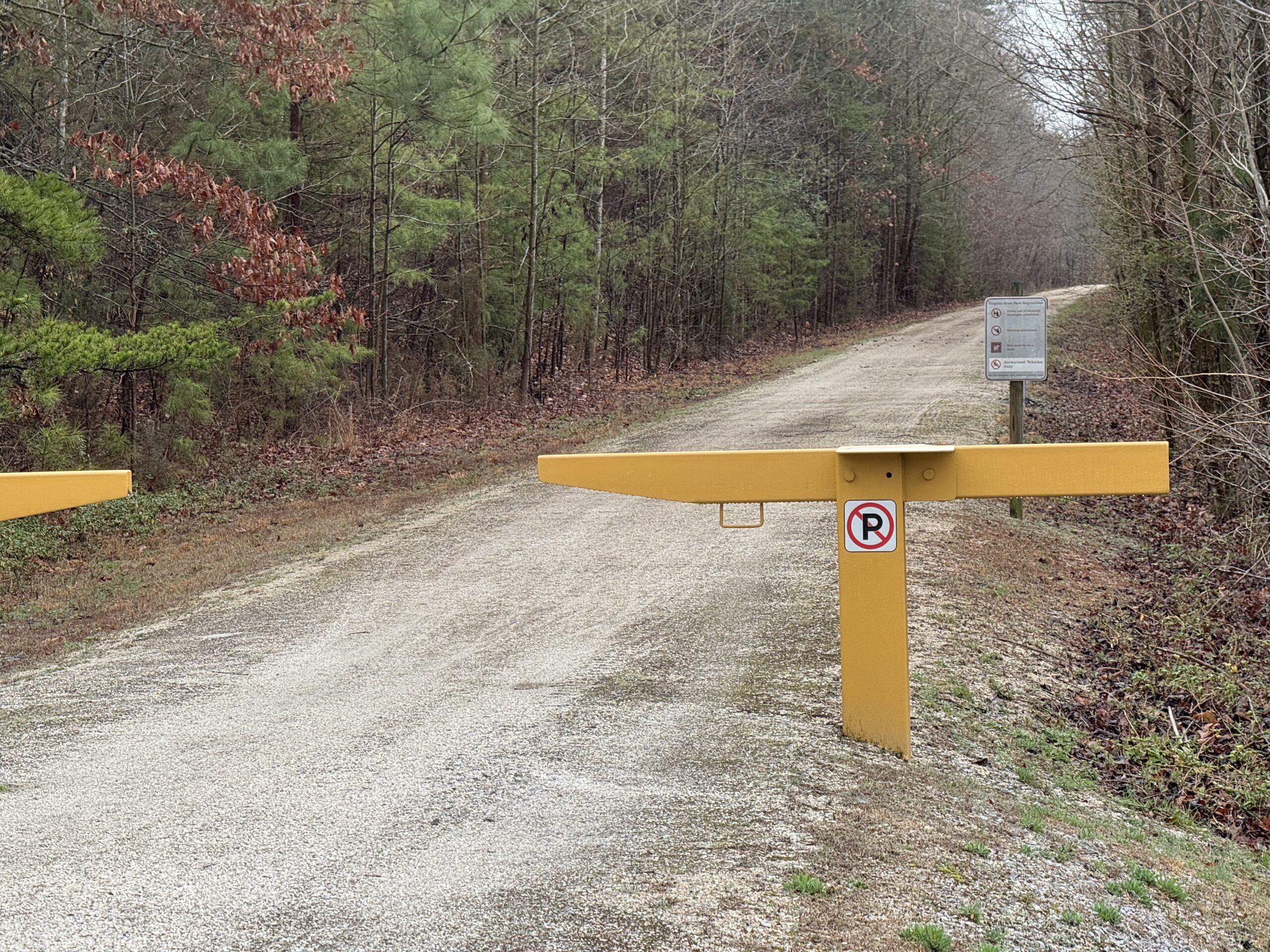
I knew from looking at the topo maps of the area ahead of time that the hill was quite large. They had all kinds of “no bicycling, skateboarding, etc…” signs at each of the possible places you could enter the hill to climb up to the large statue at the top. I was the only person anywhere in the park, but I was also in full view of the ranger station which did have a few park vehicles in it. So I didn’t want to risk trouble and rode all the way around hoping for an actual road to the top on the backside. But alas, it was all sidewalks. I wanted to walk my bike up to the top, but figured that might still cause problems. So I walked with it about 1/3rd of the way up when I was still low enough behind some trees to be obscured from the park rangers view. Then I walked the rest of the way up without the bike. It was impressive all you could see from up top, and it was especially fun to imagine that first flight taking off from the top of the hill. Signs said the flight lasted 12 seconds which seemed like it would carry you several football fields away from the top given how high it was.
Back on OBX everywhere on billboards, eventually figured out that stands for Outer Banks. Also, they all had mile markers indicating where the shop was located. MP 8.5
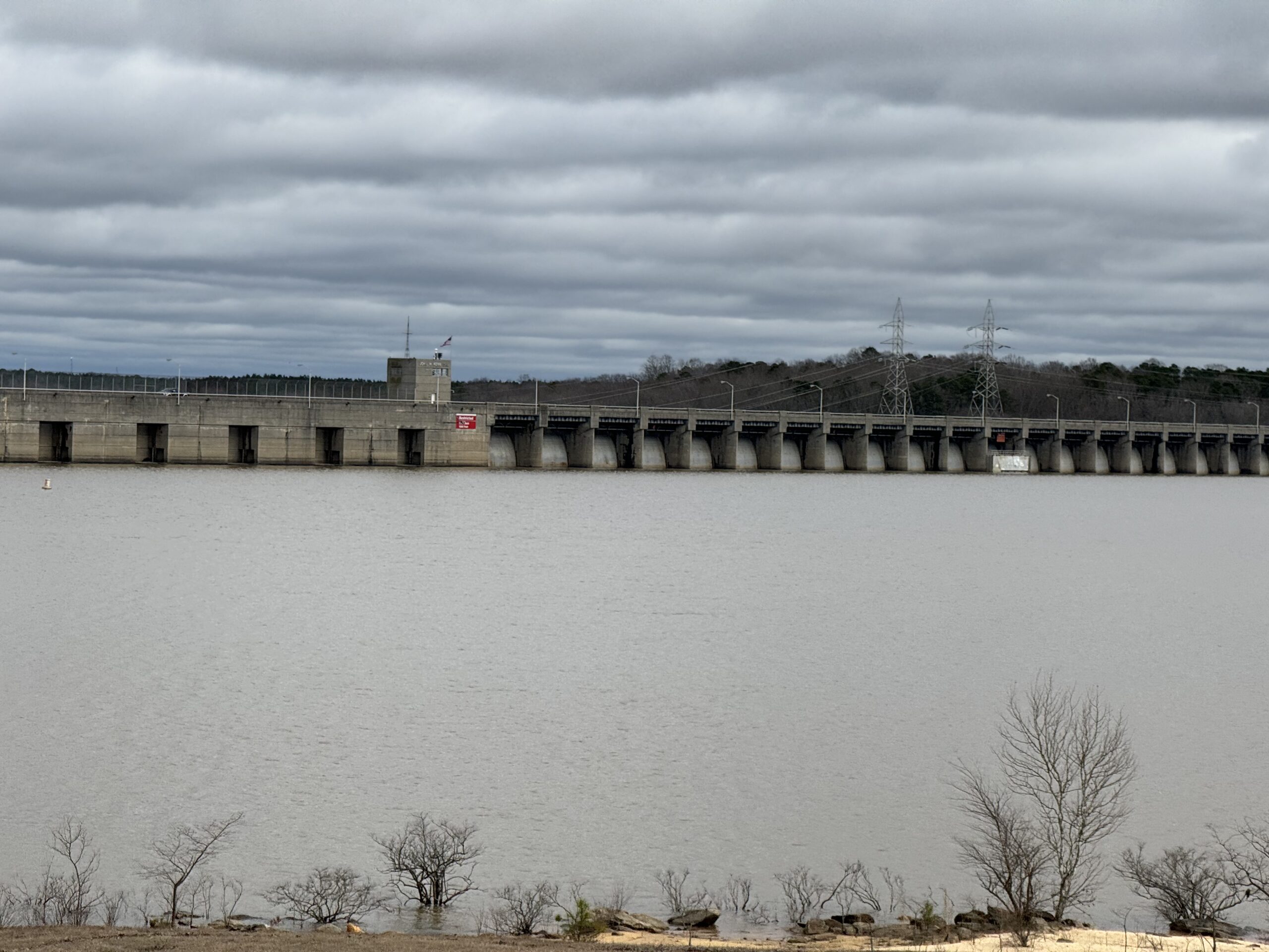
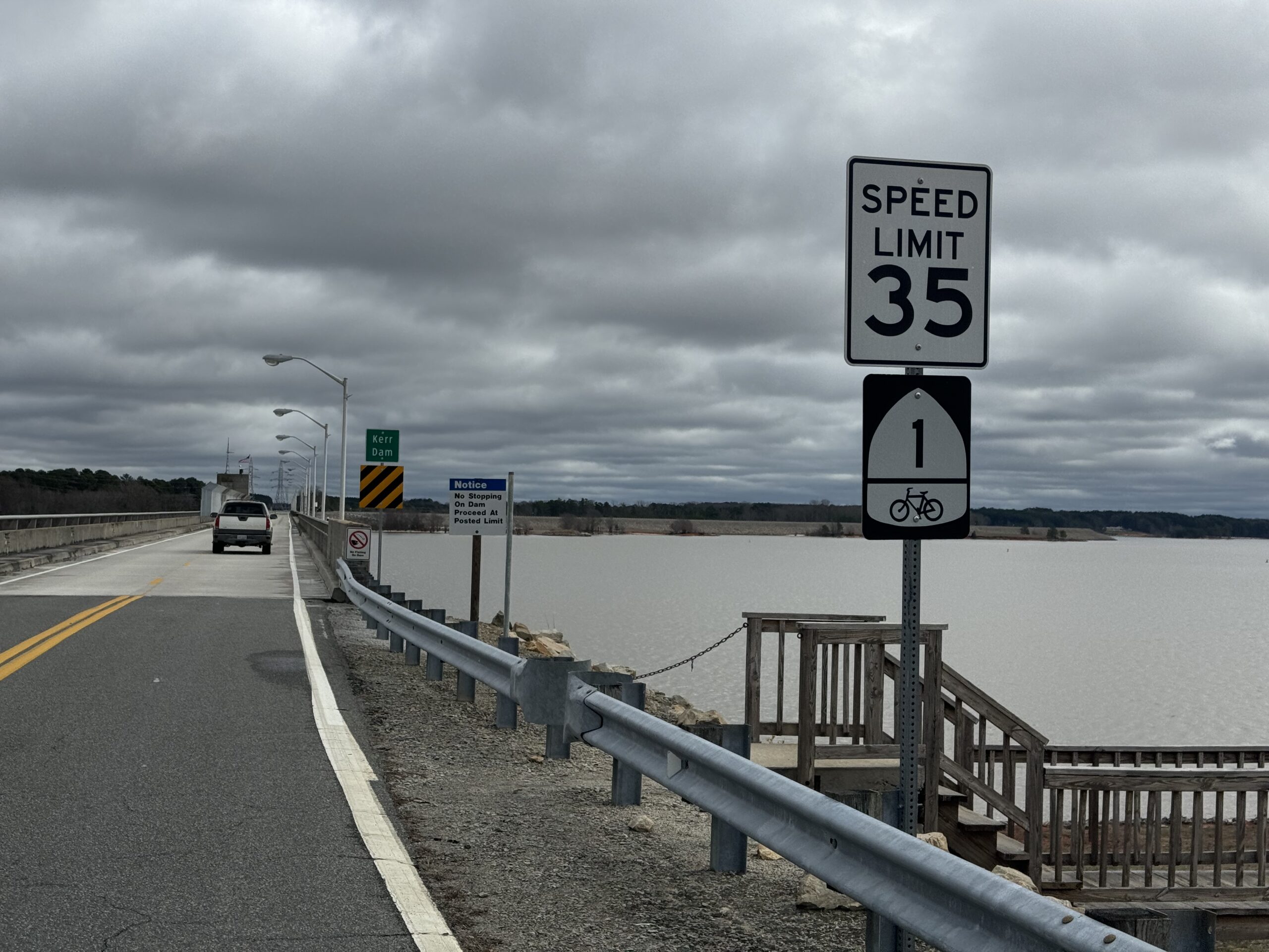
Day 3 – Kitty Hawk, NC to Danville, VA via North Carolina gators
288 miles – 7,976 ft climbing – 22 hrs and 14 minutes
Day 4 – Danville, NC to Abingdon, VA through the big mountains in the rain
186 miles – 14,049 ft climbing – 14 hrs and 52 minutes
Leave a Reply