Intended route – 885 miles from Hoover, AL to Staunton, VA w/ ~50k ft climbing
Actual route – 760 miles from Hoover to Staunton w/ 44k ft climbing
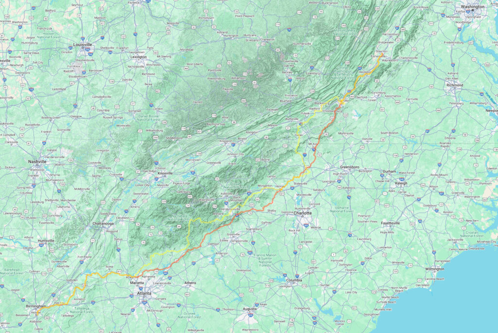
At the end of September, Hurricane Helene strengthened rapidly in the Gulf of Mexico and then came ashore in a rural part of the gulf coast of Florida before heading north across Georgia, South Carolina, and curving back around across North Carolina into Tennessee dumping record amounts of rain over the entire Appalachian area.
Fast forward almost three months later, and I found myself detouring around closed roads, hike-a-biking through peanut butter mud, turning around at missing bridges, and riding on one-lane roads with the other lane at risk of collapsing from landslide washouts. And this was all on my alternate route that after a current storm forced me to cut day 1 short or risk hypothermia when the forecasted two hours of drizzle turned into 12 hours of all-day cold rain and fog.
Why was I biking to Virginia? My daughter had tickets to a show last night in NYC and needed someone to look after her pet rabbit. Also, after she gets back from NYC today, I can help her drive home to Alabama for Christmas break. NYC represented some logistical headaches that my amazing grad school friend and roommate, Radu, was able to help resolve. Thank you Radu!
Day 1: rain, rain, and more cold rain
Intended route – 267 miles from Hoover, AL to Dahlonega, GA
Actual route – 200 miles from Hoover, AL stopping early in Woostock, GA
I delayed my start on Day 1 choosing to leave at midnight instead of 8pm the night before to wait out the main part of a weather system covering nearly the entire central part of the country bringing rain from the Gulf of Mexico and snow in Wisconsin, Chicago, and Michigan.
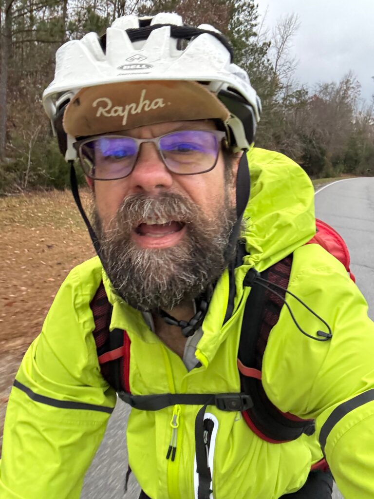
I left in a light drizzle that was stopping, but very wet roads from the rain that had just come through. The roads had even started to dry a bit by the time I made it past Leeds about 30 miles into a 267 mile ride from Birmingham, Alabama to Dahlonega, Georgia. Unfortunately, I caught up with the back end of the system and ended up riding along with it for 200 miles before stopping in a gas station, drinking coffee, shivering, and on hold with customer service to cancel my hotel reservation. Thankfully, they did, and I was able to rebook in North Atlanta (Woodstock).
Day 2: memory lane and Hurricane Helene damage through NC/SC
Intended route – 259 miles from Dahlonega, GA to Hickory, NC
Actual route – 270 miles from Woodstock, GA to Hickory, NC
I was able to get caught up by re-routing myself directly from Woodstock, GA to Hickory, NC using Google Maps. In my original route from Dahlonega, I had routed myself up into North Carolina missing South Carolina completely. But this was more mileage and more climbing from a starting point much closer to Hickory than basically the north side of Atlanta. Unbelievably, after a relatively long hotel stay from 3pm to midnight, it was still drizzling and HEAVY fog as I left the hotel. This made for very wet roads, but the temperature was a bit warmer at midnight than when I had stopped.
PEANUT BUTTER MUD OUTSIDE GAINESVILLE, GEORGIA
I got into a rhythm through the endless hills near Lake Lanier and had made it 60 miles up through Gainesville, Georgia long before morning rush hour traffic when I ran into my first major obstacle – a couple miles of dirt/gravel road with 1/2 mile of hike-a-bike peanut butter mud in the middle. I saw the “Road Closed, Local Traffic Only” sign and decided to go anyway thinking that worst case I would turn around. But then shortly before making it to the closed section, I went down a steep hill and was chased by some dogs. So I decided to commit to making it through and rode around the first set of “Road Closed” signs. Yes, that’s right, GA DOT really tried to warn me as I would come across a second set of “Road Closed” signs about a mile farther up. Initially, the dirt was mixed with some sort of gravel so that none of the mud was sticking and was kinda smooth in places. I was still generally going downhill so I was riding pretty fast when I saw a set of signs up ahead shining in my headlights (it was still a couple hours before sunrise). I thought to myself, “oh good, that was nothing!” thinking I had made it through the closed section.
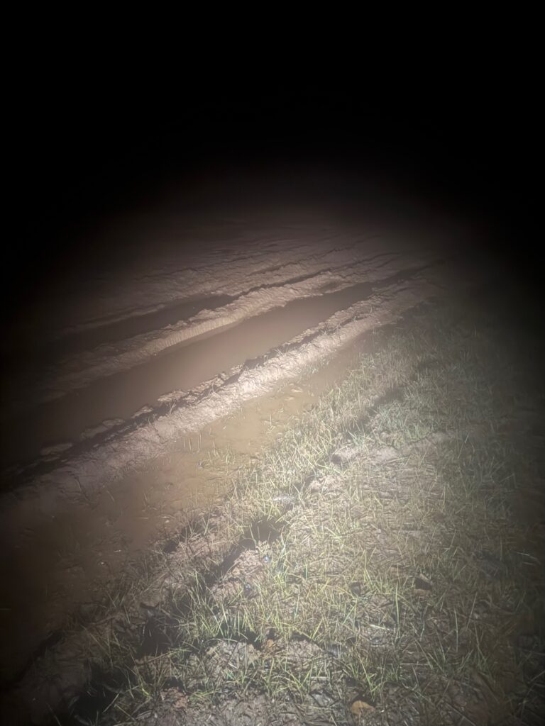
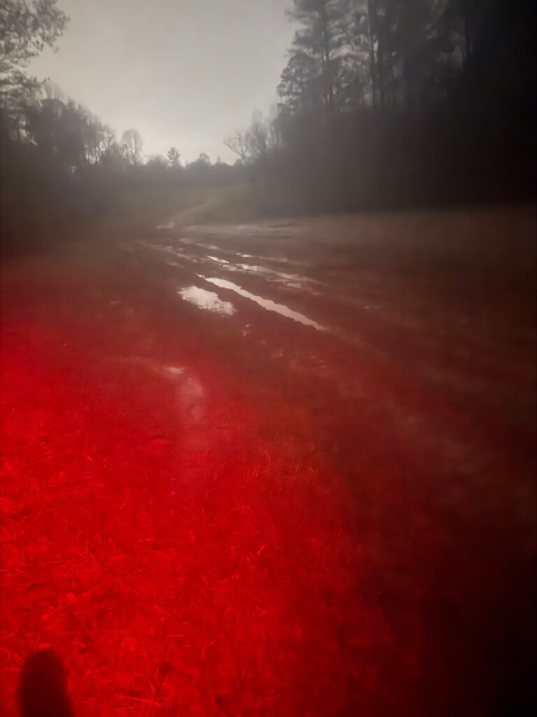
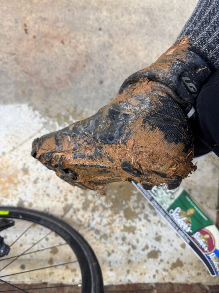
But as I approached, I realized it was another set of “Road Closed” signs. This was at the top of where the road took a steeper turn downhill. I went around those signs and the road was immediately less gravelly and much more dirt/muddy. I thought “this is not good”, but continued anyway. At first it was steep and still rideable. As I neared the bottom going slowly riding my brakes hard because I was worried about what I would find, sure enough, I could see immediately in front of me what I dreaded – nasty peanut butter mud. I slammed on the brakes coming to a complete stop with about half a wheel revolution into the mud. That was enough to completely coat the tire in mud. I stepped off the bike into “suck your shoe” off mud and mucked my way over to the side to the steep embankment 50 foot climb up to some railroad tracks. There were tons of small trees I could hold onto as I decided to climb up to the tracks but I slipped and fell early and decided that I wasn’t 100% sure if the tracks were at the top or if they might be down the other side. I decided to make my way sideways through the trees a few steps and then back down to get around the worst of the mud and onto some grass.
I was able to carry my bike and stomp through the grass until I reached the landslide area, which is presumably why the entire road was closed. They had already planted grass and a netting over the steep slide but apparently hadn’t worked on the road yet (hence all the mud). I was able to make my way carefully across and lo and behold at 4:30 in the morning here comes somebody on an ATV as I resumed my hiking in the grass alongside the mud. The road was quite wide from how they had cleared everything out. I figured he would have said something to me but he just drove his ATV through all the mud on by me up the hill. Thankfully, on this side of the mud, the hill out of the valley was shorter and less than a quarter mile later I was able to hop back on my bike after squirting water to get the mud off my SPD cleats, ride the rest of the way up and between the road closed signs on the far side. I had made it!
crossing South Carolina
In this new route, I went right through the corner of South Carolina where I spent all my years riding while a student at Clemson, and even more recently where we would spend fall break vacation when our kids were little. Each mile I rode brought back memories from some adventure such as the three 200 mile roundtrip rides I did to the top of Brasstown Bald from Clemson, or the many times climbing Sassafras Mountain, or numerous adventures up to Highlands, NC (one time where I had to beg an apple off a farmer after getting bit by a dog while riding ahead of my exhausted friends after many miles of gravel on our road bikes to get the car to come back and rescue them) or Whitewater Falls or Ceaser’s Head. Or perhaps the best memory of all was passing by the spot where I turned around to head back to Clemson on my very first bike ride in South Carolina as an 18 year old freshman in college.
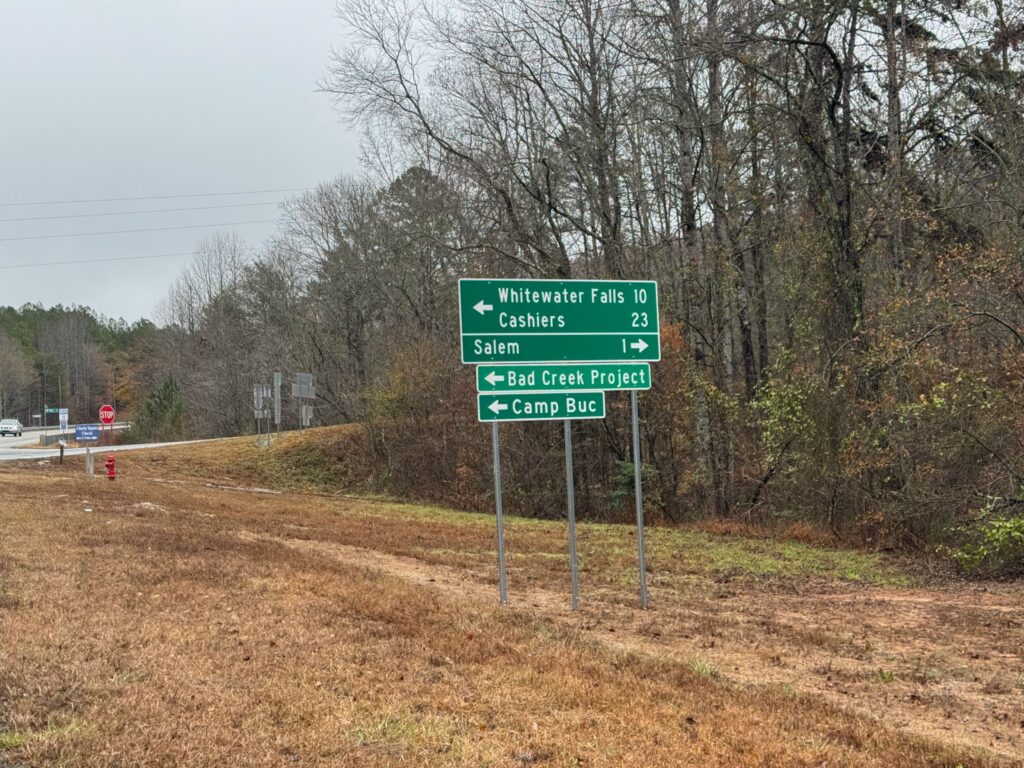
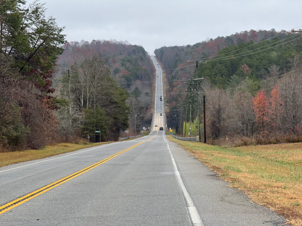
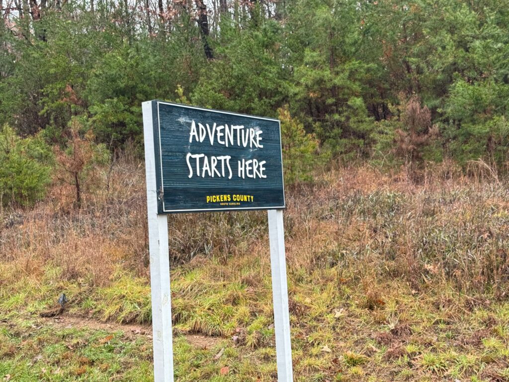
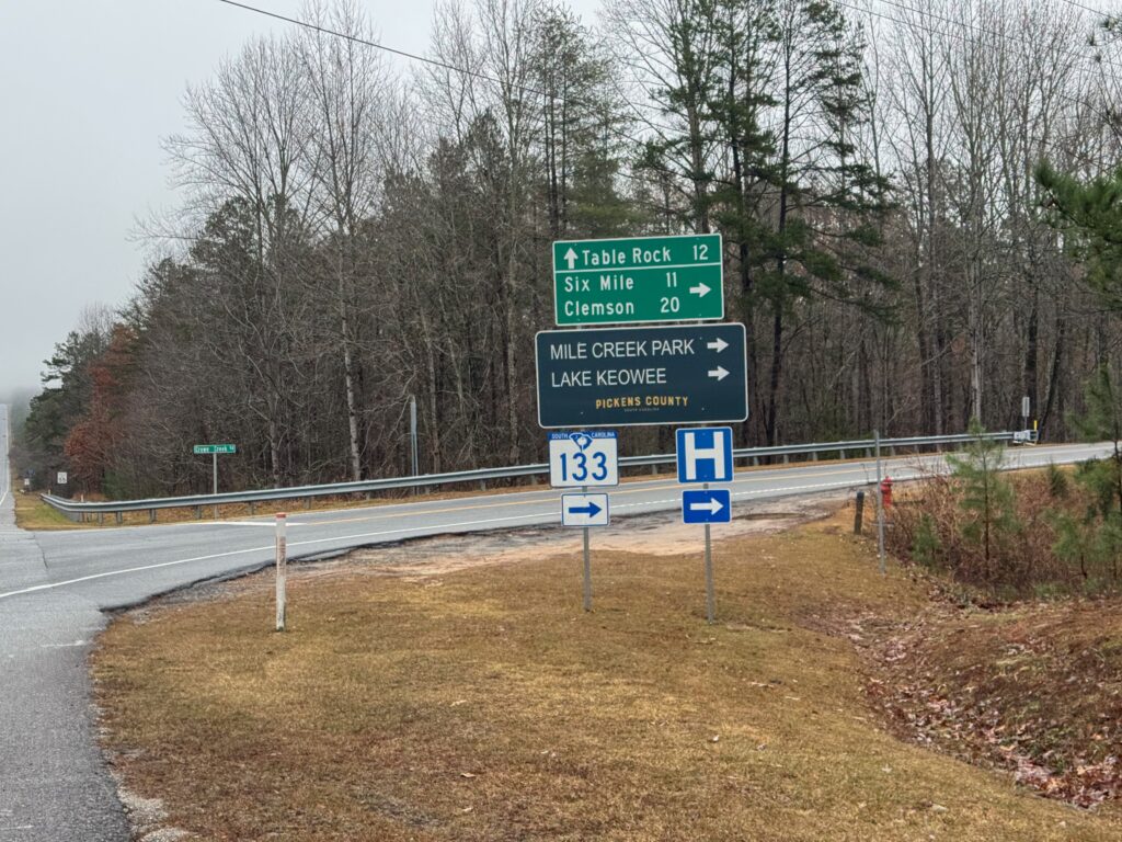
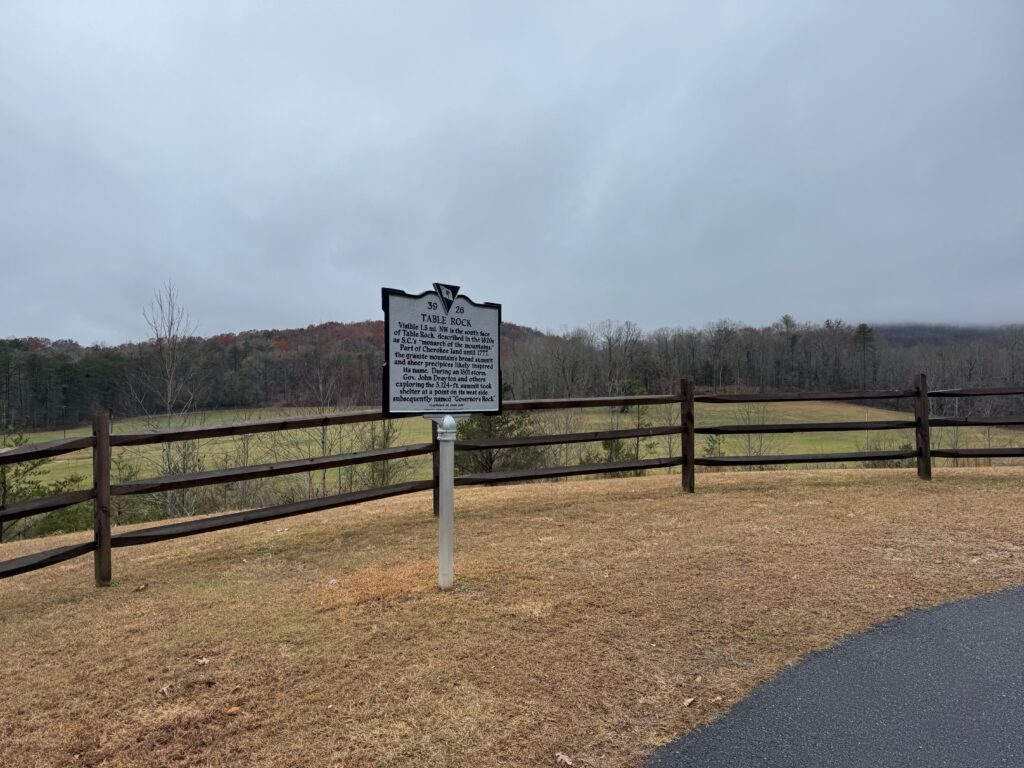
This was all on SC-11, the scenic highway which all of those adventures crossed over but rarely used because it does not forbid commercial traffic. Even back then in the 90s there were a LOT of trucks that drove very fast. There is a bike lane now, and I felt fine on it, but there were still a lot of trucks and traffic for a Monday from about 10am to 1pm crossing through Oconee, Pickens, and Greenville counties. There were tons of memories, but no views because of all the cloud cover.
As soon as I left SC-11 in Greenville county, I hit the Saluda grade, which I had only ridden a couple times during the Dividing Waters Road Race. I ended up having one of my best results as a college student in a USCF Pro/1/2 field with a strong Navigators pro team presence. I finished somewhere in the top 10 and took home a little bit of prize money which was unusual for me to finish well enough to win any money in my college racing days. The race finished at the top of a long climb to the SC/NC border known as the Saluda Grade. This area is popular with Greenville cyclists and is part of the Saluda Bakery ride, which I never did while I was a student at Clemson because it was a bit far away to even get to the start.
My memories were vague, but I thought I remembered someone saying during the race that the Bakery Ride split off from where we would be finishing. And sure enough, I reached the spot where there was indeed a split, which confirmed my memory. The road was closed at the split presumably with the top of the mountain impassable.
This makes sense because all along the climb there were spots where the road was down to one lane with washouts on either side of the roads. Usually the lane on the downhill side was the part closed as you could see the potential for heavy vehicles to cause the road to give way. Prior to this spot down in the valley I had noticed an increase in the number of trees down with many of them piled alongside the road. It must have been a nightmare in the immediate aftermath of Hurricane Helene. I noticed on the wikipedia page that the NC DOT made an announcement that “ALL ROADS” in western North Carolina should be considered closed until further notice.
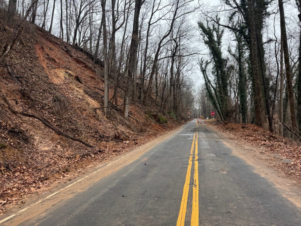
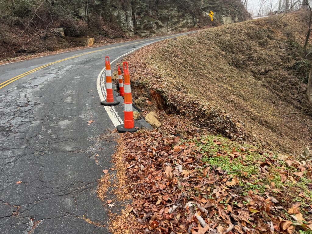
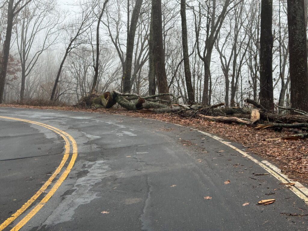
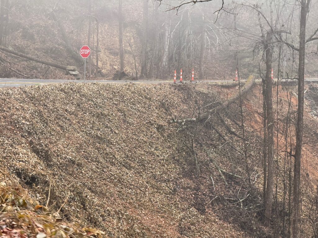
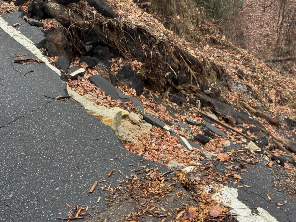
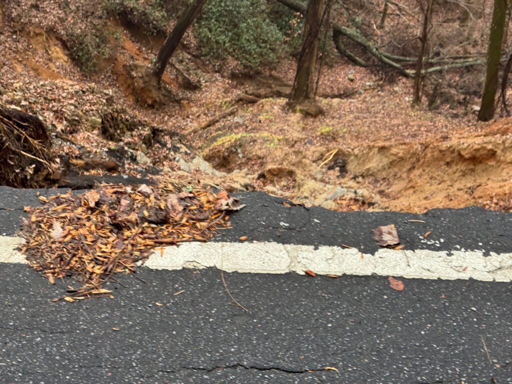
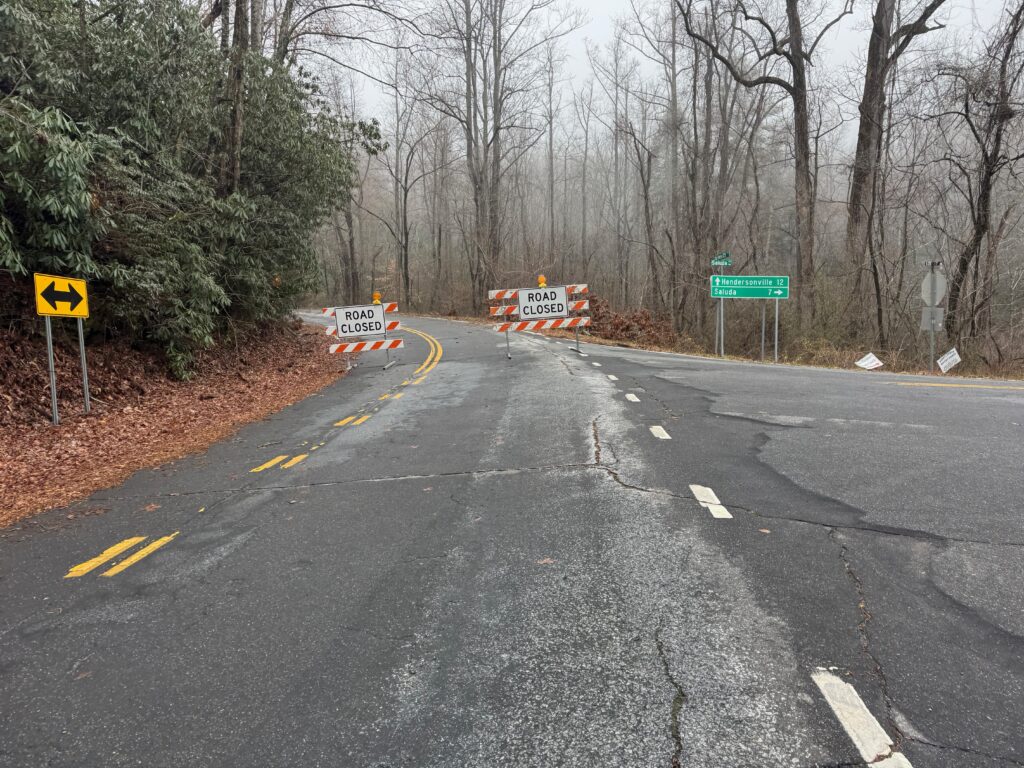
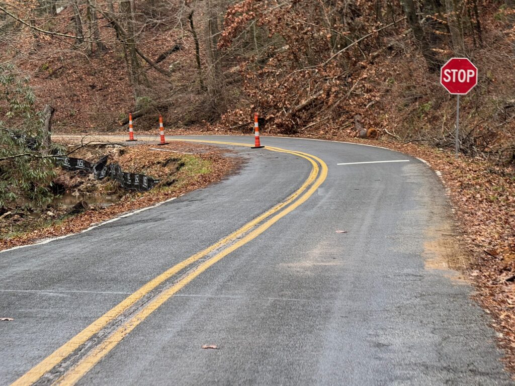
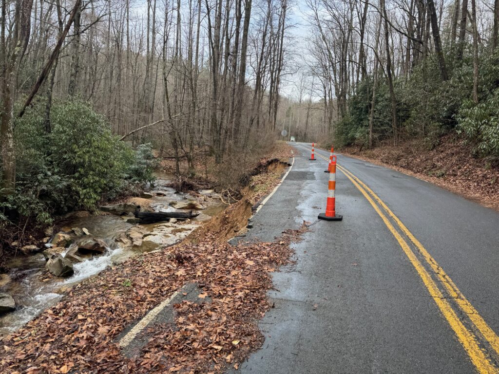
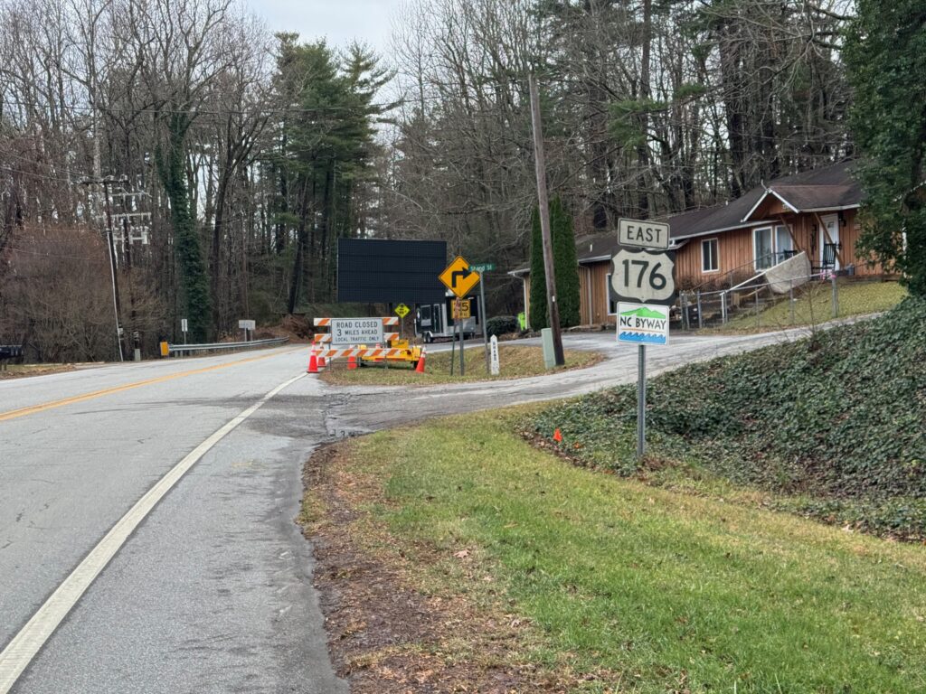
But back to the climb up to Saluda, NC, I was happy to be on a new road I had never ridden before and on my way up to a town I had never been to before. The sun finally was peaking out … for the first time since I started riding 36 hours earlier. I also had a bit of a tailwind as I made my way across the top of the ridge and descended down into the town of Saluda. I was pressed for time hoping to make it all the way to Hickory still 100+ miles farther away so I had no plans of stopping at the famous Wildflour Bakery (the turnaround spot for the Saluda Bakery ride).
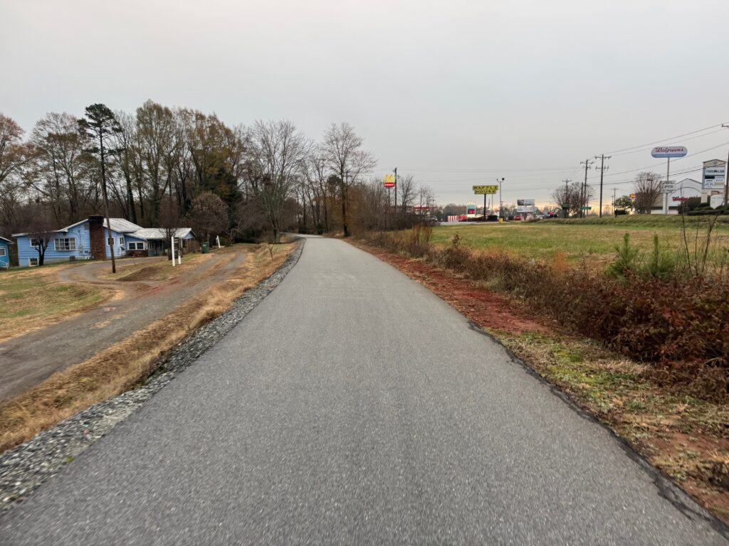
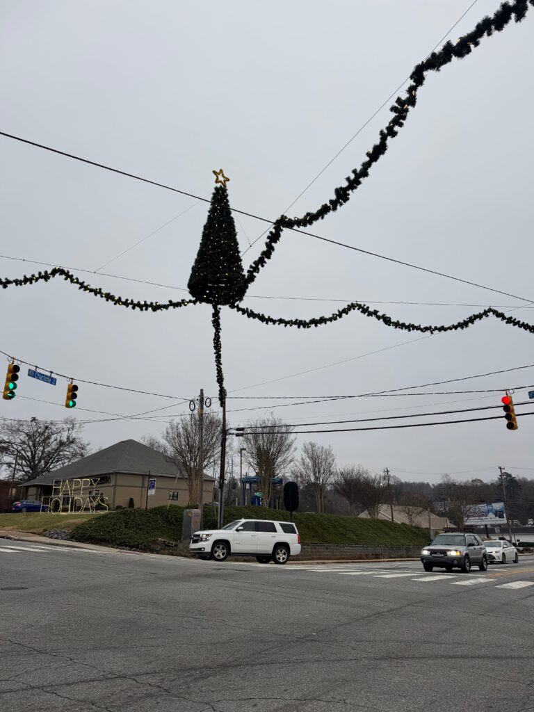
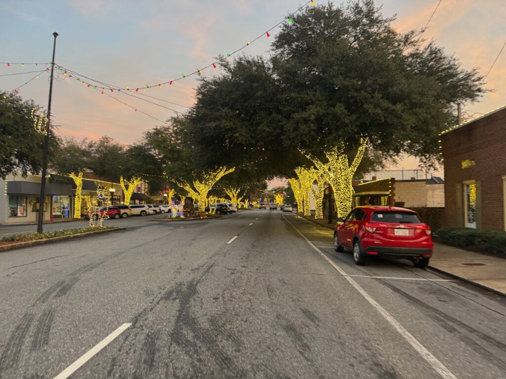
After-school traffic started to pick up as I made my way out of town and through the next set of several towns with Christmas lights starting to come on past sunset. Steeps climbs and descents gave way to shorter hills to longer flatter sections of riding including one five-mile stretch of rails-to-trail between Forest City and Rutherfordton. After the rails-to-trail there was heavy rush hour traffic
A BRIDGE OUT IN THE DARK AND CRUEL, SURPRISING CLIMBS
These more gently rolling and even flat sections of riding made the next section seem even crueler. So, basically, I turned left and instead of heading East on the busy road I had been on, my route took me back north again. And within a few miles I had noticed it had gotten much hillier … but it was long 1-2% climbs for several miles followed by a sharper (and shorter) descent. So you felt like you were crawling and finally got a break before beginning to crawl again almost immediately. This wouldn’t be too bad except a dense foggy drizzle had settled in with relatively mild temps. So at this point I was overdressed for the agonizingly slow 200-300 foot endless and a bit underdressed for the descents – all the while on busy roads with fast approaching cars in dense fog. Fun times.
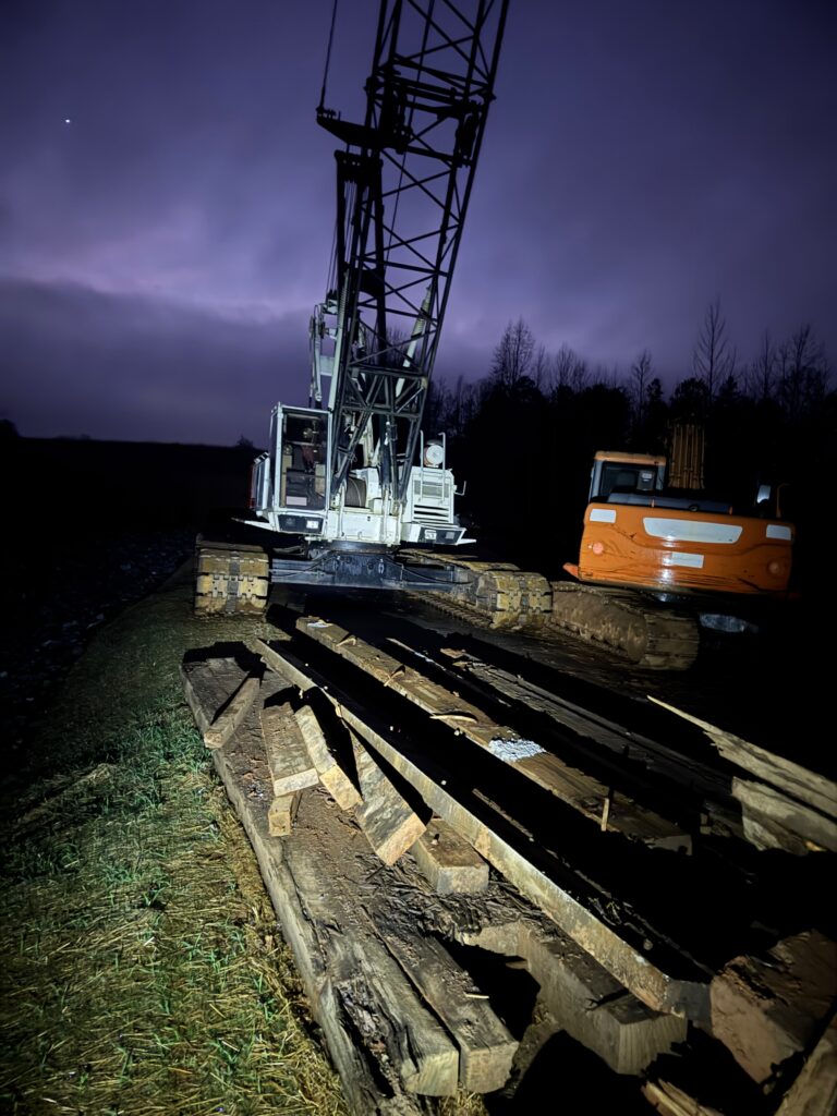
Also, I was well over 225 miles into my ride when I came down one of those sharp descents to a “Road Closed” sign and a bridge completely gone. I first made my way around the construction equipment thinking I could probably get across whatever was happening, but then I noticed that where there should have been a bridge was a whole lot of nothing. In the dark, I didn’t want to risk climbing down a steep muddy embankment and wading across the creek, which I couldn’t even see. So I turned around, climbed back up the steep hill and proceeded to watch my “distance to go” climb up by several miles each time Google Maps auto-rerouted me while I was following the detour signs.
Also, I ran out of water through here. But thankfully I could tell from my maps that there was a town not too far ahead where the detour was taking me. In the town, I stopped at a gas station where a man who had recently moved from Nepal was very chatty and told me that he was a certified Wilderness First Aid guide and used to help with base camp treks to Everest! He came outside since I was the only person there after I had bought my supplies and chatted while I refilled my bottles and stuffed my backpack full of food. He was looking at my filthy bike and said something along the lines of, wow, that has seen some adventure. As much as I would have liked to continue chatting and hearing his stories from Everest, I was also sleepy, tired, wet, hot and cold at the same time, I just had to get to Hickory so I could get at least a little bit of sleep before leaving early enough to get to Roanoke the next day to then get a little bit of sleep to make it to Staunton on time the day after that.
It’s a balance, you’ve got no real schedule, but a rough timeline. You’ve got unknown obstacles ahead of you. Do you turn around to take a picture of a cool sign or scenery? Do you stop and chat with a former Nepalese guide? The answer to the second question is an obvious “yes” … but for how long?? I think our 10 minutes of chatting was plenty long enough to realize that the man I just met in a tiny “no stop light” town in rural North Carolina somewhere between Saluda and Hickory was a very cool person with so many stories to tell and also enough to realize that there is no way I could stay to hear all those stories as amazing as they might be … because I have my own stories to live and create and experience and a somewhat time-limited number of untold adventures awaiting ahead. You just got to make sure you don’t miss the current adventure trying to get to the next one … as a tiny example of that, I did not turn around to take a picture of the “NO TRESPASSING, EXCEPT FOR TROUT FISHING” sign on the final day because it looked like it was about to rain and I was trying to make it to good cellphone reception area to make sure Analise check-in in NYC went smoothly.
Back to Hickory, after many more climbs through the fog, I finally made it into the outskirts of Hickory with traffic picking up quite a bit around 9pm. It was mostly a descent into town followed by steep hills with I-40 off to my left. Next to my hotel was a Zaxby’s that had apparently closed at 9pm (it was 9:30 by this point). But there was also a Waffle House where I got a to-go order of my favorite — sausage hashbrown bowl with a reece piece waffle (pb and choc chips) — to take back to my hotel. Check-in went very smoothly except I dripped all over everything from how wet I was from the heavy fog. She said not to worry that she would bring out the mop and gave me a voucher for free breakfast, which meant I for sure was going to stay for it and alter my route again to chop off as many miles to make up for the late start in the morning.
Day 3: deja-vu from the Tour Divide on the Blue Ridge Parkway
This day started out great with free, hot breakfast in Hickory … except that meant I wasn’t leaving until close to 6:45AM which meant morning rush hour traffic. Thankfully, I was heading the opposite direction of most it in the hilly northeast side of town. Still, there was enough traffic that I had to pull off several times. No rumble strip, but only a few inches (not feet) of shoulder to try to get out of the way.
Morning traffic gives way to hilly farmland
Eventually, I was far enough out of town that the traffic eventually disappeared to quiet farm roads. Also, the fog had finally lifted, the sun was out, and I had a NICE tailwind blowing me along up all the hills. And there were a bunch. Here’s how that played out … you’d be riding along the top of a ridge thinking that it was flat up ahead … only to realize the trees you see in the instance are on the opposite side of a steep valley … so flying down into the valley you go to then crawl up the other side for a mile or so before thinking you’ve finally made it to flatter ground … only to realize it is another illusion because the trees up ahead in the distance are again on the opposite side of a gorge at the same height you are currently on.
Still, with a tailwind and no immediate threat of rain, riding in the sun with shorts and short sleeves (still 50 degrees, though) and only a relatively short 182 miles to cover for the day, I was just on top of the world. My average speed was way up into the 14 mph range when I had to deal with a consulting emergency (ran out of disk space on a server I manage) by the side of the road. Well, specifically I had to facetime with my wife and step her through what to do with my computer at the house. We got that dealt with pretty quickly, though, 10-15 minutes and I was able to get rolling again. Thank you the incredible amazing Kristine!
This happened right as I was approaching a crossroads from two previous adventures. And I remembered from those adventures how hilly that road was. What I didn’t realize at first (but knew it had to happen at some point b/c Hickory is one side of the Appalachians and Roanoke is on the other side!) is that Google Maps had routed me up onto the Blue Ridge Parkway starting from that already hilly road.
climbing onto the blue ridge parkway with a long ways to go
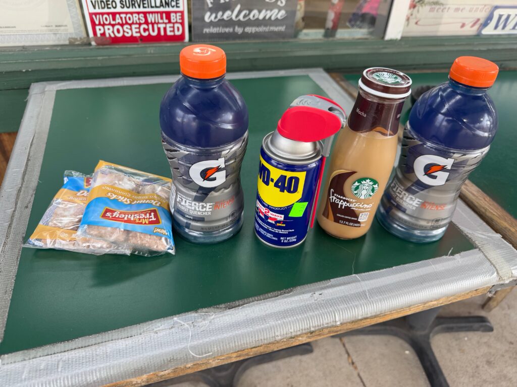
I crawled my way up the 1100+ foot climb heavily loaded thinking that the BRP would not have any refueling spots (I was wrong b/c I didn’t know about a town called the “Meadows of Dan”). I had stopped at a true general store and bought some WD40 as I could not handle how loud my chain had gotten from all the mud and rain. It was a big can, too, and I decided to bring it with me the rest of the way in a side pocket of the backpack.
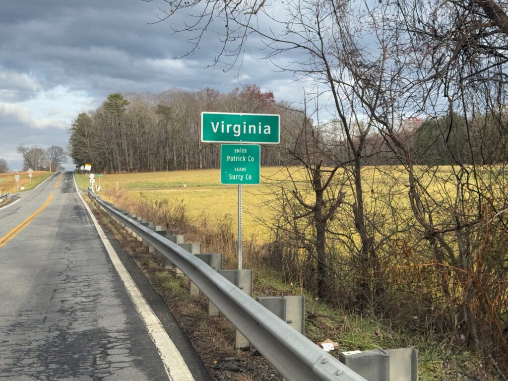
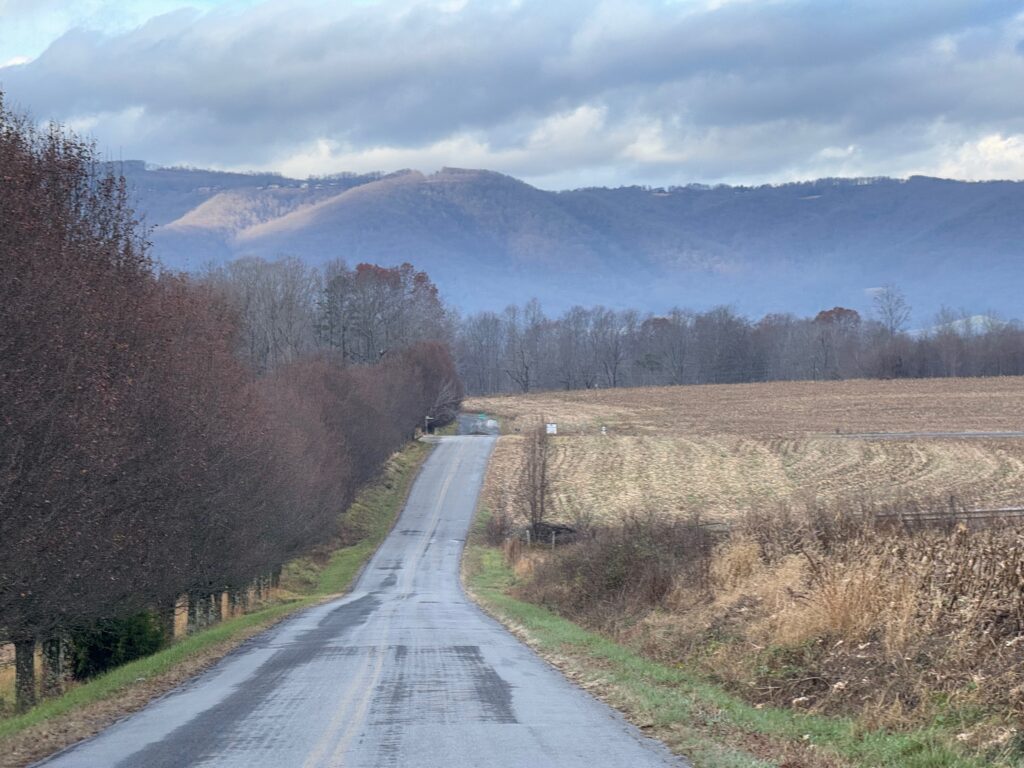
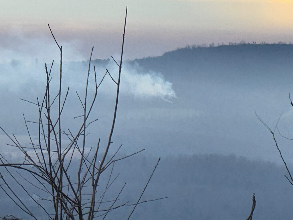
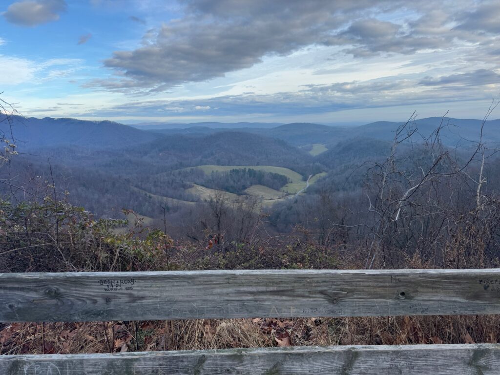
I talked to Kristine and Josiah on speakerphone as I approached the parkway as it wasn’t clear where the road I was on merged with the parkway. And Kristine was curious at the exact spot where I hit the parkway. So I called her there and my son answered the phone. The reason why it was unclear is because the road I was on stayed alongside the parkway for a while. We had a good time chatting for a bit as I was staring at 65 miles to go on the Blue Ridge Parkway … I told them I was hoping it was a tamer version of the parkway without any big climbs. And it absolutely was. It was all either up or down but the climbs were gentle and usually only about 300 feet of elevation difference.
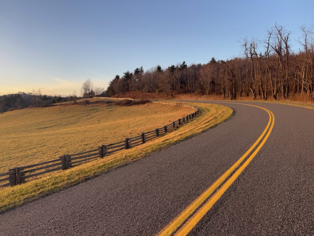
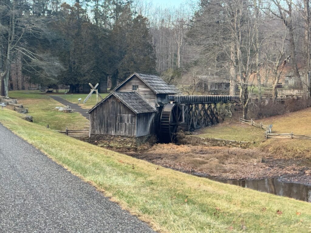
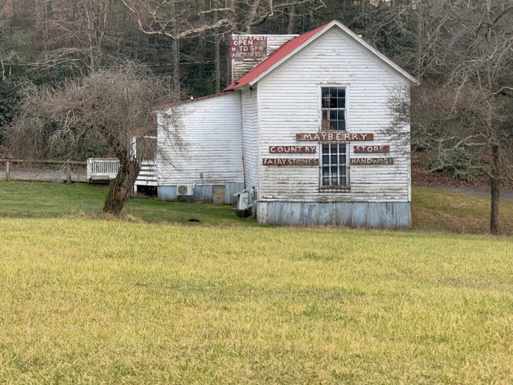
The deja vu happened early as I went out of cellphone range and it got dark after sunset. I just had this extremely isolated almost panicky feeling after being near towns and traffic or at least farms all day that I would be alone on the Blue Ridge Parkway for the next five hours … probably without cellphone reception, too. This happened to me during the Tour Divide on the next to last day in what I still consider to be the hardest thing I have ever done on (or off) the bicycle. Of course, there were many times like this on the Tour Divide, but only that one where I was to the point of a panic attack of uncertainty linked above.
For this adventure and this ride, I realized how ridiculous it was as I had plenty of food, plenty of water, and wasn’t truly that far from anywhere. As it turns out, too, there were plenty of houses and side roads and even traffic using the Blue Ridge Parkway all the way to Roanoke. Still, though, that moment of panic was not fun – and this was only the second time I’ve ever felt that on any of my ridiculous biking adventures.
Google Maps had routed me off the Blue Ridge Parkway for a section a little more than halfway through (36 miles from where I joined it). I was trying to figure out why … but there were several overlooks in the section I was avoiding and it bent out of the way vs the straighter looking side road. So I kept counting down the miles to it as an intermediate point.
It was a rough gravel road for about half a mile leaving the parkway before hitting some classic, amazing Virginia chip/seal roads (they do it right up here). Unfortunately, it was mostly a descent, which meant mostly a climb back up to the parkway. Still, it was a fun diversion. I paid for it with another half mile of gravel climb to get back to the parkway.
Exiting the Blue Ridge Parkway is difficult
As it turns out, once I climbed back up to the parkway, I only had twenty miles to my turn to drop down into Roanoke. And, on top of that, there was a nearly 1500 foot descent to get to that turn. So those miles went by very fast. But what I didn’t realize is that Google maps doesn’t understand that some of the intersections don’t actually intersect the Blue Ridge Parkway. Instead, there is a bridge over the intersecting road, sometimes quite high. I still don’t understand what happened with the first “road” it tried to turn me onto. There was no road, trail, or anything there at all … just woods … between me and some houses which were built practically up to the parkway. I wasn’t going to go right through somebody’s backyard unless it was an absolute emergency, so I kept going down the Blue Ridge Parkway descent. At the next intersection, it was a bridge, again, with no access from the BRP. I saw there was another larger intersection coming up, though, so I went to that. And google maps happily re-routed me onto it … but again, it was just a bridge. This time, though, the BRP was taking a major turn, presumably up or around a mountain) with no more turns for several miles. And this was all past the hotel I was going to be staying at, so adding 3-4 miles to my route at least.
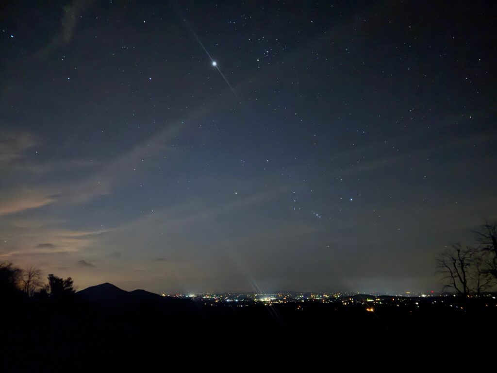
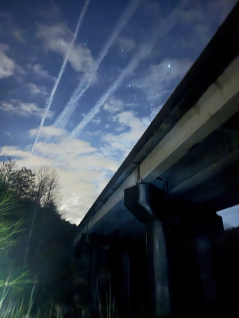
I hopped off my bike determined to make it down to the road below the bridge. I ended up cutting up my legs pretty good on thorns, tripping and almost falling which would have been bad given the steepness of the 25 foot drop down to the road below. But I made it through and onto the road. It was getting close to 9pm, so I was surprised at how much traffic I immediately ran into. I had no idea where I was, just following Google Maps directions through many neighborhoods. Eventually, I made it to the greenway which I had routed myself onto in my own planning on the much longer route I had abandoned and google maps apparently agreed for the last bit.
My hotel was again next to a Zaxby’s, which also closed at 9pm, but the drive-thru was open until 10pm so I just went through the drive thru line straight up to the window and was able to get an order in to take back to the hotel. The hotel clerk again decided to give me a voucher for free breakfast b/c I probably looked pretty ragged. Checked into the hotel with food to eat and only 100 miles to go on the final day!
As a side note, when I was down in the farmland about halfway through the ride with a 100 feet to 2 miles climbing ratio and knowing I had about 180 miles for the day, I figured I might have 8000 or 9000 feet of climbing for the day. By the end I had just over 12,000 feet of climbing! That somewhat “unexpected” climbing might be part of what was contributing to my panicky deja-vu feeling of “How am I going to make it through this?” Also, please remember that I was carrying a lot of weight … my road bike with all my equipment and charging battery packs (two 20,000 mah battery packs plus a third 10,000 mah battery pack) all on the bike, two Garmin head units, the Garmin Varia rear radar camera, two iPhone Pro max phones, one practically mini-laptop Montana 750i probably brought the bike weight up to or over 30 pounds. Then there was all my clothes and rain gear and all the wall chargers and charging cords stuffed into my backpack … and the large can of WD-40 … all that adds up to very slow climbing.
Day 4: Herding cows and flying into Staunton
A couple weeks ago when I was planning my route from Alabama to Virginia, I was cross-referencing wandrer.earth and aiming for as many new-to-me roads as possible. One of the new roads was Buffalo Rd climbing up from Buchanan towards Lexington roughly parallel to US-11 and I-81. I decided I would setup my bike with 700×28 tires and use some old puncture resistant tubes I had from years ago … specifically for this road, but also for all the other gravel roads I might encounter along the trip. It worked perfectly, except I didn’t expect to be herding cows along the road!
More on that later, first, I had to get from Roanoke to Buchanan during morning rush hour. It was the coldest of the trip so far with temps down in the mid 30s as I left. I quickly warmed up and found myself on some busy roads, but with traffic mostly heading the other way into Roanoke as I was leaving. Not too many miles into the route, I saw the first Bicycle 76 route sign, which meant I had hit part of the TransAmerica Bicycle Trail … 76 because it was developed in 1976 as part of the Bikecentennial celebration.
I’ve said this many times – riding a bicycle is about as close to a time machine as you can get. In 1976 there were hundreds, possibly thousands, of cyclists riding across the country or at least different sections of the country celebrating and experiencing this country via bicycle. And here I was nearly 50 years later, riding some of those same exact roads.
I had unknowingly routed myself along a large chunk of the 1976 route simply by using google maps bicycling directions during my planning. The roads were fantastic. Pretty hilly leaving Roanoke, but eventually finding its way and following alongside the main rail line meaning that the route became quite a bit flatter with long gentle climbs or gentle descents. Each time the road had to leave the tracks, there was usually a climb or descent or river to cross. There was very little traffic … especially relative to my normal riding.
I stopped at a gas station early to get some coffee and warm up, breaking out my hand warmers to use in my gloves and stuff into my shoes. I chatted with a number of people who came into get coffee plus the clerk working there. Super friendly people that were amazed I had ridden there from Alabama this time of year … but it also wasn’t so surprising to them because that gas station was on the Bike 76 route, so they probably do get some long distance riders every now and then.
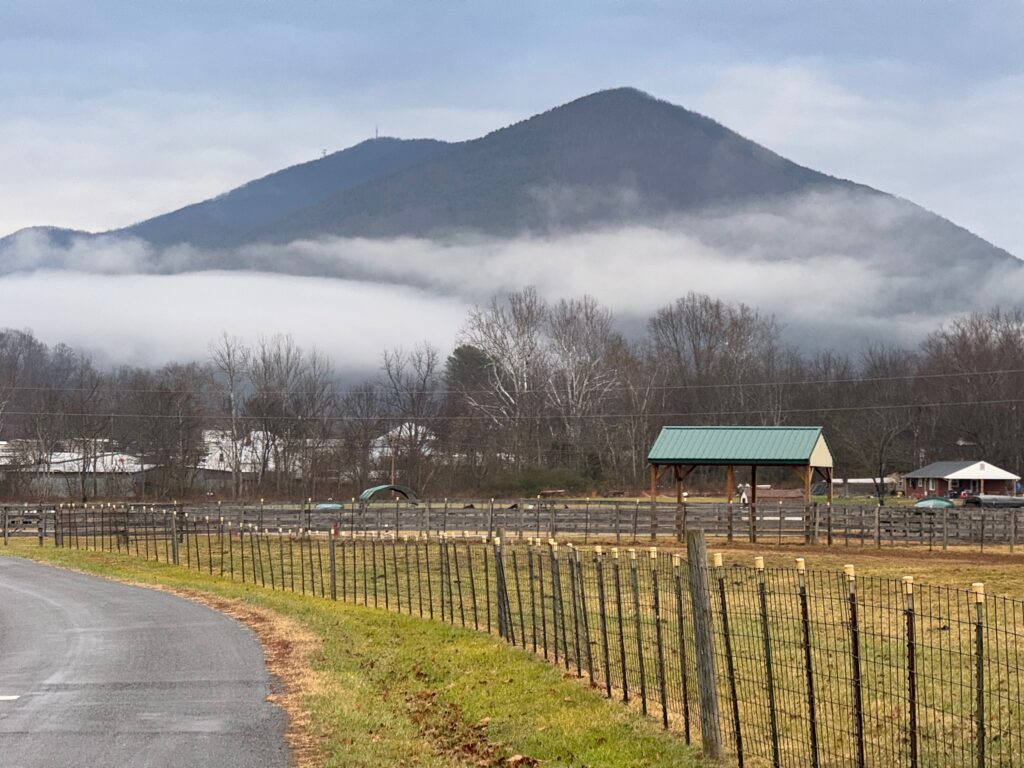
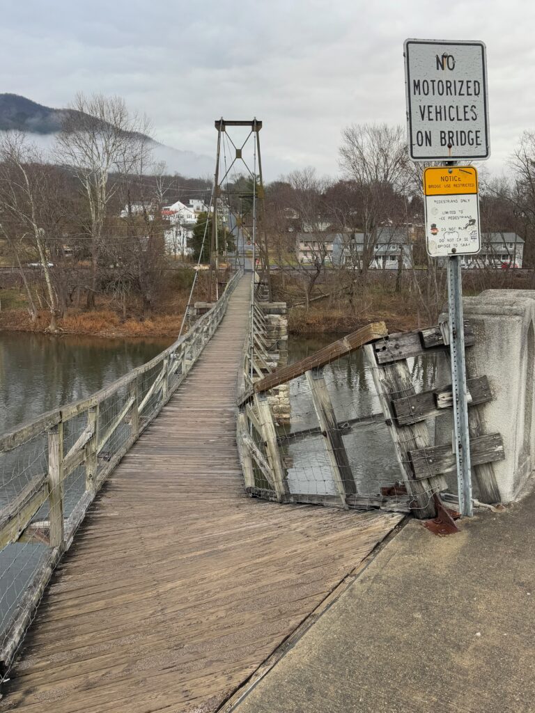
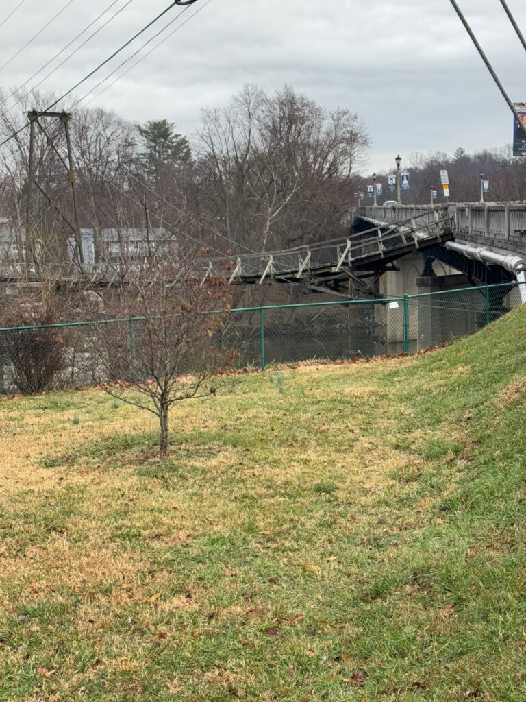
After the gas station, the route just got better and better with high trestles I would ride under before climbing back up to a road parallel to the tracks several miles later. Eventually, I made it Buchanan, Virginia where I had noticed was a swinging bridge that I had missed the last two times I had ridden through the area. This time, I wasn’t going to miss it! It was a long, narrow bridge over the James River. And it was slick from morning fog and a little bit of light drizzle that had just come through. So I had to hold onto the side and shuffle my way down the steep, off-chamber entrance from the sidewalk and then was able to ride across once I made it past that section.
My route then left the Bike 76 route which continued east of Hwy 11, whereas I turned left onto Greyledge Rd, which would eventually turn into Buffalo Rd. One of the things I noticed through here and other earlier roads is that George Washington National Forest would cover tiny strips alongside either side of creeks/rivers that roads would follow. So technically the creeks and rivers were public land (national forest), but they were plastered mile after mile with no trespassing signs. Presumably, the land leading up to the creek was privately owned. I, of course, had no interest in the creeks but did find it interesting this interplay of public/private land. There was occasionally an access point that looked public seeing on “special use” sign. There were also interesting little bridges every now and then across the creek with no discernible trail from the road to the bridge. So I was wondering if this was a hiking trail that stayed literally on the banks of some of the creeks and would cross over at different spots.
Finally, we’ve made it back to the cows. Greyledge Rd climbed alongside one of the creeks I just described with large plantation like farms sitting on many, many acres of land. Eventually, there was a turn to go to a community called Greyledge that looked like it was several large plantations around a lake. This is probably where the name of the road changed when I went left to become Buffalo Rd.
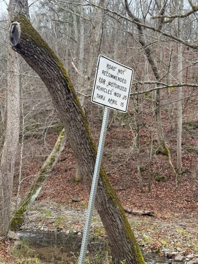
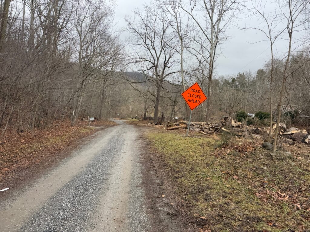
A mile or two later at the spot where the road changed to gravel was the sign in the left picture above, indicating travel not recommended from November to April. The “Road Closed” sign in the right picture looked temporary and was only a few hundred meters along the gravel road. I worried this would be a repeat of the peanut butter mud, bridges out, or landslides. But I was so intrigued by the good gravel road that I didn’t give turning around a thought at all.
Shortly passed the road closed sign was the first of many creek crossings. Keep in mind – 45 degF and a long ways to go – I found a way to walk across the creek on some rocks although it looked plenty shallow and easy enough to ride through. If anything went wrong, I would be submerging my shoe in 8-10 inches of water … well above sock line meaning I would be riding the next 2 hours with very, very cold feet. It wasn’t worth the risk to me.
The next creek crossing had less water. The one after that had no water, but instead it was full of cows. See earlier video. There was a fence off to the left and steep hill to the right so I wasn’t sure how long I would have to follow them. There were some spots for the cows to go back into their field, and I would lose one or two at each opening. But three stubbornly kept going for probably a couple minutes of slow riding.
Eventually, they were all gone, and I was back to crossing dry creek beds and riding surprisingly good gravel for an unmaintained winter road. This whole road was a 450 foot climb, which apparently crossed into a different basin b/c I went from a dry creek back to full creeks again. The widest and deepest was still rideable, but again I wasn’t going to risk screwing something up and submerging my feet given how many hours I had left to ride. But this crossing was wide enough that even going up the creek off the road wasn’t providing great crossing opportunities as documented in the video above.
VMI bike paths and cadets
Eventually, I made it back to pavement, rolling hills, and a couple miles later … traffic … as I made it into the outskirts of Lexington. I had only ridden through Lexington one time before on a commute from Birmingham to Staunton for Thanksgiving, and I had pretty much just gone straight through town on US-11. For this route, since it was going to be a short day, I had routed myself through a greenway I found, followed by a tour through the middle of Virginia Military Institute.
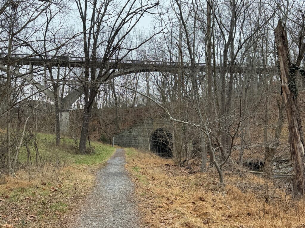
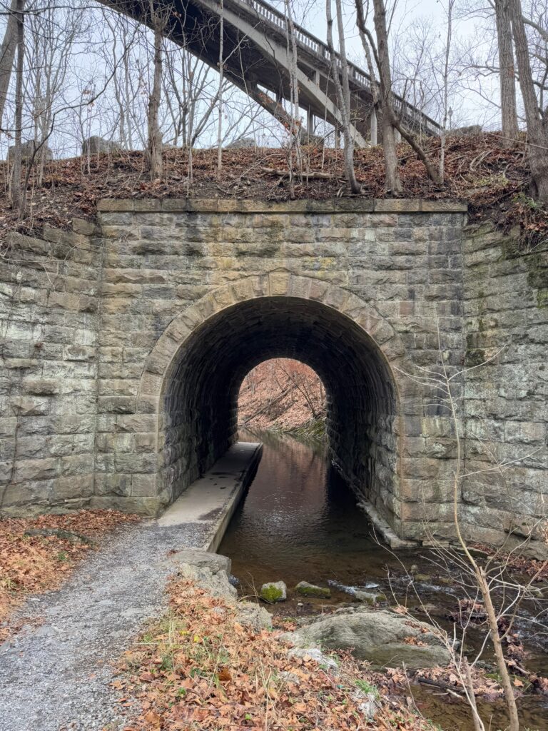
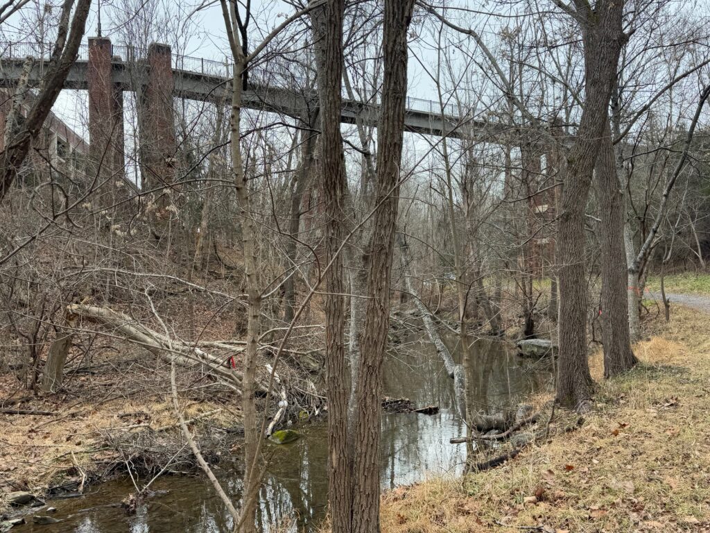
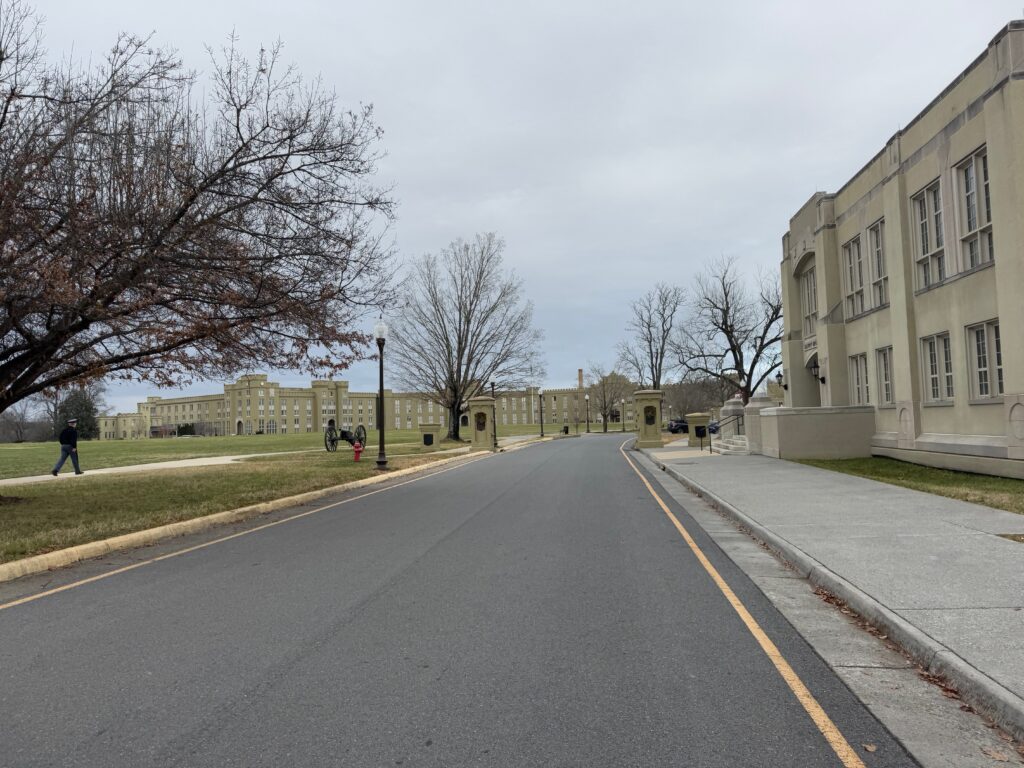
The greenway was gravel, but easily rideable and followed Woods Creek before feeding into the fairly large Maury River. This creek cuts a pretty deep gorge, so Lexington / VMI invested in VERY tall bridges to keep the campus walkways relatively level to connect opposite sides of the gorge as you can see in the pics above.
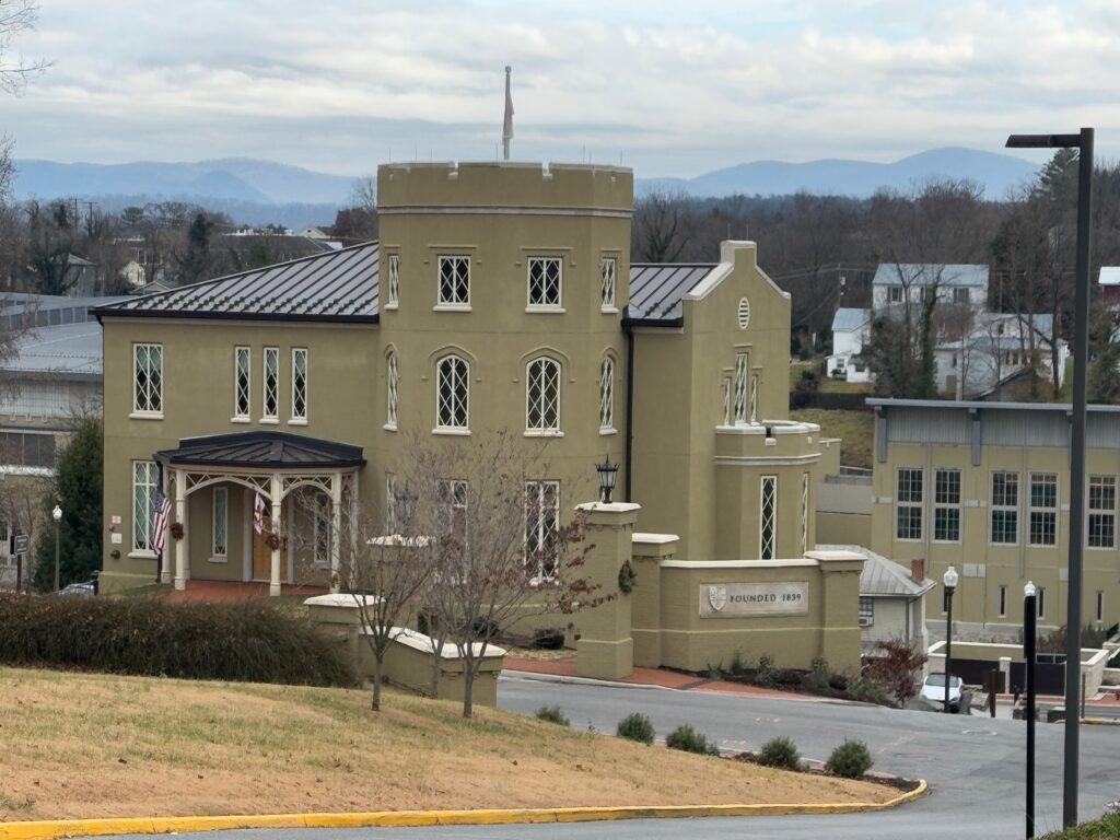
The greenway ended on the edge of campus. After a steep climb, I found myself overlooking the main entrance and a nice view of the Blue Ridge and turning into the central part of campus. I expected it to be deserted, but after I made it around the corner in the bottom left pic above, there were cadets everywhere. It looked like they were packing things up, so possibly the term was just ending and they were getting ready to go home for winter break?
After crossing the main highway, I found myself back on the Bike 76 route for a short bit before it turns right to climb up to the Blue Ridge Parkway and make its way over to Charlottesville and eventually Yorktown on the coast. I needed to cross over the other side of I-81 and make my way up and across a ridge that surrounds the southwest side of Staunton. This was again a gravel road, but it was a much faster, smoother one I took at full speed with the excitement of almost being there.
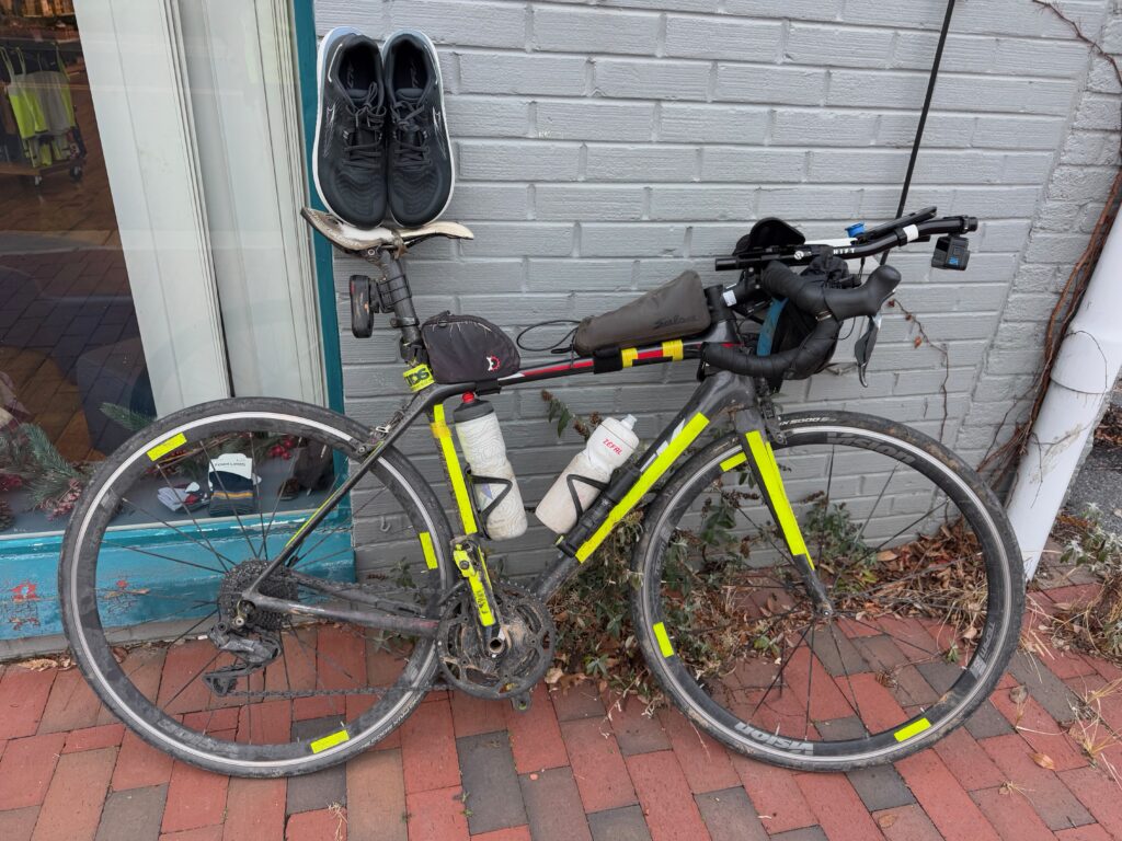
The only problem was I had no clothes waiting for me in Staunton, so I needed to run by Walmart to by some clothes. With Walmart being in one of the busiest areas out of town and me making it there around 4:15pm, it was a bit of a mess. I found some cheap pants and a shirt named George and took off to make it to the running store to buy some shoes. I figured rather than spending $30 on a cheap pair of shoes, I would go ahead and buy some replacement shoes for my work shoes which are now quite holy after more than a decade of use.
Luckily, the Sole Focus running store was open until 5 and had my shoes in my size. Also, sales tax is so cheap here in Virginia, 5% I think, compared to nearly 10% back home I saved $8 or $9 just on tax alone. But more importantly, I had shoes I could walk around town in, instead of my winter bike boots. This shop was only a couple blocks away from my daughter’s apartment, but my bag was completely full of all my cycling clothes I had brought as well as the new clothes from walmart, that I had no room for the shoes. I ended up just carrying them in my left hand without the box while riding the two blocks to her apartment.
Leave a Reply