 Overview map showing the entire Shades Mountain ridge line highlighted in red (click to zoom in)
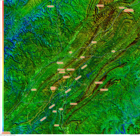 Complete Shades Mountain topography annotated (click for super-hi res 12MB version)
Shades Mountain is one of my favorite mountains in Birmingham. After climbing 10,000 ft on Red Mountain yesterday (Tuesday), I didn’t want Shades Mountain to feel left out so today (Wednesday), I climbed 10,000 ft mostly on the southern portion of Shades Mountain out towards Bluff Ridge. I live at the bottom of Shades Mountain and commute over it every day to work (during the school year). The topography of the mountain is really intriguing. The part of it closest to where I live is a double-ridge mountain thanks to a creek that cuts down through the middle of Vestavia Hills and on over into Bluff Park. Plus it runs for about 60 miles starting a few miles south of Tannehill and running northeast to Springville where it ends in an interesting series of ridges (lots of them). All along the 60 mile length of the mountain, there are probably several hundred ways to climb the mountain.
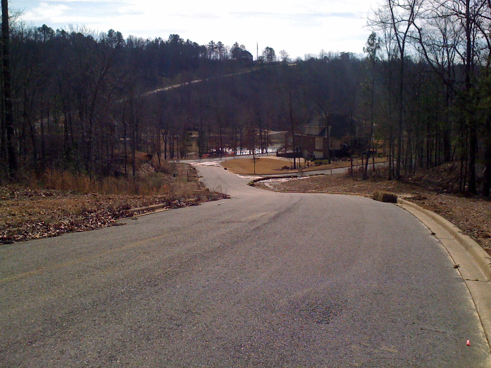
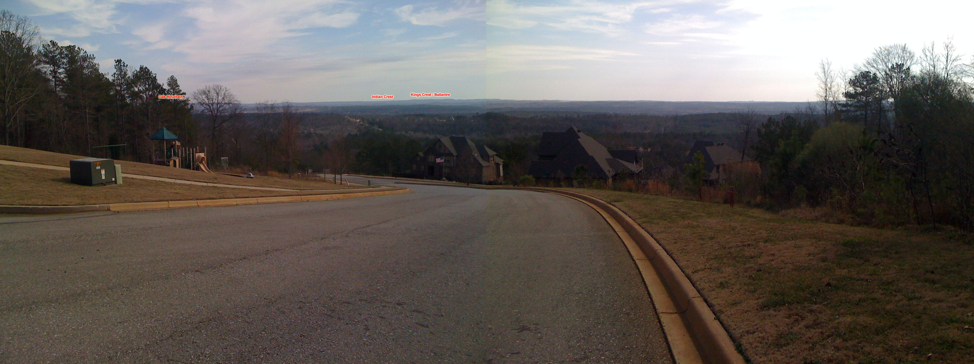
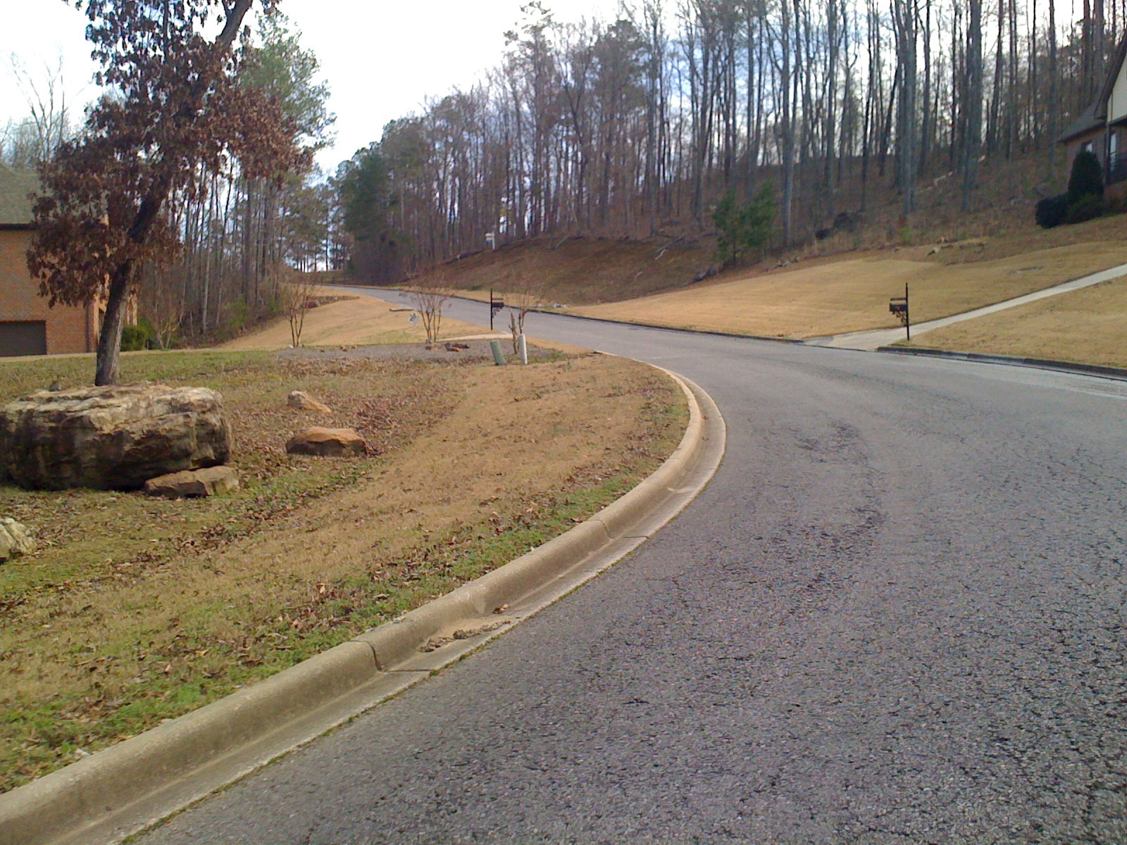
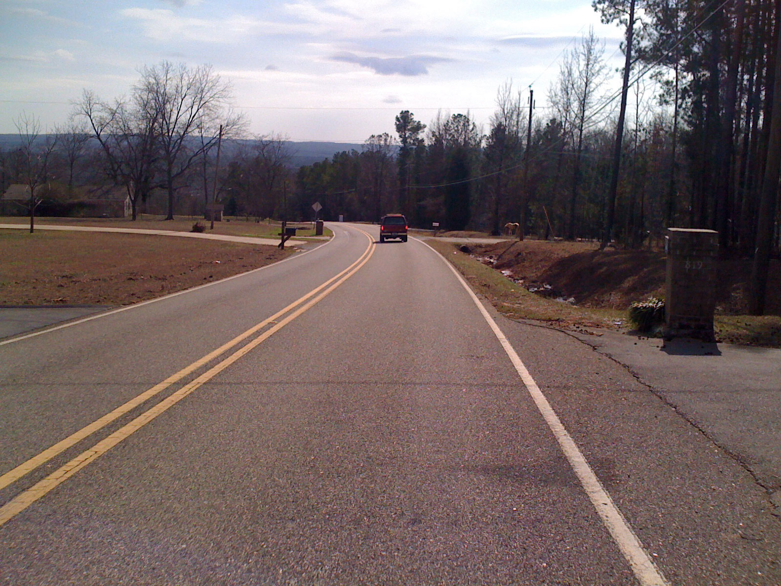
Today, I headed to the southern portion of the mountain and did some climbing and photographing of the steep neighborhood access roads. The ridgeline is very narrow at its southern end dropping off steeply on either side with South Shades Crest road running along the top. Within the past 10 years, a number of neighborhoods have been built in the valleys on either side of the ridge. These neighborhoods all have steep access roads coming off the ridge down into the neighborhood. Plus, South Shades Crest road itself eventually turns into Bluff Ridge Rd and dives off the mountain towards Bessemer crossing two smaller ridges. If you turn around at the bottom and go back up to the main ridge, you traverse what is called the “Triple Climb”. At the top you can make a quick right left to hit Co Rd 1 which is a nice 50+mph descent … turn around at the bottom and you have a short steep 10% cat 4 climb back up the ridge.
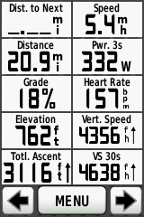
Still tired from yesterday’s ride on Red Mountain, I had decided to go easy on all the climbs and get pictures of everything … but later in the ride I started feeling better so I decided to try and set a KOM back-to-back double (KOM on one side of the mountain, turn around and KOM coming back up the other side). I couldn’t quite do it, but I did hit a new power record on the Triple Climb (see screenshot below).
 New power record – 336 watts for 13’10”
Here are the climbs annotated with Garmin Screenshot and photo for each climb (except for Triple climb which doesn’t have a photo) –
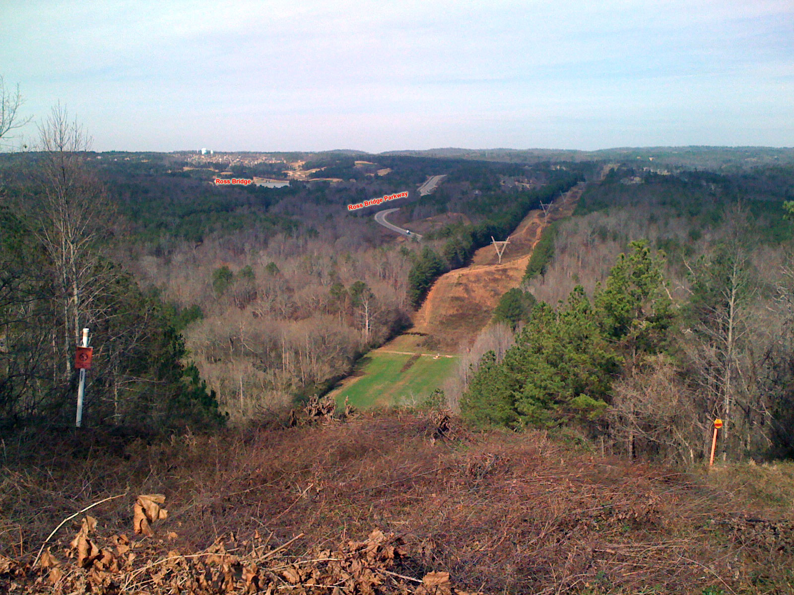 Ross bridge parkway
One more pic from the day – power line trails next to Ross Bridge parkway – I used to go mountain biking on these trails with friends while I was in high school. Fun times!


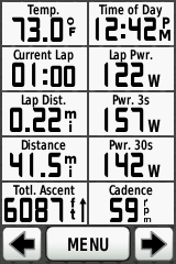 Note – this Garmin screenshot doesn’t have anything to do with the photo. The screenshot was taken out near the horizon behind and slightly left of Ross Bridge







Leave a Reply